Adventures in Oregon: Inland to Crater Lake

We loved the adventures we had driving southward down the coast of Oregon. We saw much of the ocean and nautical scenes as well as a variety of mountain hikes and nature preserves. It was the type of hiking we enjoy the most.

The weather was a bit disappointing from time-to-time, but considering coastal fickelness, I think we fared fairly well. It was now time to head inland for our last and perhaps most anticipated stop, Crater Lake National Park.

We were aware of the wildfires in Washington and Oregon as we had followed them prior to arriving in Portland, OR. If we were skeptical, our doubts vanished at the airport where ash was landing on our luggage as we waited for our rental car and most the the staff were wearing masks. We were believers!

Along the coast, the wildfires made only a small impact on our visit, but when we arrived at Crater Lake after a good day’s drive, this is what we saw.
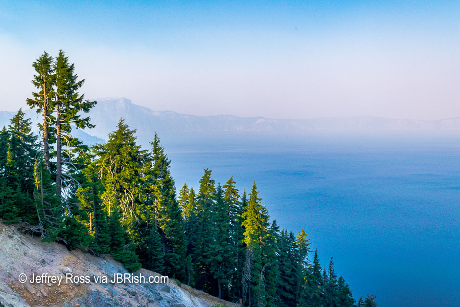

Smoke and smog over Crater Lake
This was the best view. There were times when it was worse.

We had booked our room at Crater Lake Lodge more than a year ahead of time and paid an upcharge for a lakeside view. To say we were disappointed, is an understatement. We visited the ranger station, but the news was not good. The smoke predictions for the week were bleak indeed.

We were betwixt and between trying to decide what to do. We took some rides along the rim of the lake, but really there was not much we could see. Crater Lake is supposed to be an astonishing color and reportedly has some of the purest water in the world, but it could not be truly appreciated.

After consulting the weather/wind forecasts with our minimal wi-fi connection, discussions with the rangers and the hotel staff, we decided it would be wise to cancel the rest of our trip and head home.

***NOTE*** – I must extend plaudits to the park and the hotel for their willingness to provide a refund for all but the day we were staying at the hotel. The room was costly and the hotel was sparsely populated with guests. It wasn’t pleasant for the park service or those guests who were playing board games in the lounge when they would rather have been out hiking.

We were able to change our flights, etc. and we were prepared to head for Portland the next morning. I decided to wake up early to see if the quiet morning atmosphere would yield a worthy view.
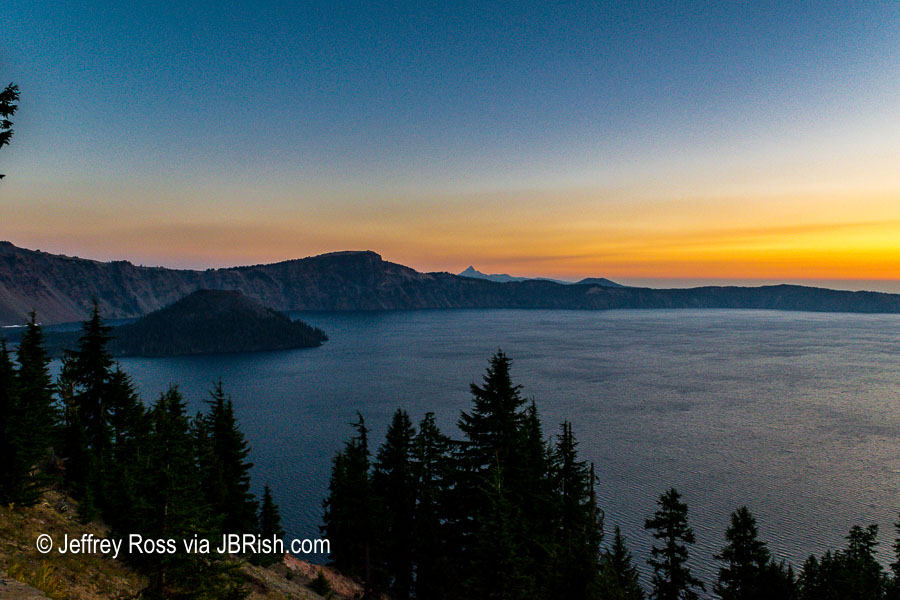

A nice view the next morning!

I could not believe how nice the lake looked. I could finally see some detail and the color of the light was picturesque. That island to the left is known as Wizard Island.
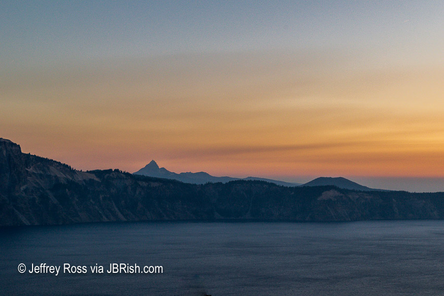

Mount Thielsen from Crater Lake at Sunrise

The photo above shows a mountain rising in the distance which I believe to be Mount Thielsen with a height of over 9,000 feet at the peak. Google Maps suggests that the access road is only 6 miles from Crater Lake, but then there is the road from highway 138 to the mountain.

You can read more about Mount Thielsen HERE

I was so excited to be able to see parts of the lake and the surrounding area, that I took this panorama to document the scene.


Worthy of a Panorama

As we were loading the car for the trip to Portland and doubts arose in our minds, I was able to snap some daylight photos of the lake.
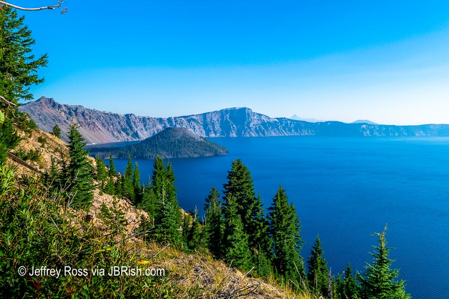

Wizard Island with the smoke lifting.

There is Wizard Island looking pretty good!

Here is a closer look!
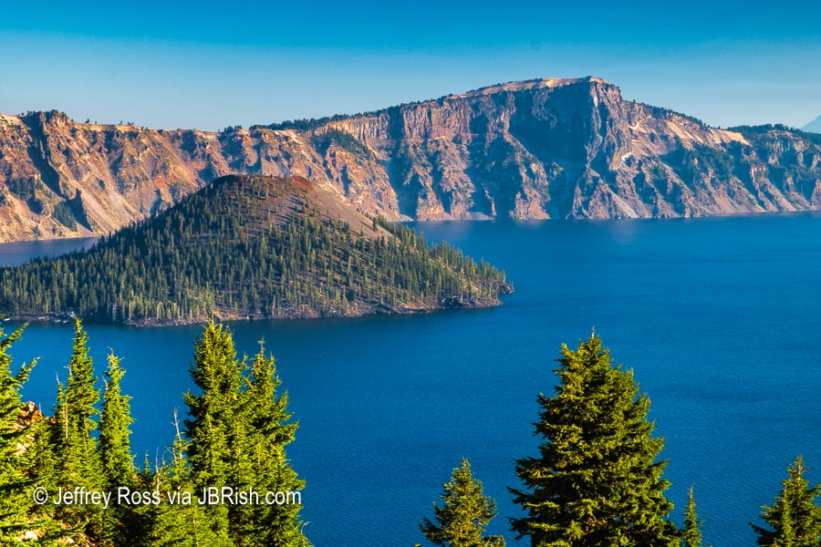

A closer look at Wizard Island

Although it was a bit perplexing, we were set on returning to our desert home. Along the way we kept checking the weather reports to validate our decision to leave. We were able to learn that the smoke was once again heading to Crater Lake and more scenes like the one below were to be in the offing.
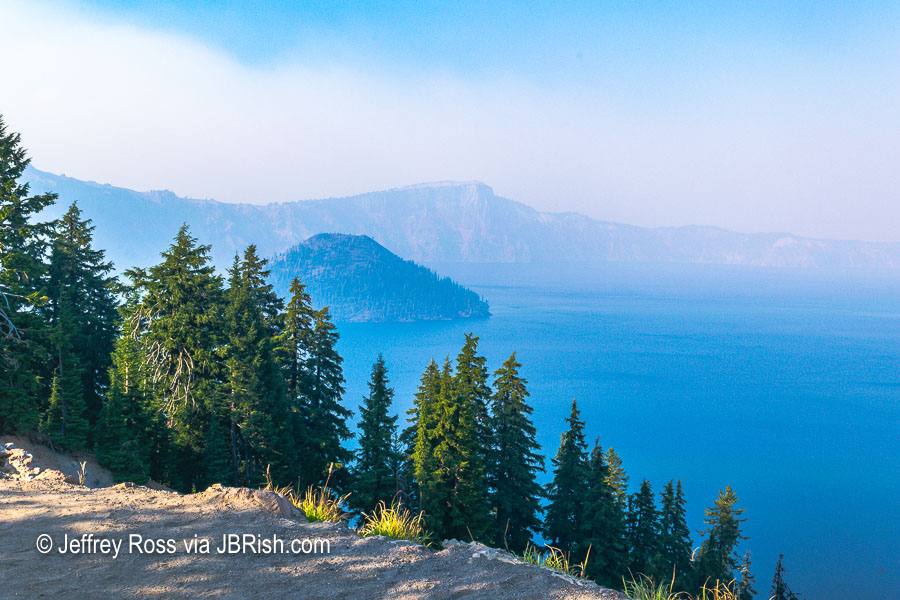

Another view with the Smoke closing in.

All in all we were satisfied we made the best decision we could. We were heading out early and stopped for breakfast and lunch. We thought we would have a smooth trip to the Portland airport, but nothing could prepare us for the traffic which nearly kept us from making our flight; but that’s another story.


**********

Read previous posts about our adventures hiking and exploring in Oregon:

Exploring Astoria, Oregon – Part 1

Exploring Astoria, Oregon – Part 2

Exploring Astoria, Oregon – Part 3

Adventures in Oregon: Warrenton to Seaside

Adventures in Oregon: Hiking at Indian Beach

Adventures in Oregon: Views from Ecola Point

Adventures in Oregon: Movin’ On Down the Road

Adventures in Oregon: Garibaldi’s Graces and Pier

Adventures in Oregon: Tillamook – Cape Meares Lighthouse

Adventures in Oregon: Pacific City, Neskowin & Lincoln City

Adventures in Oregon: Cascade Head and Hart’s Cove in Lincoln City

Adventures in Oregon: Cape Foulweather & Drift Creek Falls

Adventures in Oregon: Newport to Yachats

Adventures in Oregon: Heceta Head & Sand Dunes

Adventures in Oregon: State Parks: Umpqua to Shore Acres

Adventures in Oregon: From the Shore to the Falls


Read more Hiking and Exploration posts HERE


**********


All original content on this blog is copyrighted by Jeffrey B. Ross with ALL Rights Reserved. While reference links back to JBRish.com are appreciated and encouraged, please acquire approval for any reproduction of original content from this website.

©Jeffrey B. Ross – 2018 – JBRish.com


Adventures in Oregon: Newport to Yachats


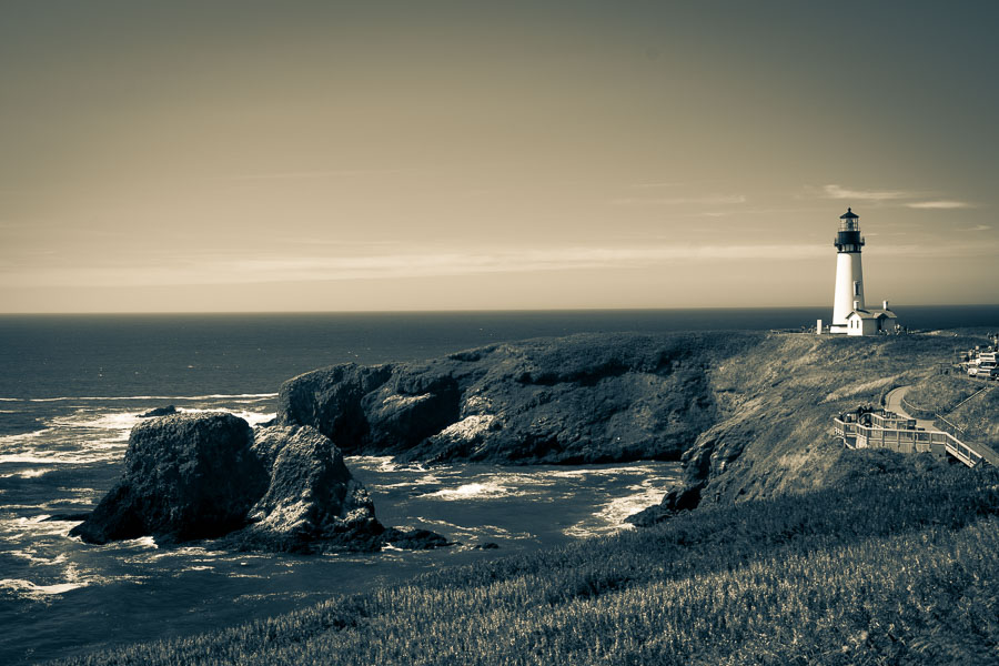
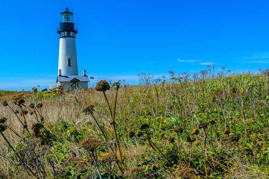
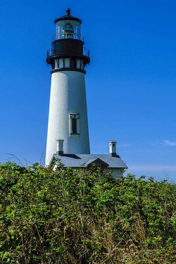
Yaquina Head Lightouhse
Yaquina Head Lighthouse ,Newport, OR

Lighthouses have often had a romantic and storied aura about them and they remain just as alluring today as they have in our nation’s past. Although numerous lighthouses are no longer in use, they still draw visitors to the edge of the oceans and nearby cliffs.


Yaquina Head Lightouhse

The Yaquina Head Lighthouse is located north of Newport, at Yaquina Head Outstanding Natural Area. If you are a photographer, plan to stop several times during the approach to the main parking lot as the views are excellent from a variety of vantage points.


Yaquina Head Lightouhse

If the day is busy, it will be a challenge to take photos without numbers of tourists in and around the lighthouse, but careful framing can keep the focus on the lighthouse itself.


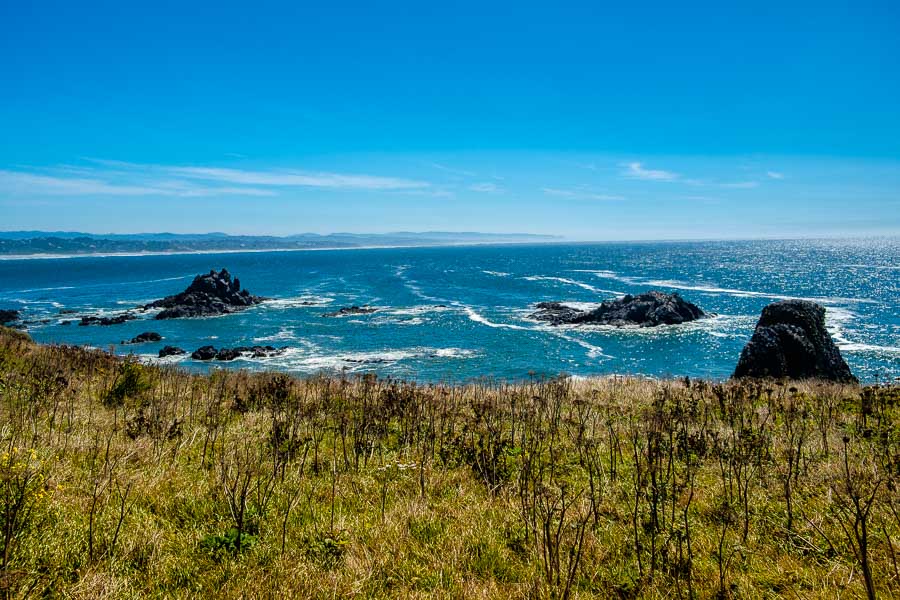
Ocean views provide their own beauty!

The lighthouse isn’t the only photo-worthy subject as the ocean cliffs and rock formations against the grassy bluffs provide another form of beauty!

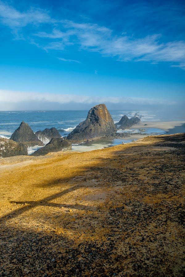
Just a short 20-plus minutes south brought us to another noted stop, Seal Rock. It was a pretty ocean front park with several magnificent rock formations. We didn’t see any seals this day, but the sunlight was most welcome.


Seal Rock - Sunrise
Seal Rock Recreation Site with the morning sun breaking through


Sunrise at Seal Rock

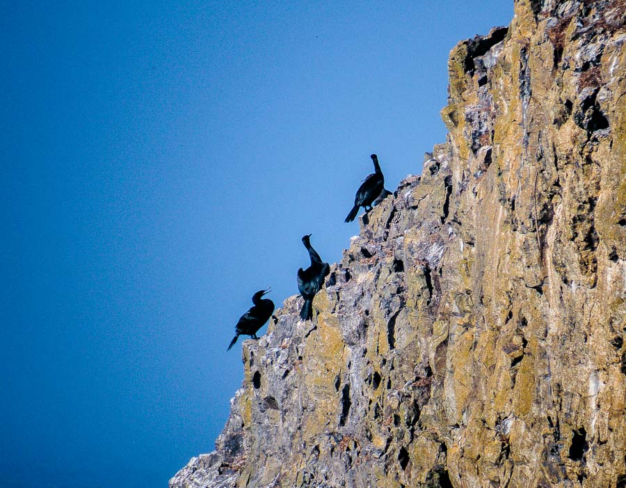
While the seals were not present this morning…


Sunrise at Seal Rock

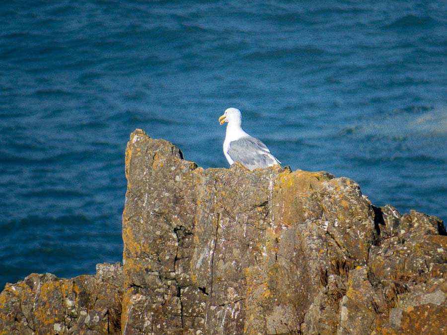
the Cormorants and Seagulls were enjoying the warmth of the sun!


Sunrise at Seal Rock

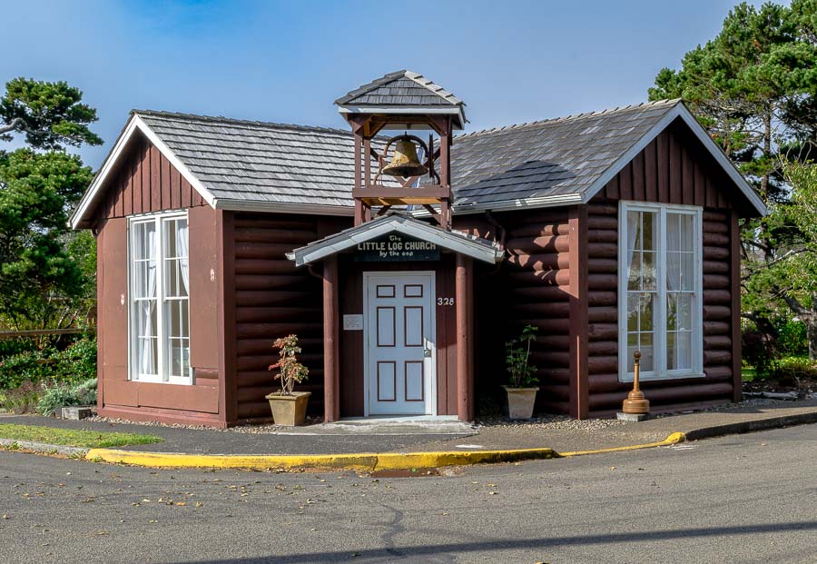
I enjoy unique and different buildings and Yachats had a historic church that was hewn from local timbers erected in the shape of a cross in 1930. The church was not open for visitors when we arrived, but I took a photograph to record the stop.


Little Log Church

Just north of the Cape Perpetua Visitor’s Center, we stopped to investigate the Devil’s Churn. With a name like that, who could resist? This inlet is noted for the rushing, churning waters.


The Devil's Churn

One area that we found worthy of longer exploration was Cape Perpetua.


The power of the Pacific at Cape Perpetua
The Power of the Pacific could be felt at Cape Perpetua

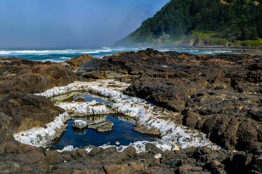
There were numerous tide pools and basins for the curious!


Ocean basin and tide pools to explore

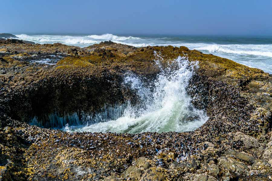
One intriguing, highly touted attraction was Thor’s Well (below). The depression is best seen during higher tides, but was interesting enough for us as water gushed up from beneath the hole in the rocky formation. At higher tides, the water spills into the hole creating an interesting visual effect – see photos HERE.


The Devil's Punchbowl at Cape Perpetua

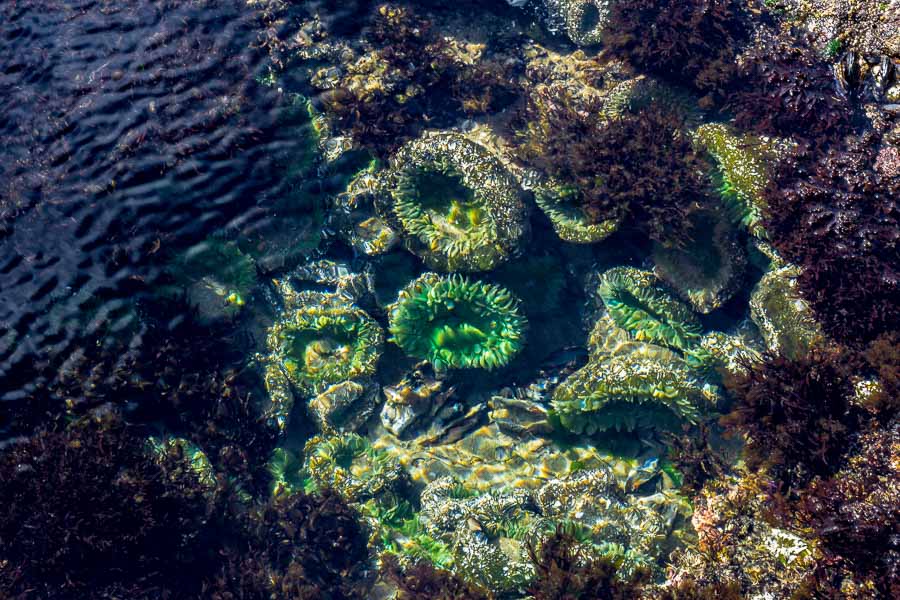
We also spent time exploring the tide pools and enjoying the beautiful creatures that live within. These anemones were a deep emerald green color!


A closeup of the anemones in a nearby tide pool

It was time to check our itinerary and head to our next stop; the Heceta Head Lighthouse.


**********

Read previous posts about our adventures hiking and exploring in Oregon:

Exploring Astoria, Oregon – Part 1

Exploring Astoria, Oregon – Part 2

Exploring Astoria, Oregon – Part 3

Adventures in Oregon: Warrenton to Seaside

Adventures in Oregon: Hiking at Indian Beach

Adventures in Oregon: Views from Ecola Point

Adventures in Oregon: Movin’ On Down the Road

Adventures in Oregon: Garibaldi’s Graces and Pier

Adventures in Oregon: Tillamook – Cape Meares Lighthouse

Adventures in Oregon: Pacific City, Neskowin & Lincoln City

Adventures in Oregon: Cascade Head and Hart’s Cove in Lincoln City

Adventures in Oregon: Cape Foulweather & Drift Creek Falls


Read more Hiking and Exploration posts HERE


**********


All original content on this blog is copyrighted by Jeffrey B. Ross with ALL Rights Reserved. While reference links back to JBRish.com are appreciated and encouraged, please acquire approval for any reproduction of original content from this website.

©Jeffrey B. Ross – 2018 – JBRish.com


Adventures in Oregon: Cascade Head and Hart’s Cove in Lincoln City

We were anxious to travel to Lincoln City, OR as we had read so many intriguing reviews of the areas we chose for hiking. The Cascade Head Preserve seemed especially promising. It is a coastal headland with two trails one of which is much longer; 4.2 miles. The upper trail leads to the most scenic views and brings hikers to the top of the hills overlooking the ocean and nearby shore. This was really a no-brainer for us.

We opted for the shorter upper trail which was a relatively flat mile-long hike. We had been hiking for several days already and planned to continue hiking once we arrived at Crater Lake National Park so this seemed prudent.

It was difficult to find the correct forest road (Cascade Head Road 1861) which is more of a cut out along the highway than anything else. We persevered and finally wound up at the trailhead ready to go.

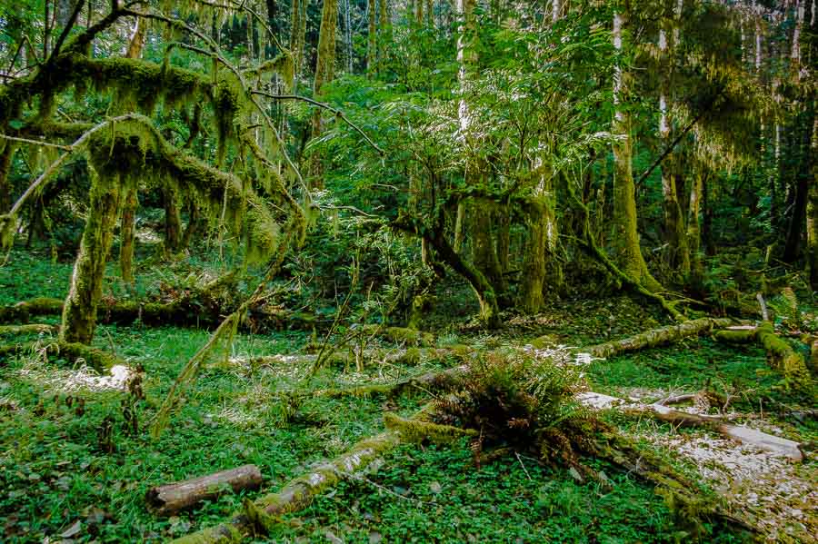
The first part of the hike looked like a pathway in Jurassic Park with the fungi and mosses covering the tree branches.


Jungle-like growth at the start of the trail

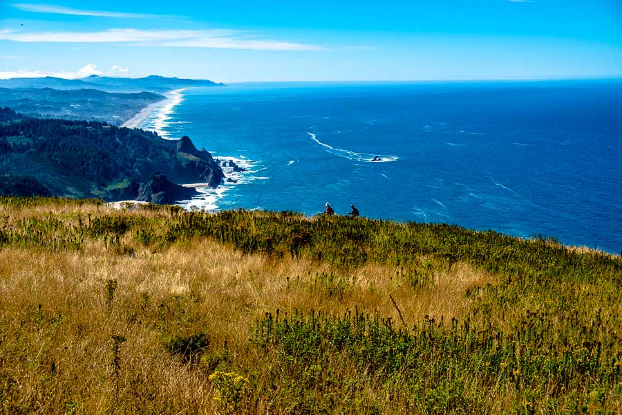
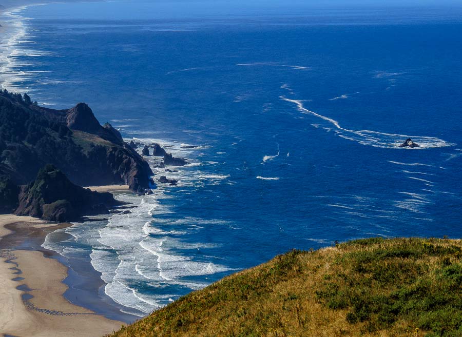
After hiking for a a bit more than twenty minutes, we reached the meadow viewpoints. The vista was stunning.


The meadow and ocean revealed themselves

As we moved closer to the descending side of the hill, we could watch hikers arriving from the lower trail.


Hikers were arriving from the lower trail

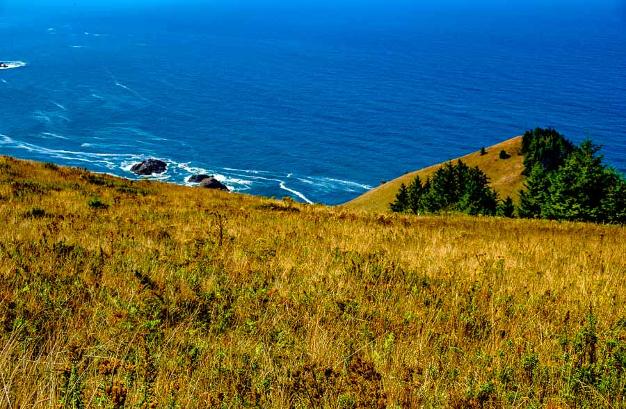
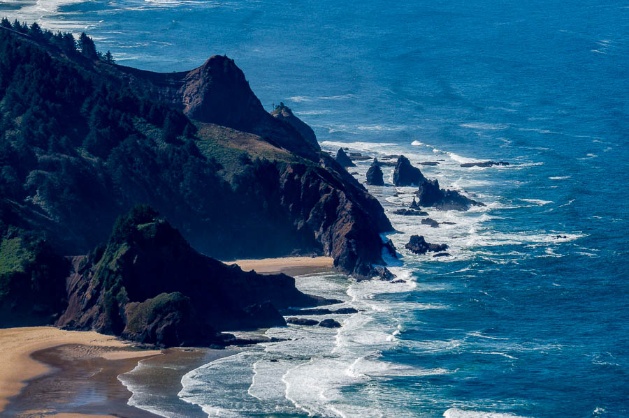
The contrast of the golden meadow, the green trees and shrubs against the blue ocean was a superb display of nature’s palette.


nature's colorful palette
A contrast of colors

The craggy rock outcroppings were also very dramatic.


Dramatic craggy outcroppings


Dramatic craggy outcroppings

I couldn’t resist taking a panorama from this expansive vantage point with such a remarkable view.


A panorama taken form the top of the meadow

Feeling self-satisfied, we decided to attempt the trek to Hart’s Cove and drove to that trailhead. We were somewhat daunted by the steepness of the trail heading down as we knew it would be uphill coming back. One rule of hiking when there is no loop is that for every down, there is an up!

We asked some ascending hikers what their thoughts were and after some encouragement, we began the descent. It was indeed downhill!

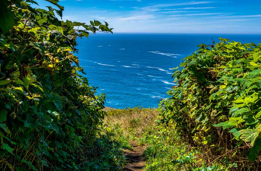
The first part of the hike takes trekkers through forests of hemlock and Sitka spruce. We then arrived at the open trail to the grassy meadow with anticipation of seeing the cove.


Finally, the path to the cove

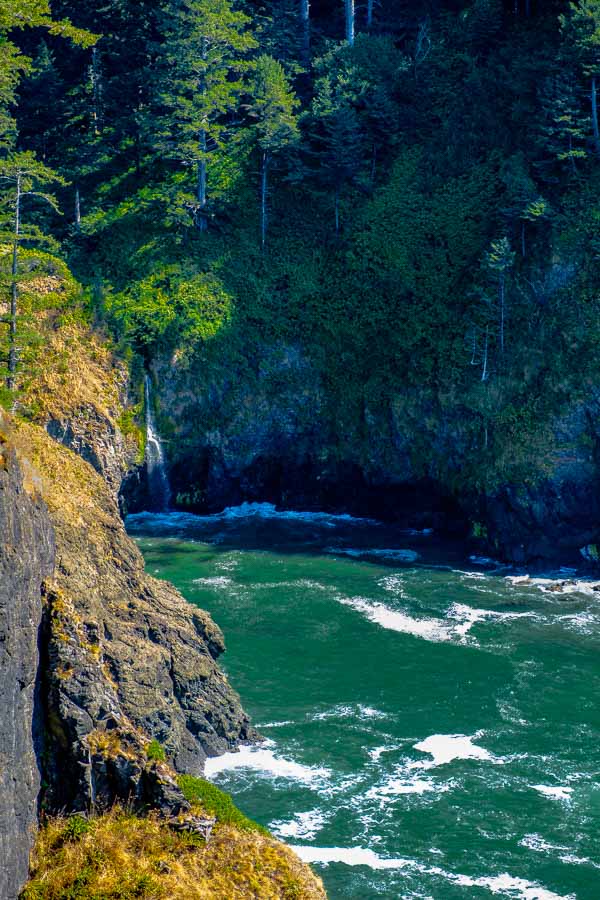
We were careful with our footing and made our way to an area where we could have lunch and enjoy the view of the cove.


A scenic backdrop
A scenic backdrop

Although we couldn’t see the sea lions, we could hear them barking in the distance.


A wonderful spot to enjoy lunch

We lingered for a time taking in the view and enjoying the best this area had to offer. Although we faced a strenuous (for us) return trip, the memories will remain long after our muscles have recovered.


A final view of the cove before we headed back

For more information, you can refer to this web page: Cascade Head and Hart’s Cove


**********

Read previous posts about our adventures hiking and exploring in Oregon:

Exploring Astoria, Oregon – Part 1

Exploring Astoria, Oregon – Part 2

Exploring Astoria, Oregon – Part 3

Adventures in Oregon: Warrenton to Seaside

Adventures in Oregon: Hiking at Indian Beach

Adventures in Oregon: Views from Ecola Point

Adventures in Oregon: Movin’ On Down the Road

Adventures in Oregon: Garibaldi’s Graces and Pier

Adventures in Oregon: Tillamook – Cape Meares Lighthouse

Adventures in Oregon: Pacific City, Neskowin & Lincoln City


Read more Hiking and Exploration posts HERE


**********


All original content on this blog is copyrighted by Jeffrey B. Ross with ALL Rights Reserved. While reference links back to JBRish.com are appreciated and encouraged, please acquire approval for any reproduction of original content from this website.

©Jeffrey B. Ross – 2018 – JBRish.com


Adventures in Oregon: Adventures in Oregon: Cape Lookout, South Trail

It had been raining the day before and we had previously had our share of grey, misty days so we were excited to find the clouds lifting and the sun breaking through.

The majesty represented by a beautiful tree and a well-populated forest always resonated with my spirit and the South Trail on Cape Lookout did not disappoint in this respect.

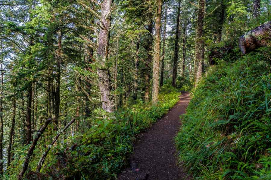
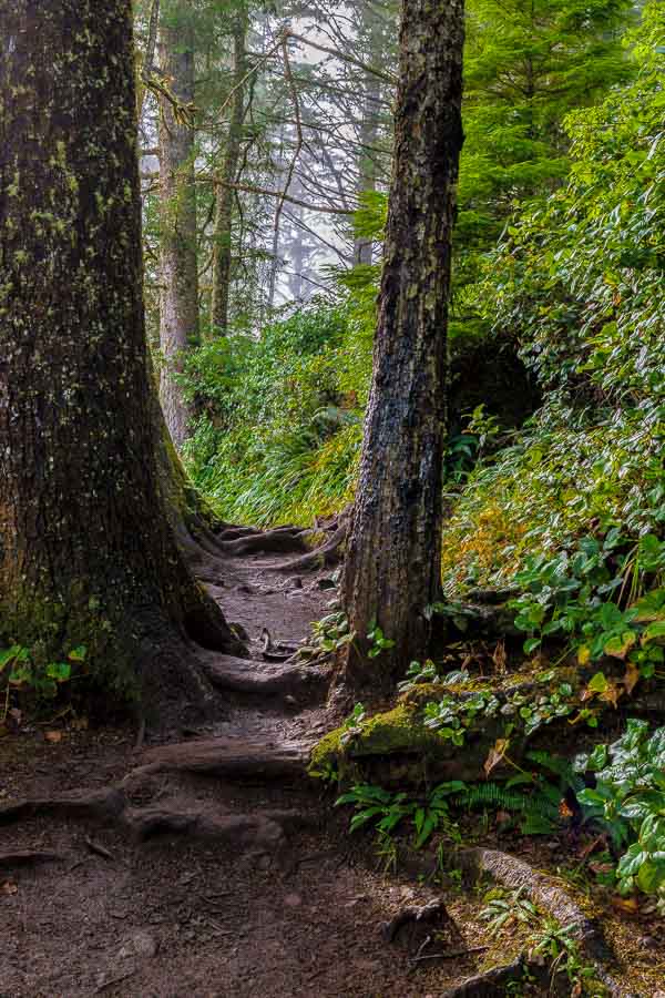
The trail begins very modestly.


A trail through the woods
The South Trail of Cape Lookout Begins

Soon the coast appears to add interest to the hike. The fog was still rather low, but was beginning to lift.


Fog was lifting as we began our hike.
The fog was lifting to reveal more of the ocean

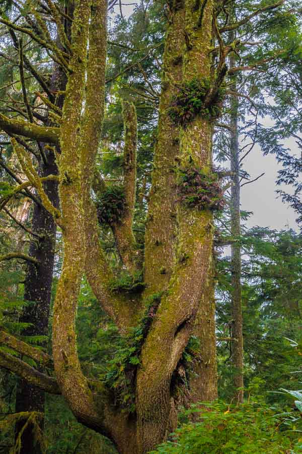
As we moved further inland, the forest began to reveal some of its interesting sights. The ferns growing in the nooks and crannies of the tree limbs are known as basket ferns. This area is close enough to the shore to provide ample moisture for these plants to thrive.


Ferns growing in the crooks of tree limbs
Ferns growing in the crooks of tree limbs known as basket ferns

As the trail meandered through forest and intermittently along the coastline, we were treated to vistas of the ocean and shore.


Coastline vista
The trail reveals vistas of the coast

This was a picturesque cove that we stopped to admire both coming and going!


A picturesque cove
A picturesque cove shows can be seen through a break in the tree line

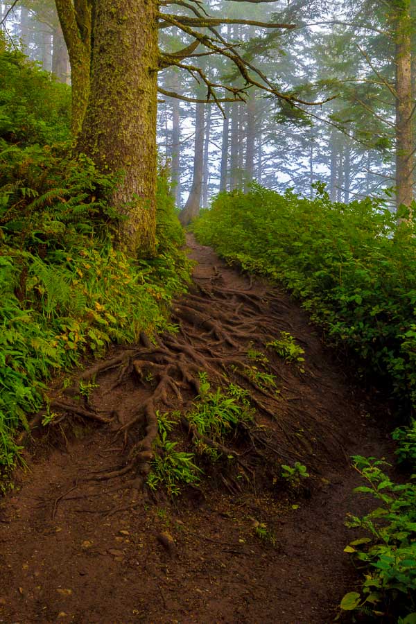
The path was very muddy in places because of the recent rains.


A muddy path
The path was muddy from overnight rains

On the return trip, we began to encounter more hikers. Luckily we started early enough to have the trail to ourselves during most of the hike to the cape. In season, I would anticipate larger crowds.

This (below) was one of my favorite stops along the trail. The colorful browns and greens and the mist-laden atmosphere was very captivating.


A serene landscape along the trail

Here is another shot of the coast showing one of the panoramic views from the trail.


A panoramic view of the coast

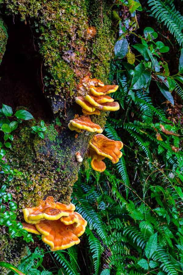
Not actually a flower, this Chicken of the Woods wild mushroom (Laetiporus sulphureus), was as nice as many wildflowers.


beautiful wild mushroom
Nature’s art seen in a beautiful wild mushroom

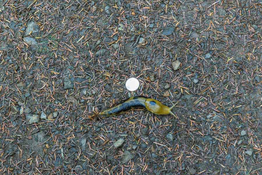
As we neared the parking area, we came across yet another Banana slug. They grow them big in this wooded area as the quarter coin next to it demonstrates!


Large Banana slug
Large Banana slug

While some may feel that the South Trail of Cape Lookout does not have a remarkable payoff at the end, it is a nice vantage point for whale watching and looking at the ocean. Keep in mind that getting there is more than half the fun!


**********

Read previous posts about our adventures hiking and exploring in Oregon:

Exploring Astoria, Oregon – Part 1

Exploring Astoria, Oregon – Part 2

Exploring Astoria, Oregon – Part 3

Adventures in Oregon: Warrenton to Seaside

Adventures in Oregon: Hiking at Indian Beach

Adventures in Oregon: Views from Ecola Point

Adventures in Oregon: Movin’ On Down the Road

Adventures in Oregon: Garibaldi’s Graces and Pier

Adventures in Oregon: Tillamook – Cape Meares Lighthouse


Read more Hiking and Exploration posts HERE


**********


All original content on this blog is copyrighted by Jeffrey B. Ross with ALL Rights Reserved. While reference links back to JBRish.com are appreciated and encouraged, please acquire approval for any reproduction of original content from this website.

©Jeffrey B. Ross – 2018 – JBRish.com


Cape Meares, lighthouse, ocean, pacific, beach, scenery, history, landscape, pacific ocean

Adventures in Oregon: Tillamook – Cape Meares Lighthouse


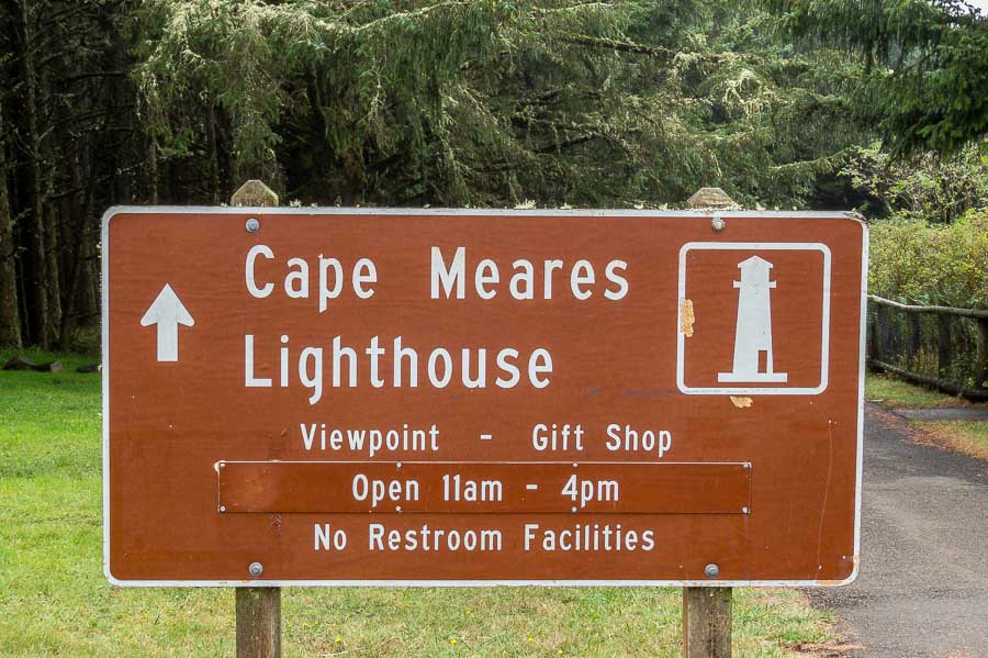
Cape Meares Sign

I knew little about Tillamook, OR except that it was a dairy town and I only knew that because our grocery stores have Tillamook cheeses and ice cream. The town of Tillamook itself wasn’t a major stop on our itinerary, but served more as a jump off point for the hiking areas relatively nearby.

Our first adventure outside of Tillamook was to the Cape Meares Lighthouse.

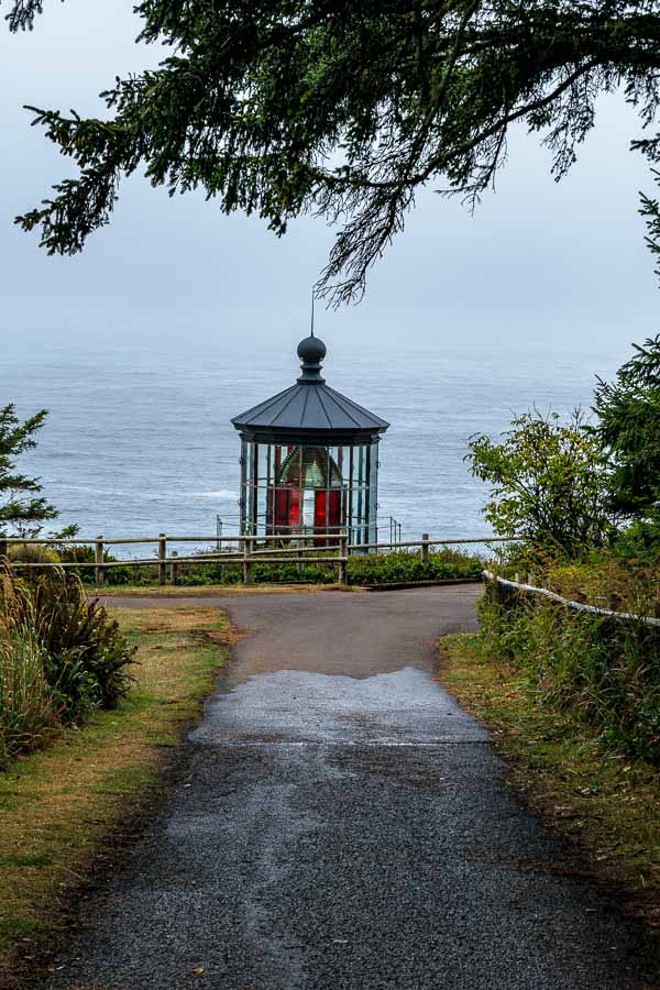
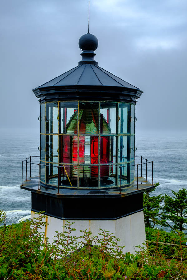
As you can see in the picture below, there is a clear path from the parking lot to the lighthouse area. It was a dreary day, but the seaside’s dramatic ambience was enticing. Ocean storms can be dramatic!


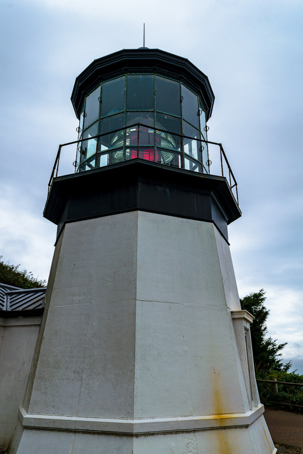
The top of the Tillamook Lighthouse
The top of the Tillamook Lighthouse seen from the walking path

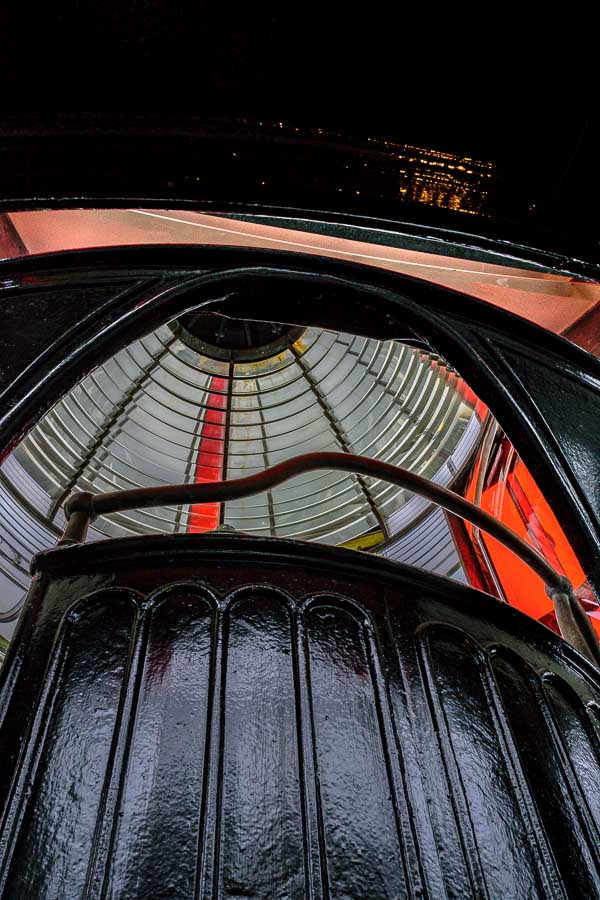
I hadn’t appreciated the fact that lighthouses have lights with different color patterns. The red and clear glass created a “signal” to let captains know that this is Cape Meares. Not only are there different color patterns, but the duration that each color is visible is very precise.


Color glass pattern of the lighthouse lens
Clear and Red glass create the signal that this is Cape Meares

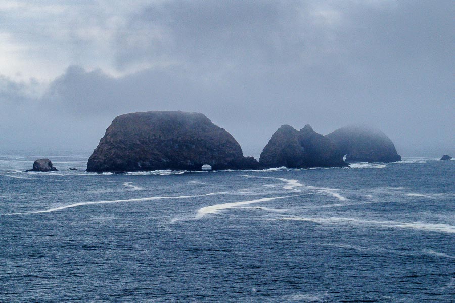
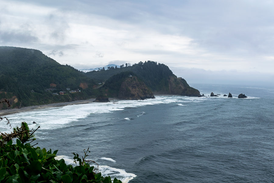
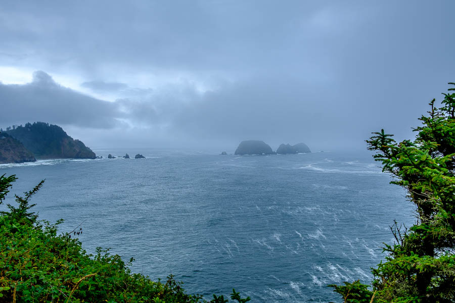
Before taking the lighthouse tour, we walked to the edge of the visiting area to capture a few stormy photographs of the picturesque rock formations and the choppy waters of the Pacific.


The rocky coastline was stormy this day

Here’s a closer view…


A closer view of the rock formations offshore

The lighouse was near the edge of the cliff overlooking the ocean and therefore did not have to be too tall for the sake of visibility.


Tillamook Lighthouse is located on the edge of a cliff
The roofline to the right helps point to the short stature of the lighthouse

From the inside, visitors can appreciate the lens arrangement and all of the mechanisms required to operate and maintain a lighthouse


Colorful glass seen inside the lighthouse
The colorful glass seen against the dark metal provide visual appeal

The polished gears gave evidence to the excellent condition of this lighthouse and the machinery needed to operate the turret.


Gears used to rotate the light
Gears used to rotate the turret

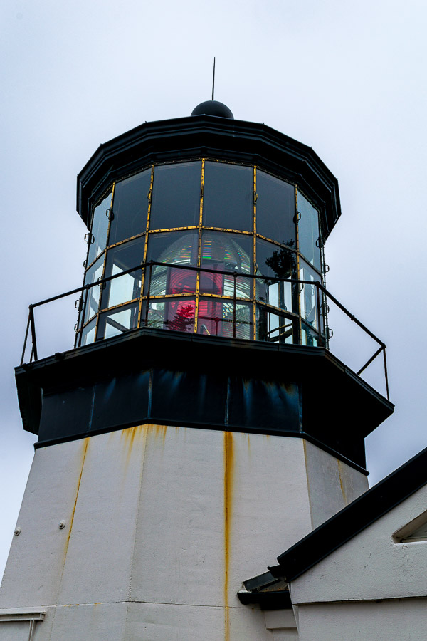
This picture gives a good representation of the size of the main tower of the lighthouse.


A picture of the vertical portion of the lighthouse
The vertical portion of the lighthouse

The tour was very interesting and the docent was very knowledgeable about lighthouses in general and of the Cape Meares structure specifically.

There were a few more stops we could have made in the park, but the weather was not conducive so we decided to head back to town. On the return path, we came across a very large Banana Slug (Ariolimax columbianus). I placed a quarter next to it to help viewers understand the size of this animal; impressive for a slug.


A very large Banana Slug (Ariolimax columbianus)

One last look back at the coastline before the trip back to Tillamook.


The coastline near the lighthouse


**********

Read previous posts about our adventures hiking and exploring in Oregon:

Exploring Astoria, Oregon – Part 1

Exploring Astoria, Oregon – Part 2

Exploring Astoria, Oregon – Part 3

Adventures in Oregon: Warrenton to Seaside

Adventures in Oregon: Hiking at Indian Beach

Adventures in Oregon: Views from Ecola Point

Adventures in Oregon: Movin’ On Down the Road

Adventures in Oregon: Garibaldi’s Graces and Pier


Read more Hiking and Exploration posts HERE


**********


All original content on this blog is copyrighted by Jeffrey B. Ross with ALL Rights Reserved. While reference links back to JBRish.com are appreciated and encouraged, please acquire approval for any reproduction of original content from this website.

©Jeffrey B. Ross – 2017 – JBRish.com
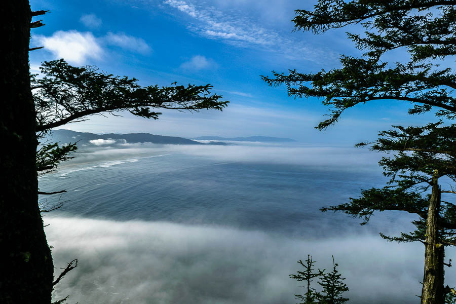


Cape Meares, lighthouse, ocean, pacific, beach, scenery, history, landscape, pacific ocean

Photography – On the Rocks, Off the Rocks

When we were hiking along the coast of Northern California, there were warning signs about “rogue waves” and advisories not to turn your back on the ocean. There is a good reason for this as indicated in the video below. The ocean is unpredictable. Don’t put yourself or others at risk for the sake of photography.

From the YouTube Channel:
“On a beach day, I decided to take a photograph on a rock that I found gorgeous. I was not aware my husband was making a video. While I was posing, he started to scream about the wave, and it really took me by surprise.” -Rosangela de Silva
Occurred: February 29, 2016 / Rio de Janeiro, Brazil”


To See more JBRish Videos, Click Here