Krka National Park – Wet, Wild and Wonderful


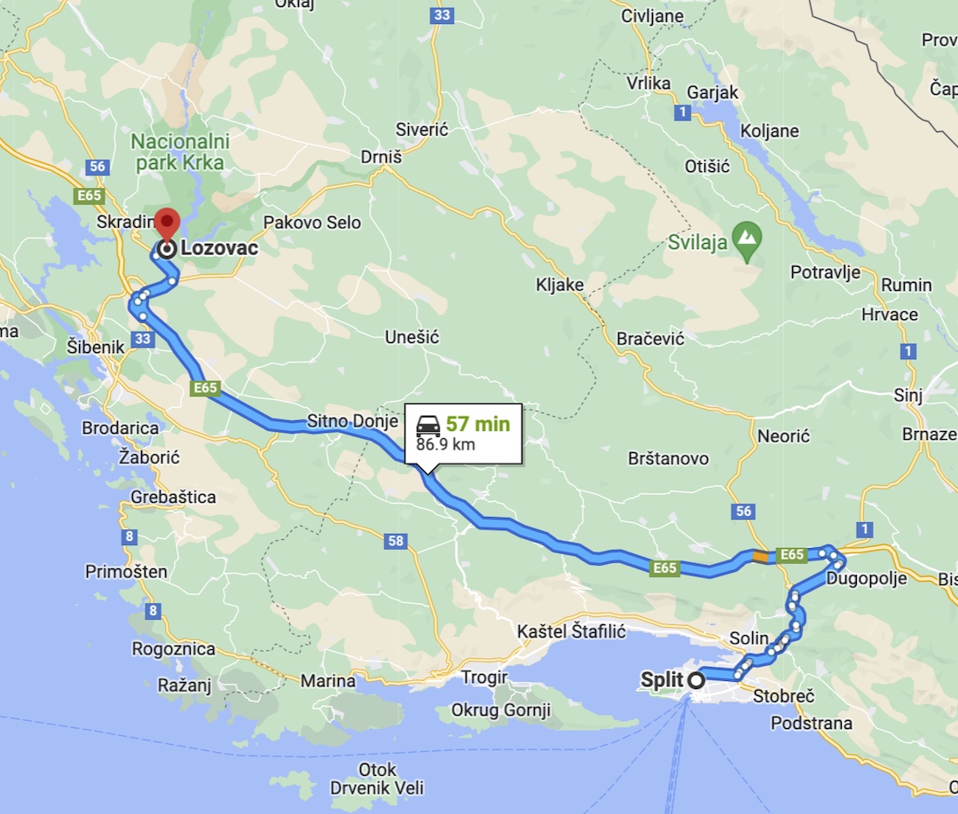
Krka National Park is a relatively easy day trip from Split, Croatia and an option that I would heartily recommend. It is one thing to see images online, but nothing can convey the absolute beauty of being there.

The park’s name is derived from the Krka River which is the source of the water that dances over the numerous falls. It must be noted that during peak seasons the park is usually crowded, but still large enough to handle the traffic.

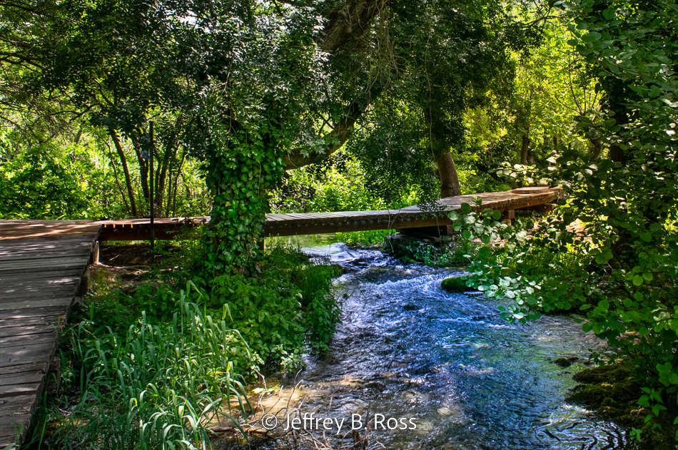
A main boardwalk guides visitors to many of the park’s most interesting venues.


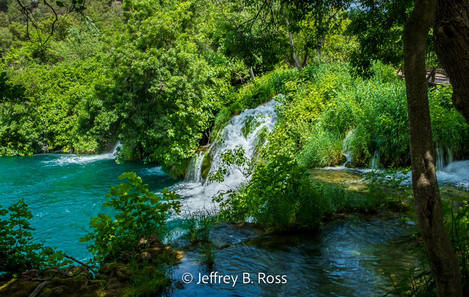
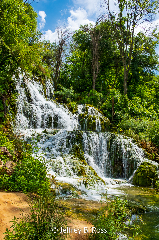
What is striking about Krka is that there are so many waterfalls in such a condensed area.


At times it seemed like visitors were being ambushed by waterfalls that were lurking just around the bend.


While the waterfalls will prove most enjoyable, there are other elements to be enjoyed both natural and man-made.

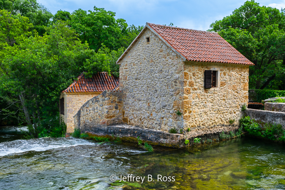
The old stone house now serves as a souvenir shop…


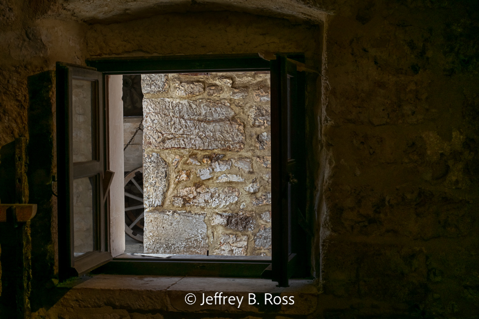
and a water-powered grist mill is also interesting.


While strolling along the boardwalk it pays to be alert. There are fish swimming alongside the guided path obviously desensitized to the presence of visitors..


We also heard frogs croaking as we hiked through one area and sure enough they were hiding among the vegetation.


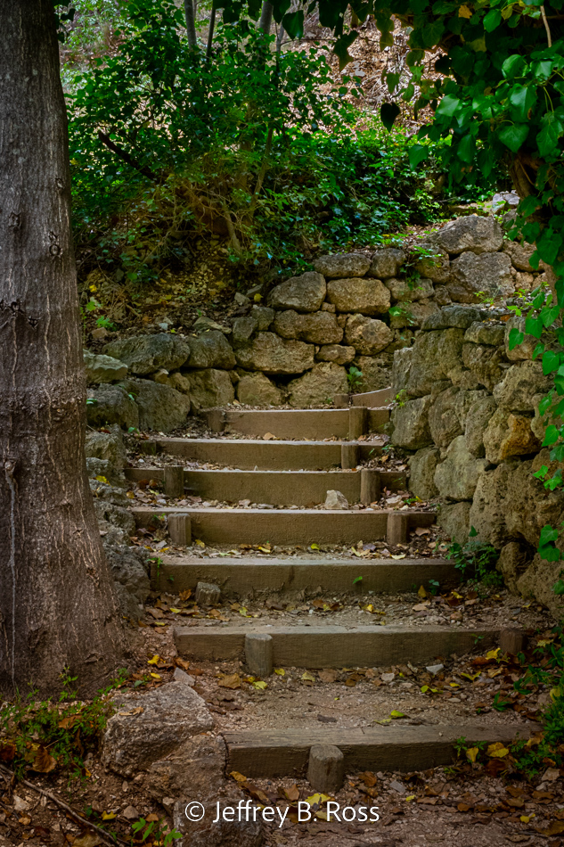
Carefully planned woodland routes include picturesque stone-walled stairways.


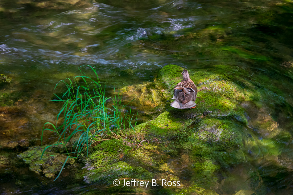
As much as we were enjoying our stroll through nature’s beautiful showcase, the ducks were enjoying it as well.


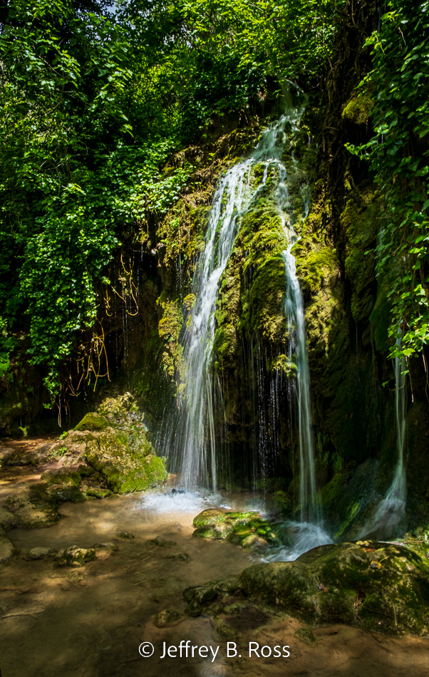
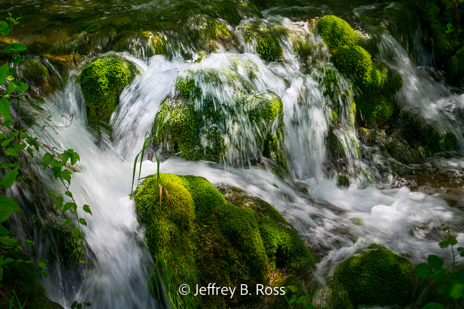
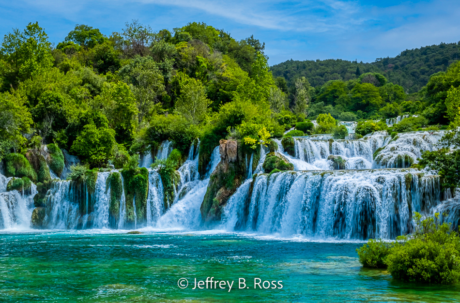
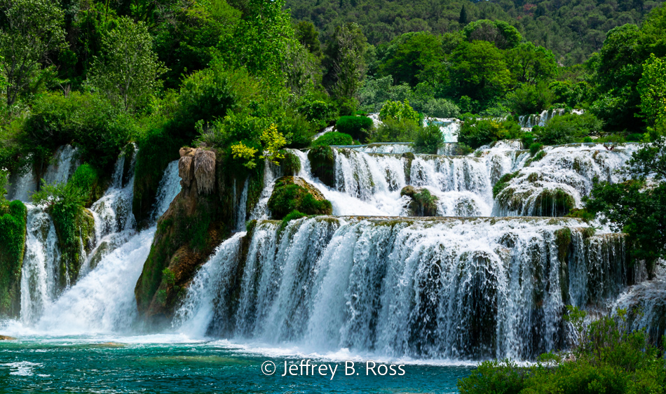
The star of the show were the numerous waterfalls which seem to spring up everywhere in rivulets or cascades in one form or another.


On the downward swing toward the park’s main attraction we passed this showy torrent.


From a nearby clearing we could see the prominent Skradinski Buk waterfalls and the boardwalk crowded with admirers.


The Skradinski Buk is a fitting highlight to the end of the tour. It is a series of layered rock terraces which turns the flowing stream into spectacular, interwoven cascades.


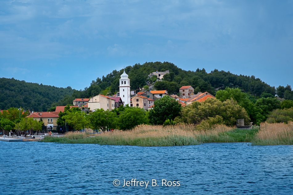
After leaving Krka National Park, we took a short boat ride to the quaint town of Skradin.


**********

See Previous Posts in this series:


Dubrovnik, Croatia – Pearl of the Adriatic

Old Town Dubrovnik – Above it all

Old Town Dubrovnik – The Low Down

Dubrovnik from the Adriatic and Mt. Srd

Montenegro & The Walled City of Kotor

Mostar – Bosnia and Herzegovina

Coastal City of Split, Croatia


Laughter is the Best Medicine – 20200327

Dear JBRish readers. During this time of increased anxiety, worry and isolation, I think it is a bit of a relief to sit back and try to find something to laugh about. This is not an attempt to provide humor in bad taste.

As you can see, there are others around the world who are trying to lighten the global burden by offering a smile or two albeit a small smile; perhaps just a grin.

ATTRIBUTION – If there is an item posted on JBRish for which there is no attribution and someone can provide accurate, verifiable identification of the originator, kindly leave it in a comment and I will provide appropriate annotation.


********************

The following two pictures are from Axios PM


********************


********************

From the New Yorker’s Archive


********************


********************

See more humor posts on JBRish HERE


**********

All original content on this blog is copyrighted by Jeffrey B. Ross with ALL Rights Reserved. While reference links back to JBRish.com are appreciated and encouraged, please acquire approval for any reproduction of original content from this website.

©Jeffrey B. Ross 2014 – 2020 – JBRish.com


Video: Over the River and Through the Woods

We never know what happens under the cover of secrecy and darkness. A stream in Pennsylvania was bridged by a fallen tree and animals used it as a super highway to carry on their tasks of daily life.

It is interesting for us because someone had the foresight to record a year in the life of this bridge.

 
NOTE – For those who are interested, as seen above, the temperature, date and time appear on the bottom of the frame for each “episode.”

From the YouTube Page:

The video, taken year-round, shows bears, deer, bobcats, grouse, beavers and many other wildlife crossing the bridge, or swimming underneath in their natural habitats. Credit: Robert Bush.

More Vide – Ohs

To See additional Interesting Videos, click HERE


**********


All original content on this blog is copyrighted by Jeffrey B. Ross with ALL Rights Reserved. While reference links back to JBRish.com are appreciated and encouraged, please acquire approval for any reproduction of original content from this website.

©Jeffrey B. Ross 2014 – 2020 – JBRish.com


Birds of Arizona: Glendale Recharge Ponds – Pt. 1

We had heard about the Glendale Recharge Ponds and the variety of birds they attract. As hikers and explorers, we decided we would head out that way to see what birds we could find. We started our jaunt early to have the best chance at seeing the most birds and while we thought it might be a bit tricky to find, the directions were actually quite good (see Part 2 for directions).

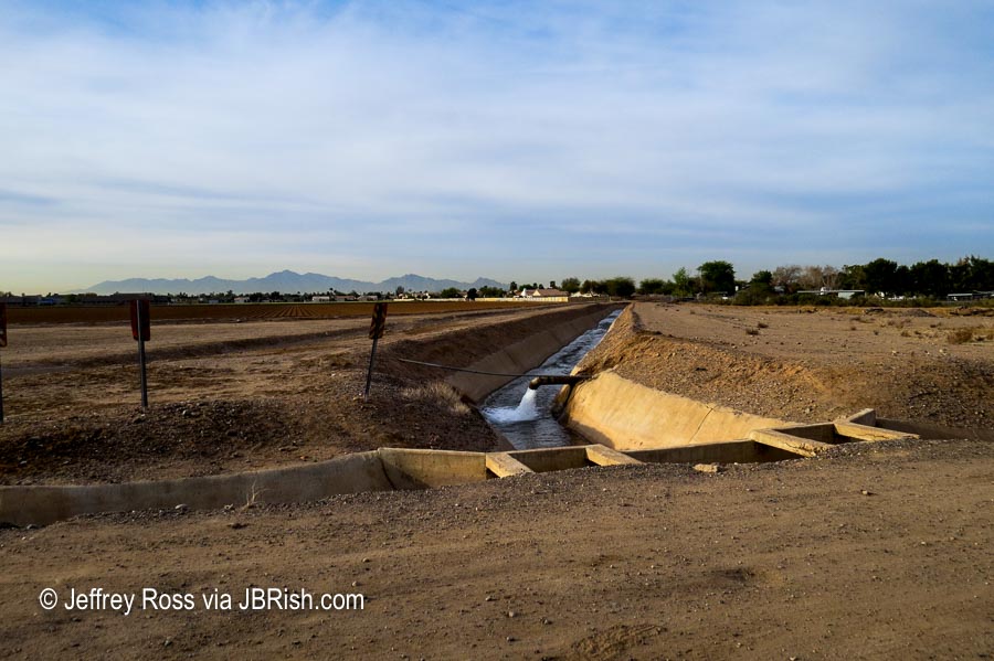
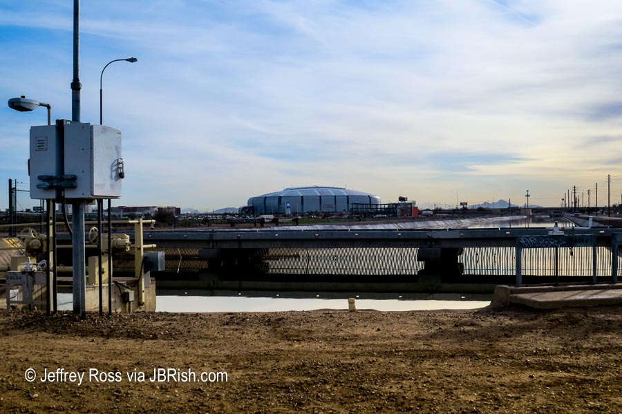
Right away we saw the discharge for which the ponds were named.


water being reclaimed

The facility is located west of and in a direct line with the University of Phoenix Stadium, home of the Arizona Cardinals football team.


University of Phoenix Stadium

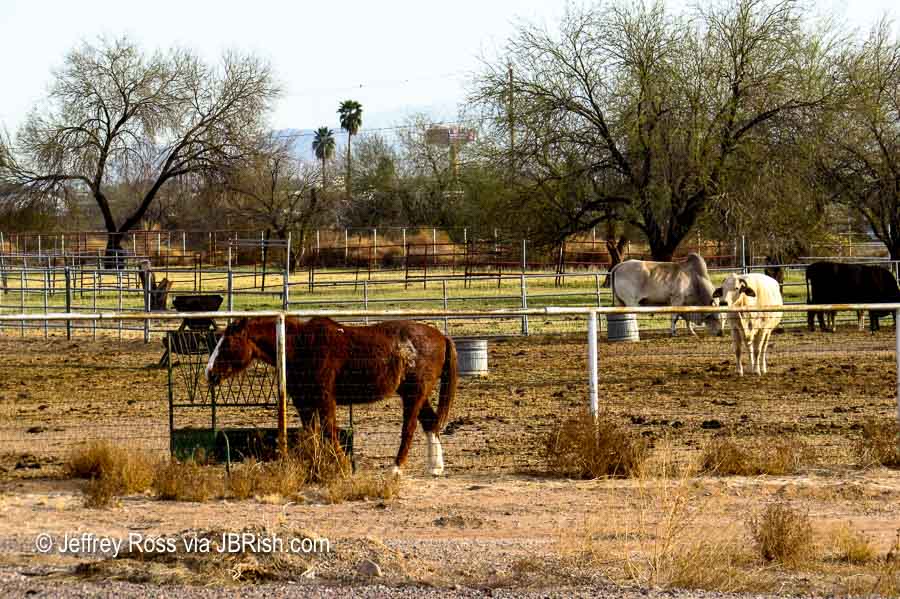
Along the access road leading to the ponds and along the sides of the waterways, there was a variety of farms and stables.


Small farms and ranches abut the ponds


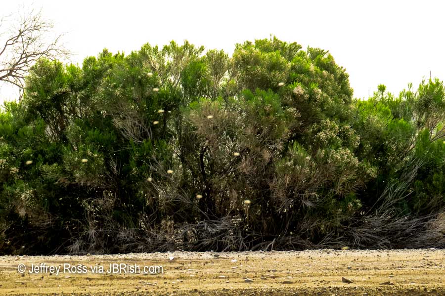
Very quickly we noticed something very, very annoying – – flies. Loads and loads of flies. Perhaps gnats would be more accurate! This might be very good for the birds, but not so pleasant for us.


Gnats were abundant and annoying

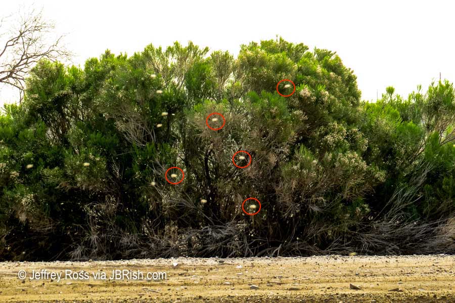
Can you see all those light brown specs in the picture above? Those are some of the flies that were flitting around as soon as we left the confines of our car. Let me circle (in red) a couple for you.


Gnats circled for reference
Only five were circled, but there were hundreds upon hundreds!

We traveled for about an hour to get to our destination so we were not be deterred. A move perhaps we would later regret.

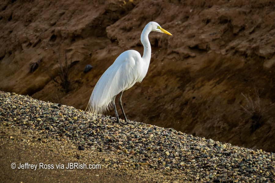
Only a few short steps along the pathways we saw what I identified as a Cattle Egret. If you look closely on the neck you can see flies on the bird. Other gnats are also clearly visible on the bird.


Gnats on the Egret

We hadn’t planned on most of the wildlife to be so far away. As we walked, the waterbirds swam to the far side of the large pond to seek safety and therefore escape our gaze. While I had three cameras with me, the only camera that was useful was the Canon SX50 HS with a large zoom lens.


As we walked, most birds fled
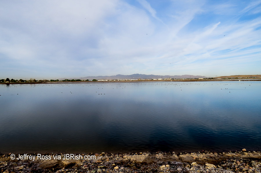
Those specks in the distance are numerous waterbirds

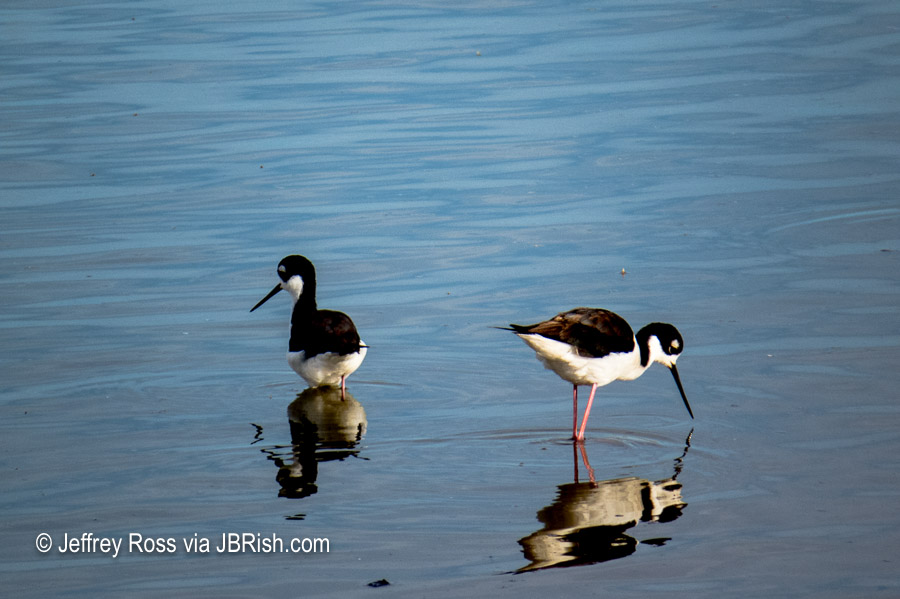
A more intrepid pair of birds, Black-necked Stilts, weren’t as quick to run away. They were busy searching the shallow depths for food. These are very interesting birds not only because of their somewhat whimsical black and white coloration…


Black-necked Stilts looking for food

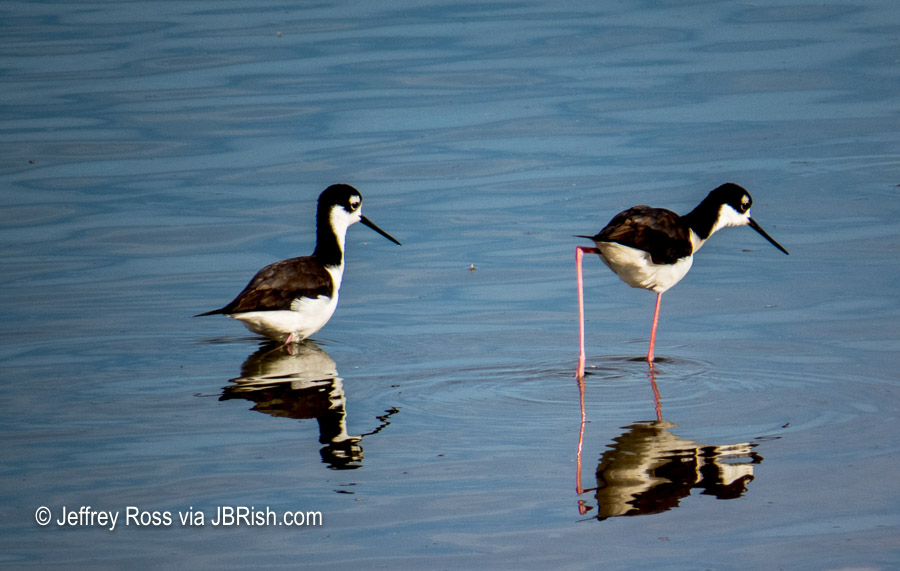
but because of their long legs! Now we know how they got their name!


Long legs of the Black-necked Stilts

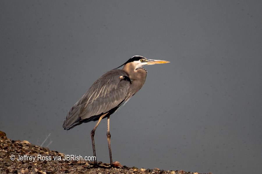
Lurking farther down the path and around the bend was an alert and somewhat wary Great Blue Heron.


A wary Great Blue Heron keeping an eye on us

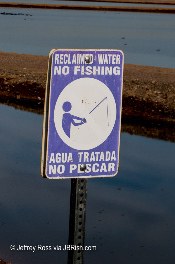
In several locations there were warnings about no fishing! I have since learned that people do fish there even with the signs posted.


No Fishing sign

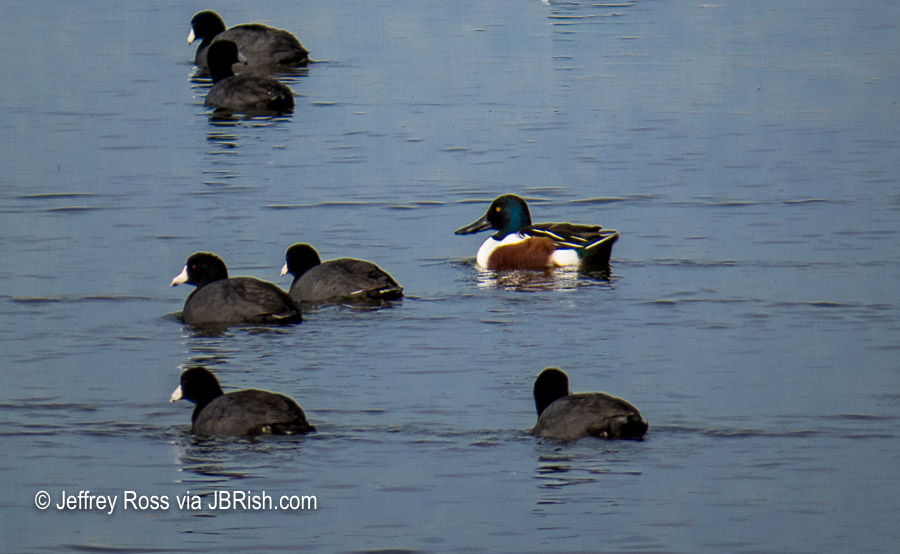
There were many, many Coots in the ponds, but also in the group were several other water birds. The male Northern Shoveler Duck was quite handsome.


Northern Shoveler Duck among the Coots

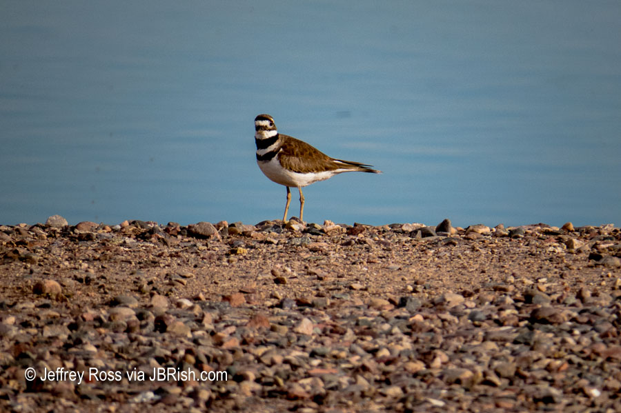
A Killdeer looked on with interest probably wondering what we were doing out-and-about with all these bugs in the air.


Watchfull Killdeer

To read the other JBRish posts about our Killdeer visitors:

Birds of Arizona – Killdeer ( Charadrius vociferus )

Killdeer Eggs in Our Yard; Oh My!

Killdeer’s Empty Nest in our Front Yard

For more information about the Killdeer’s rearing process, you can read The Precocious Killdeer.

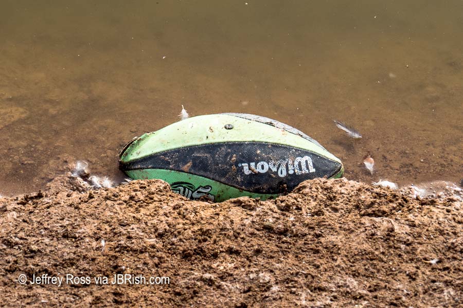
Unfortunately, wherever people go, there are bound to be traces that they were there. Whether intentional or not, we found a floating flip-flop and this football.


Floating lost football left behind at the ponds

Overall, however, there wasn’t too much debris. We continued to walk a while longer to complete the circuit around the one large pond nearest our car. We were becoming a bit uncomfortable trying to “chase down” the birds with all the bugs buzzing around.

Read Birds of Arizona: Glendale Recharge Ponds – Pt. 2

See previous JBRish posts about birds HERE


**********


All original content on this blog is copyrighted by Jeffrey B. Ross with ALL Rights Reserved. While reference links back to JBRish.com are appreciated and encouraged, please acquire approval for any reproduction of original content from this website.

©Jeffrey B. Ross – 2018


Hiking the Lime Kiln Trail – Cottonwood, AZ

One way we celebrate the winter season in the North Phoenix, AZ area is to take advantage of the wonderful weather that normally hovers in the 65-75 degree range. We also consult our list of potential hikes in other areas for those days that may also be unseasonably warm.

This situation arose recently when we learned that the afternoon temperatures in Cottonwood, AZ were going to be in the seventies. We had earmarked Dead Horse Ranch State Park, which is part of the Verde River Greenway, as a hiking destination.
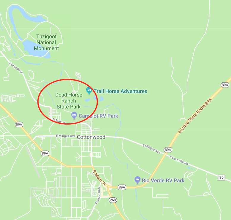

Map trails: Dead Horse Ranch State Park

The sign to the park is a bit ambiguous so if you are entering Cottonwood from the South, take the first right-hand turn right after the sign. It is a bit clearer coming from the other direction.

The one trail we had highlighted for our journey this day was the Lime Kiln Trail which seemed to be the most popular. The trail is used by horses and dirt bikers, but on this day it was lightly traveled and was not bothersome.

After a short walk up the trail, looking in a westerly direction, the surrounding mountains came into view.
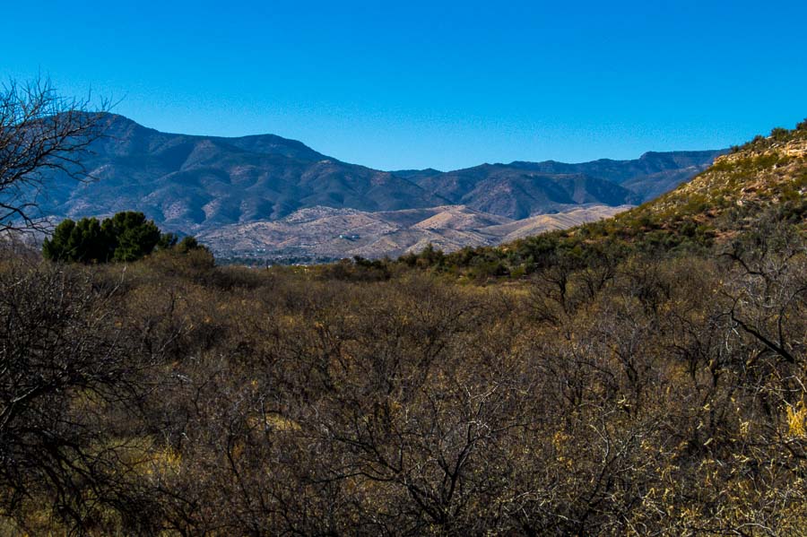

Surrounding Mountains Come into View

While the trail is an easy one, there were some mild ups and downs. The adjacent areas had some pretty hills with colorful reds and whites.
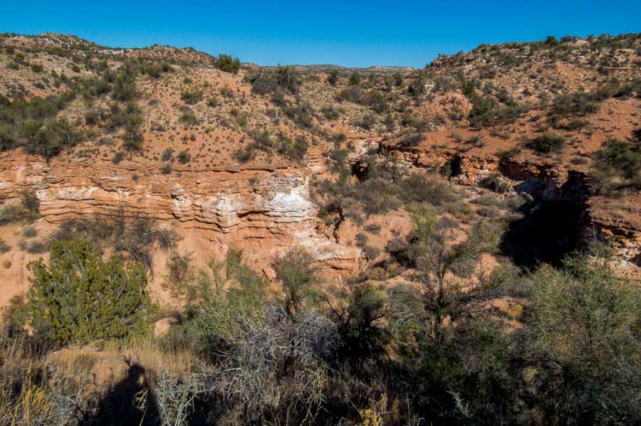
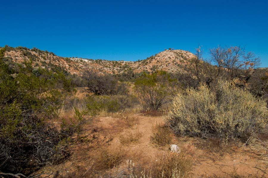
Lime Kiln Trail had mild ups and downs, but relatively easy


Lime Kiln Trail had mild ups and downs, but relatively easy

As you can see from the picture below, the trail is very clear and relatively clean. There was little, if any, boulder scrambling required.
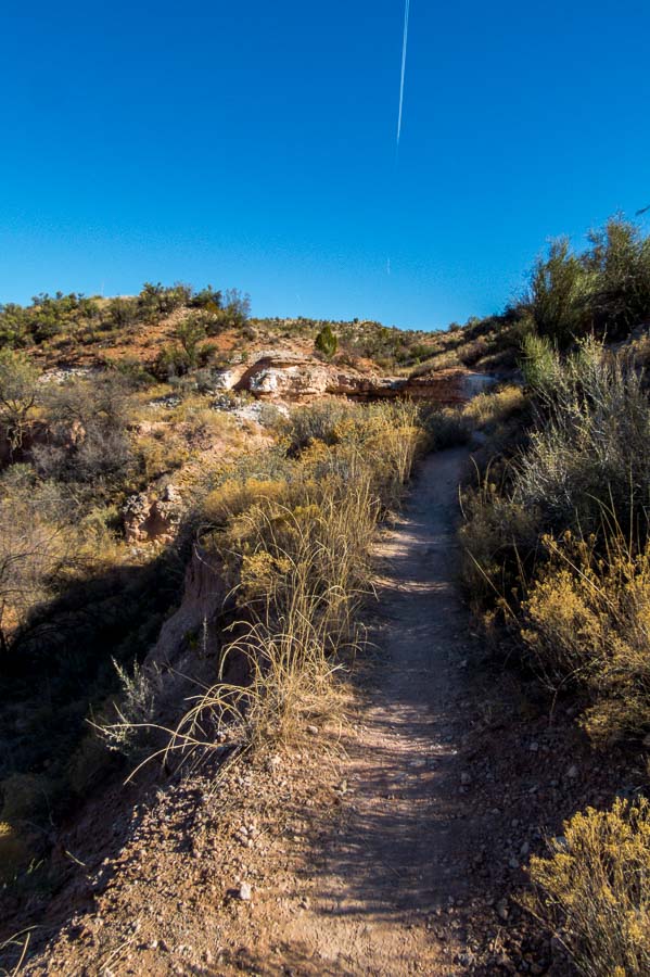

A representative trail section - level, clean and clear

As we gained some altitude, we could look back at the hills and see Jerome (yellow arrow), just to the right of center in this picture. Jerome would be a worthy stop after a hike with its unique stores and restaurants although there are certainly a number of interesting eateries in the “old town” section of Cottonwood which has undergone a Renaissance in recent years.
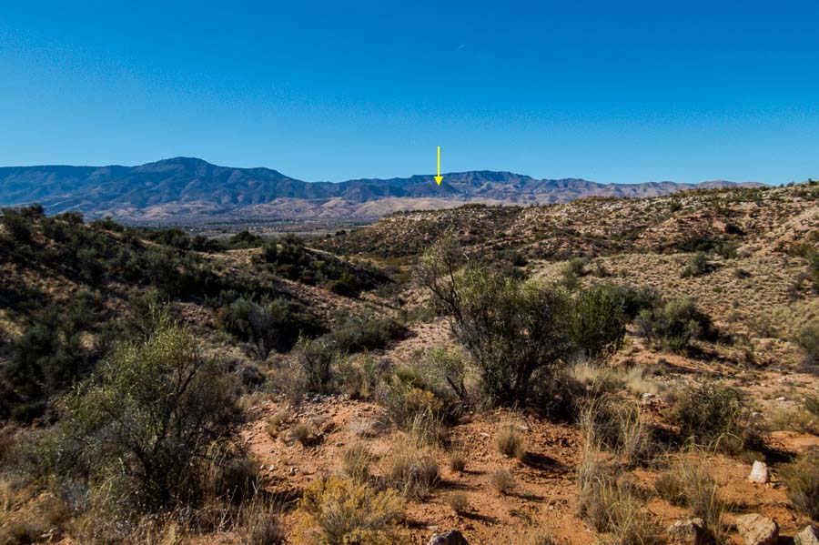

The City of Jerome nestled in the distant mountains

Some of the sections reminded us a bit of Sedona, with the red rock outcroppings.
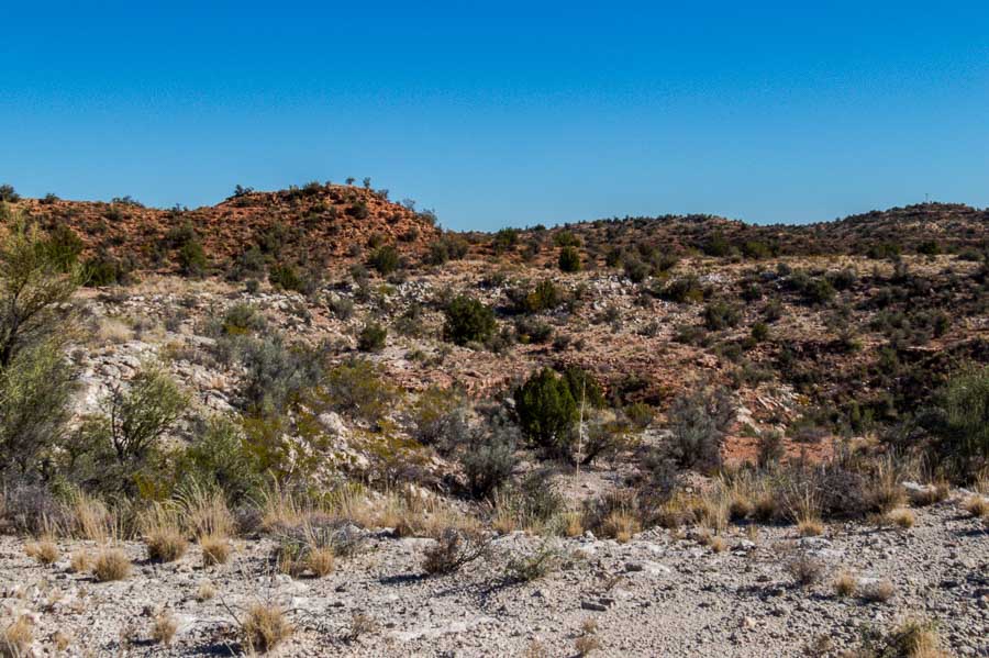

Some areas reminded us of Sedona's red rocks

As we hiked further upward, I stopped to look at the town of Cottonwood sprawled out below the park.
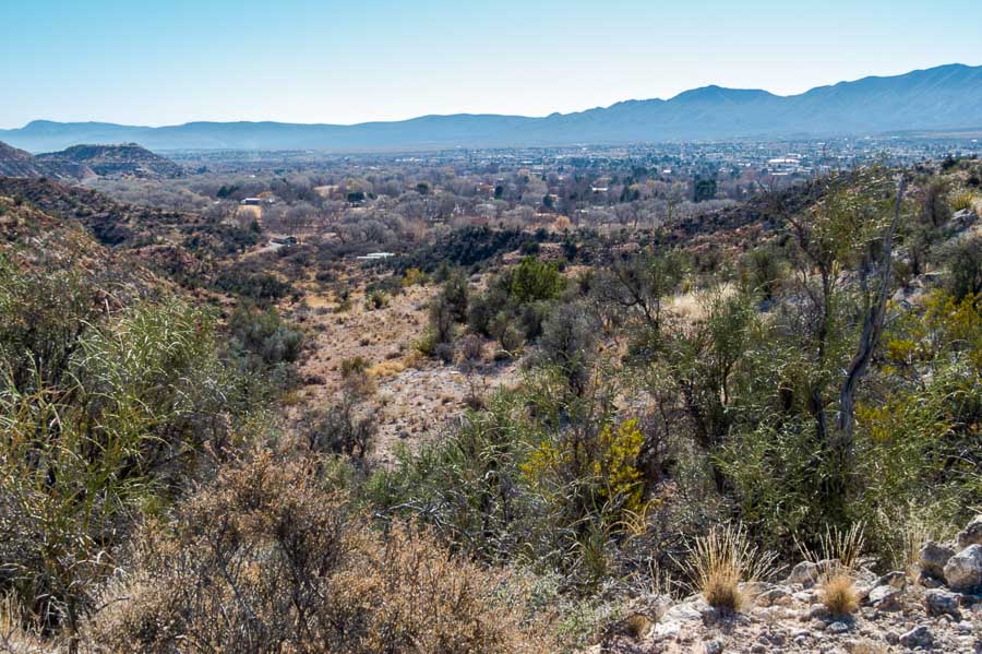

Cottonwood sprawled out below the mountains

This was one of the steepest inclines we encountered, but it was very short.
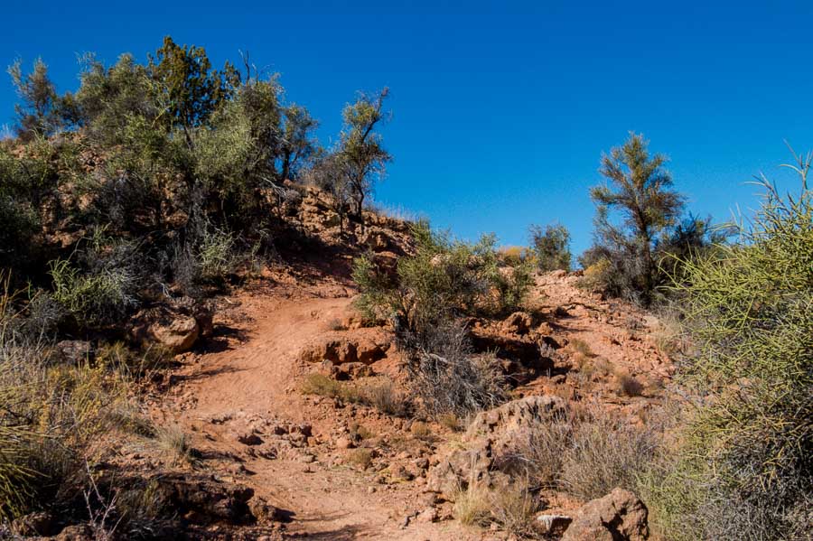

One of the steeper parts of the trail, but still not too difficult

A side section of the hill pictured above was used by more adventurous bikers who wanted some challenging terrain; notice rocks and rough spots.
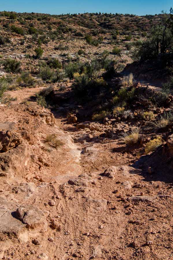

Alternate bike section that was more rough than the hiking trail

There are beautiful colors in the hills of Arizona even in the more northern areas during winter. The yellow creosote bush stands out in juxtaposition to the dormant plants, reddish earth and blue sky.
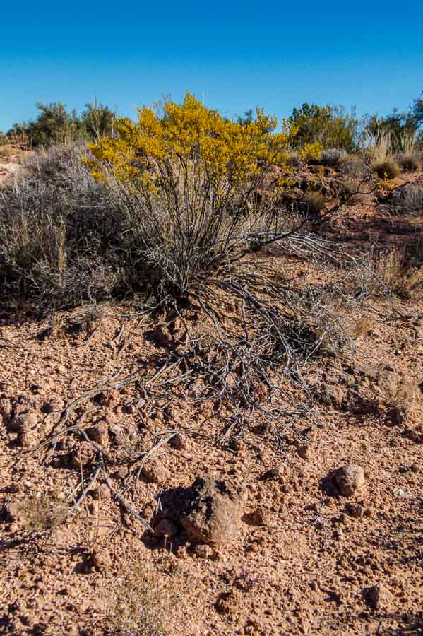

Beautiful colors even in winter

This is the desert version of driftwood. I appreciate the haphazard art created by nature’s random placement.
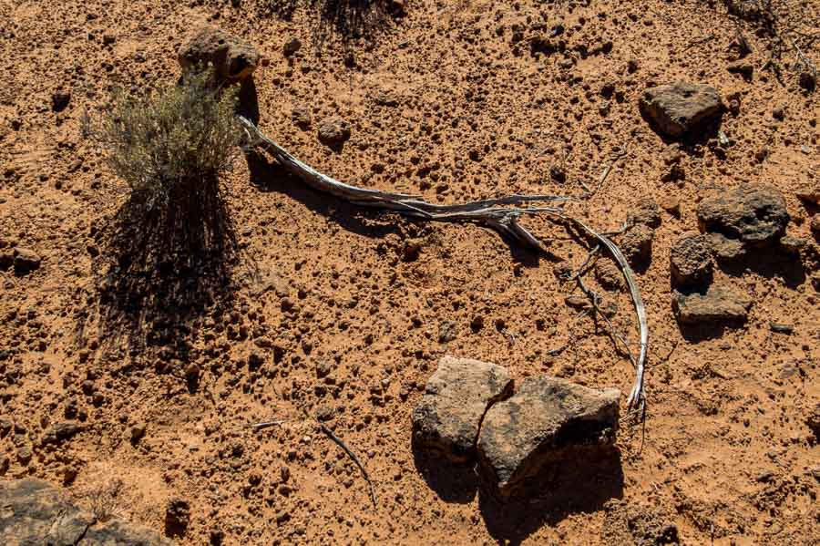

Nature's desert driftwood and abstract art

The park has a number of camping areas and with that comes the apparatus of civilization cutting through the wilderness.
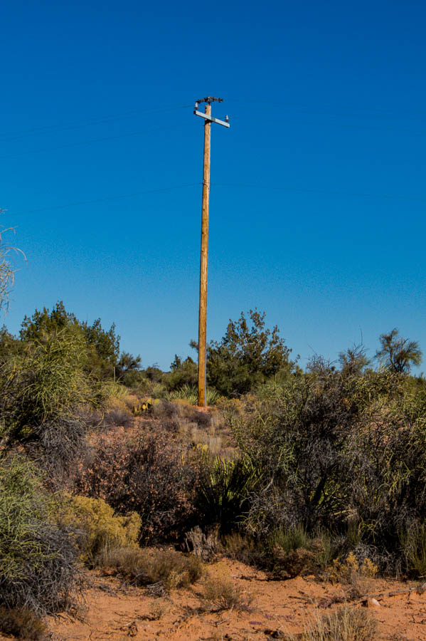

Power pole brings electricity to the park

While the trail map we had lacked some specifics, there were signs along the trail to serve as guides and help hikers find their way. We weren’t going to complete the entire trail on this day, but we did take a side jaunt to see the less than remarkable rattlesnake wash overlook. Perhaps in the spring, the foliage would provide a more scenic view.
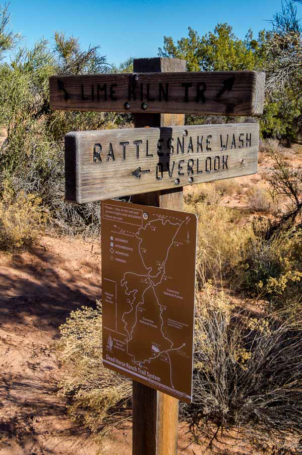
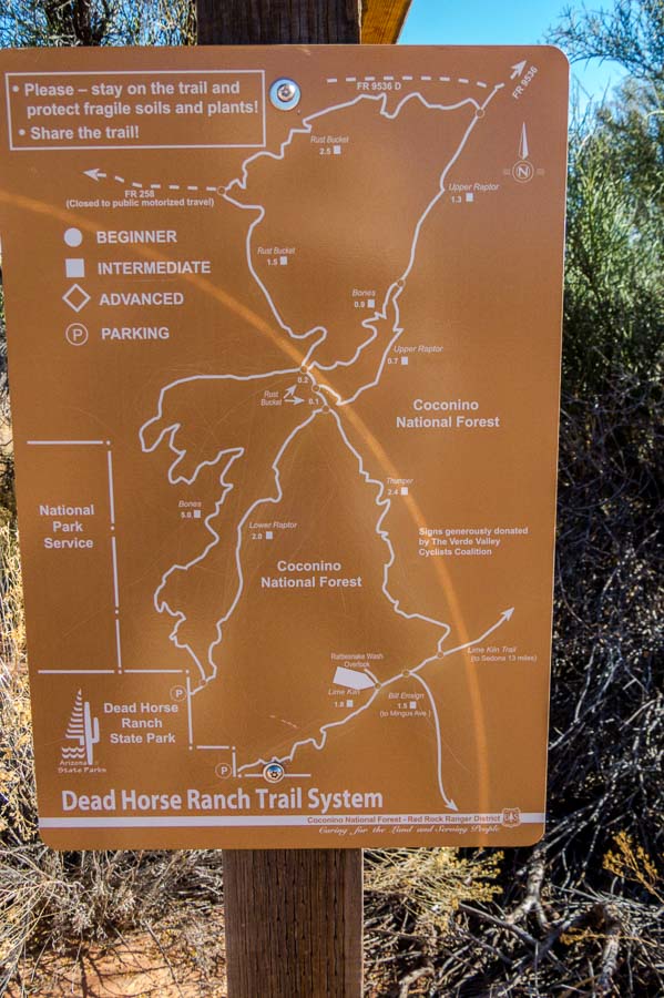
Trail signs: Rattlesnake Wash Overlook and Lime Kiln Trail


Park Trail sign with good markings

This was a rather straight stretch of the trail alongside a meadow; love the colors!
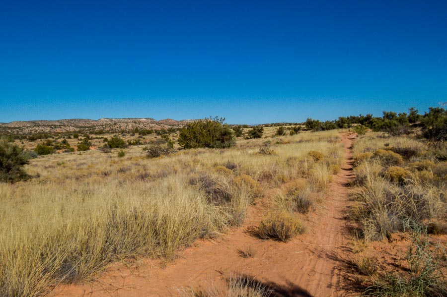

Another straight part of the trail along a meadow

Prickly pear cactus (Opuntias) are prevalent in the southwest and often grow in a tall candelabra type shape. This particular species was quite red and low growing. Perhaps the elevated and open location, with potentially more winds, kept it from growing upward. Spreading in a horizontal habit gives it an appearance of a caterpillar crawling across the ground.
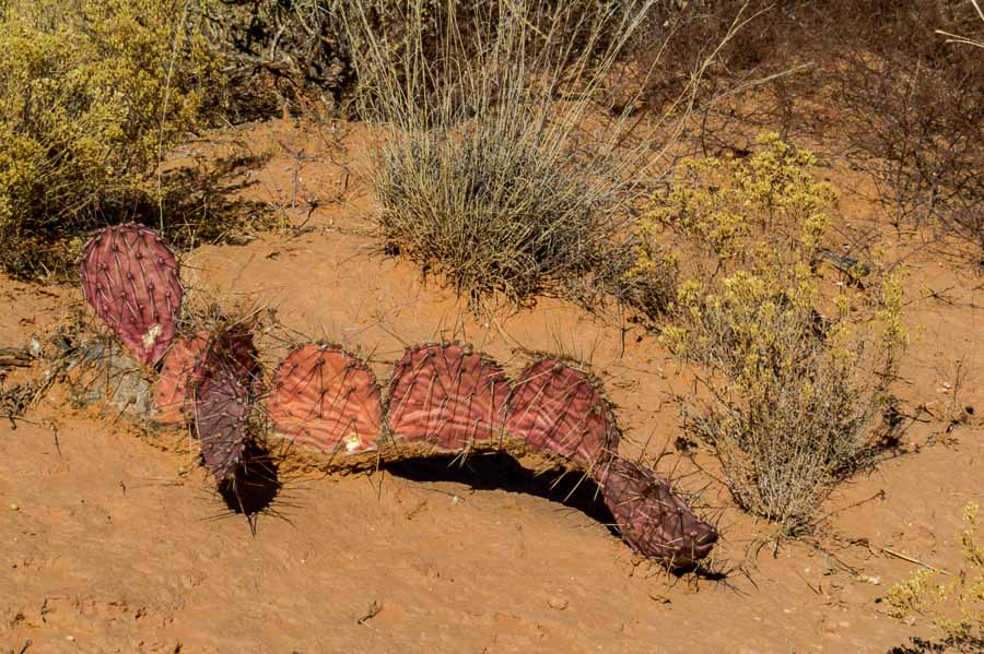

Red prickly pear cactus spreading across the terrain

Here’s another picture of the surrounding terrain and flora.
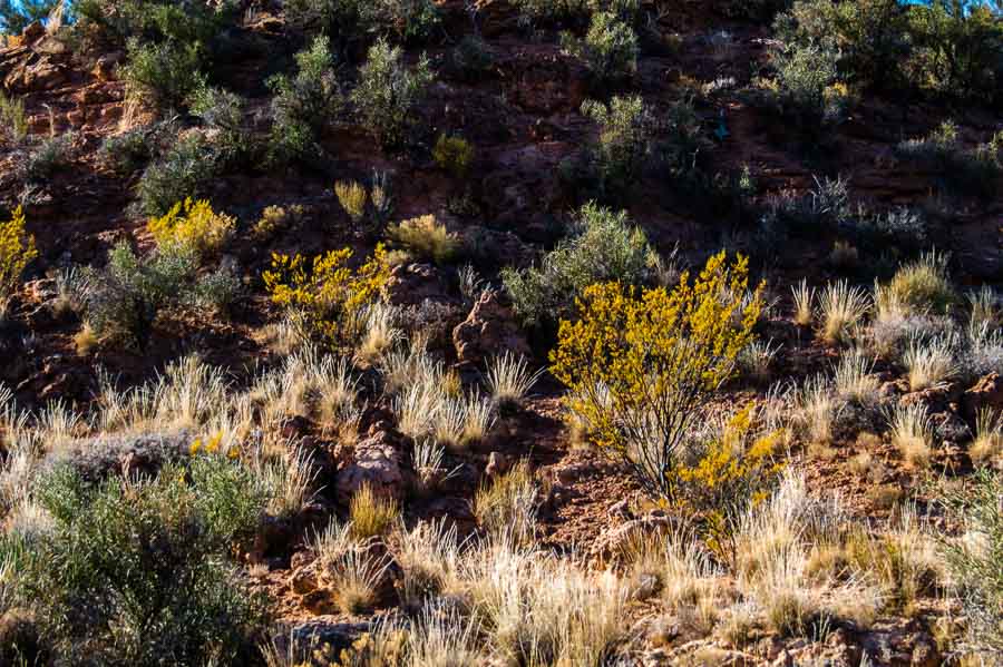

Another photo of the terrain and flora of the area

We didn’t notice it on the way up, but on the return trip there was a sign calling attention to the actual lime kiln.
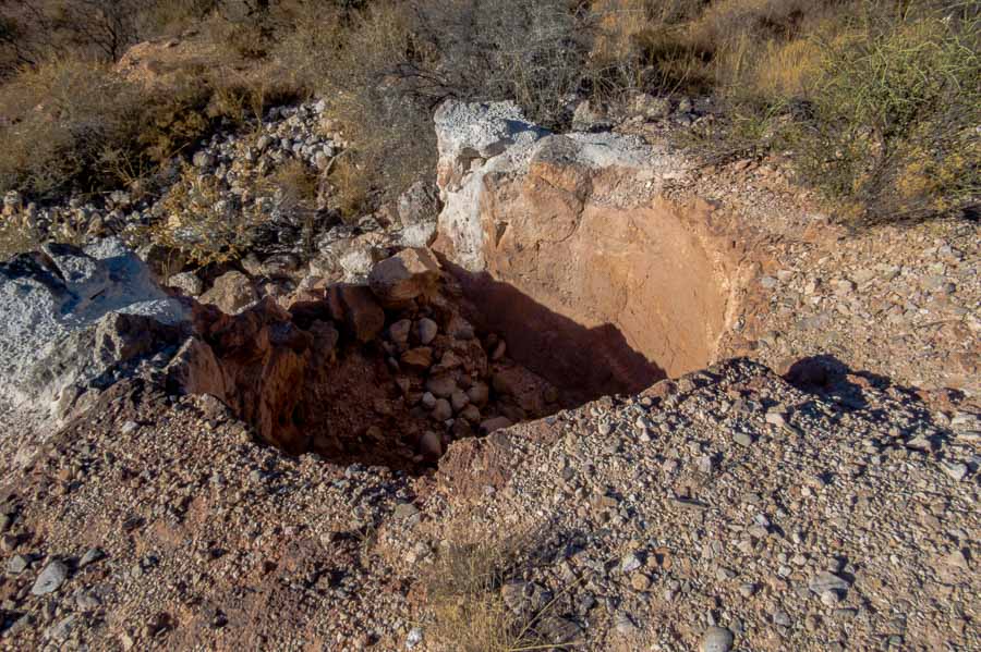

The actual lime kiln

Currently this is what the inside of the kiln contains…
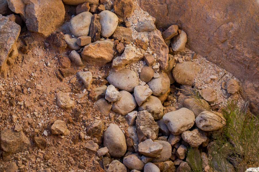

a close up of the current contents of the lime kiln

Here is what the kiln looks like from the trail.
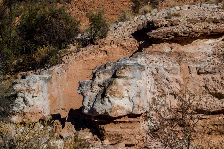

A view of the lime kiln from the trail

As we left the trail and headed for the parking lot, I stopped to take a picture of this stately tree which I am guessing is a cottonwood. The pipe to the right is a water flume draining water into a more natural catchment area.
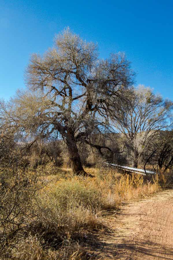

A stately cottonwood at the end/beginning of the trailhead

Although the car was only a few steps away, I noticed several groups of ducks in the lagoons which seemed to be popular fishing spots. I couldn’t resist trying to capture a few pictures for my American Birding Association checklist and picture archive. I had a decent picture of a coot, but not a good one so off I went.
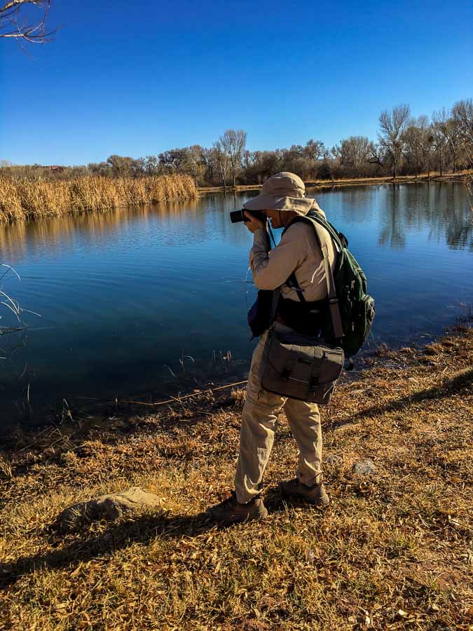

Jeff taking pictures of the ducks

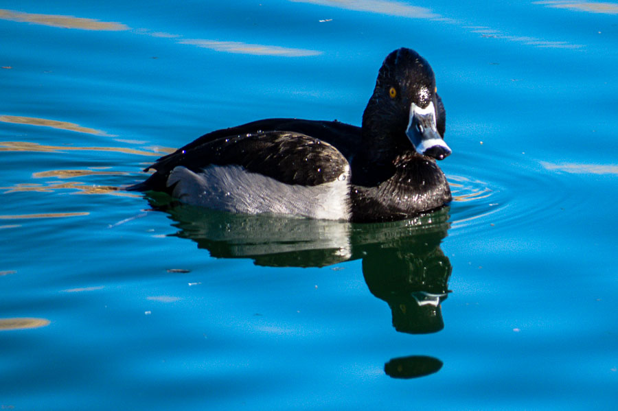
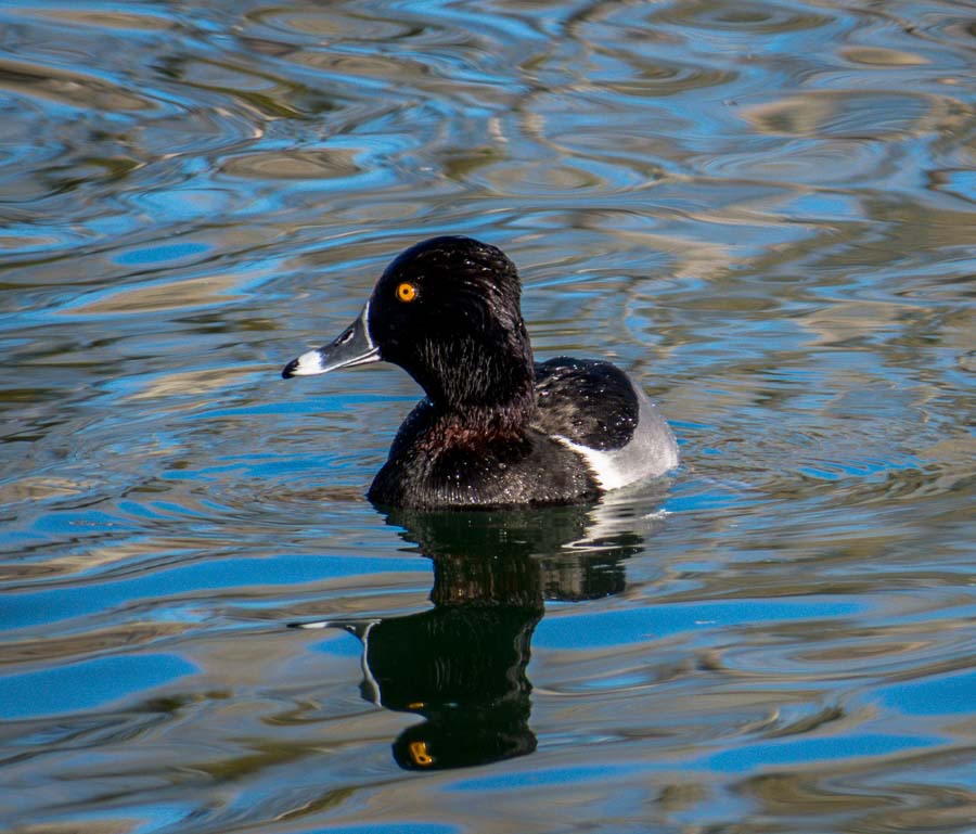
Not a coot, but a Ring-necked duck.


A handsome Ring-necked duck

Notice the bright orange eye!


A portrait of a Ring-necked duck with outstanding orange eye

Oh yes, there were some American Coots as well…
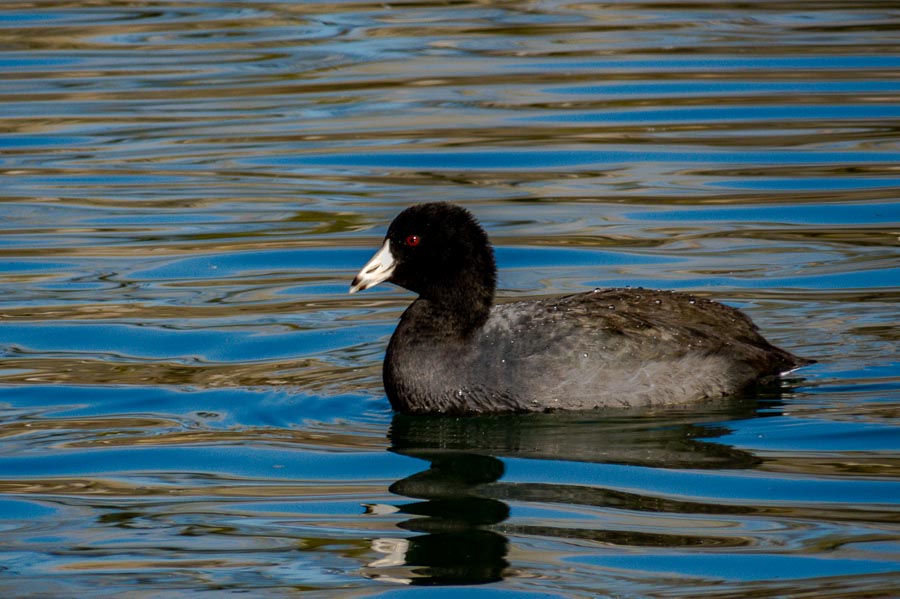

An American Coot


** NOTES ** The location of the Lime Kiln trailhead is not very well marked. If you park near the lagoon closest to the horse stables, the trailhead is to the left as you head in the direction of the stables. There is a trail stake to mark the beginning. After a short walk, you will need to cross a bridge which is where the water flume picture above will be located.

ARIZONA STATE PARKS & Dead Horse Ranch State Park

Facility Information – Dead Horse Ranch State Park

  • 675 Dead Horse Ranch Rd, Cottonwood, AZ 86326
  • Hours: 7AM – 6PM Daily
  • Amenities: Passenger vehicle parking. Restrooms
  • Length: 2.1+ miles
  • Elevation change: Mild (based on the first 2+ miles)
  • Difficulty: Easy/Moderate
  • Use: hiking, biking, picnic area, playground, fishing and horseback riding


Read more Hiking and Exploration posts HERE


**********


All original content on this blog is copyrighted by Jeffrey B. Ross with ALL Rights Reserved. While reference links back to JBRish.com are appreciated and encouraged, please acquire approval for any reproduction of original content from this website.
©Jeffrey B. Ross – 2018 – JBRish.com