Photography: My Shot – Canyonlands Wooden Shoe Arch

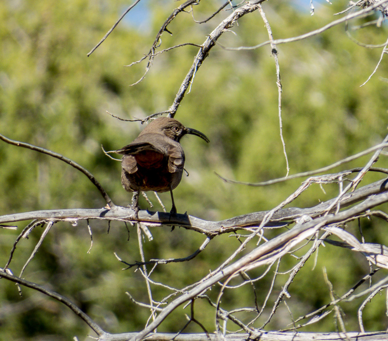
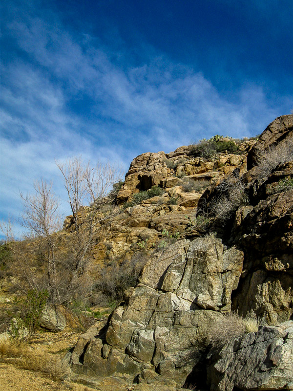
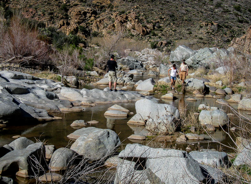
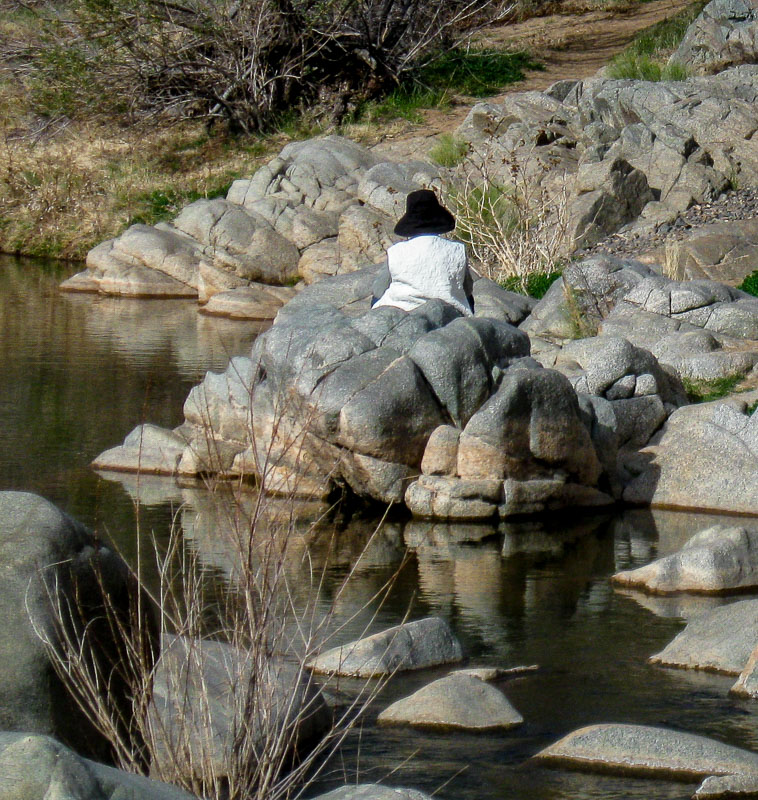
The southwest is truly a spectacular part of the United States. That is not to say other states, sections, etc. do not have beauiful areas as well, but the southwest has been blessed with an abundance natural wonders.

Utah, for example, has their Mighty Five:

  • Canyonlands National Park
  • Capitol Reef National Park
  • Arches National Park.
  • Bryce Canyon National Park
  • Zion National Park

I am glad to report that we have been to all of the above and we yearn to return to several of them to see more of what they have to offer. We hiked Zion two times and want to return at least once more. For those who love nature, hiking, etc. it is hard to overestimate the amount of wonder that can be found in all of the parks listed above.

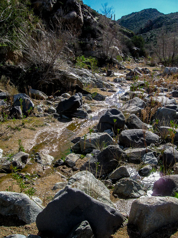
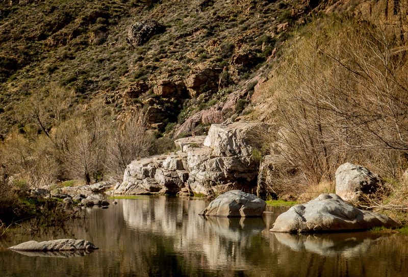
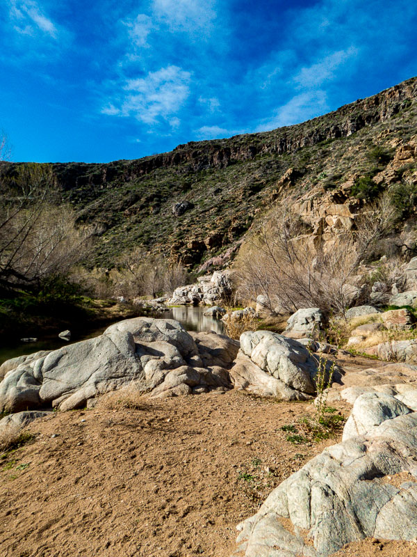
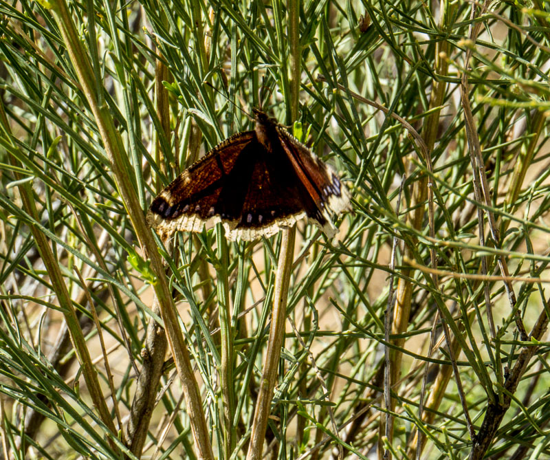
As a side trip to visiting Arches National Park, we took a day to go to Canyonlands National Park’s Needles District. The day was stormy with periods of rain, but as long as it is safe, we hike rain or shine.

One site we saw was the Wooden Shoe Arch. I only had my 8 MP Canon point-and-shoot, but as they say: “The best camera is the one you have with you.” I took the picture below and I think it captures the beauty of the area.


Stormy Canyonlands Wooden Shoe Arch

You may have to look carefully to see the “shoe.” It is the formation in the distance on the right. The heel and front of the shoe are separated by a space. The cloudy day makes it hard to discern so I put an arrow above the shoe in the picture below.


Stormy Canyonlands Wooden Shoe Arch

**********

Metadata

File Name: 8968_cl_woodenshoe_arch.JPG
Capture time: 3:02:01 PM
Capture date: September 11, 2012
Exposure: 1/200 sec @ f/5.5
Focal Length: 23.2mm
ISO: 200
Camera: Canon PowerShot AS590 IS
Lens: 4.3-215mm

Edited in Lightroom

**********

Read more photography posts HERE


**********


All original content on this blog is copyrighted by Jeffrey B. Ross with ALL Rights Reserved. While reference links back to JBRish.com are appreciated and encouraged, please acquire approval for any reproduction of original content from this website.

©Jeffrey B. Ross – 2017 – JBRish.com


Hiking the Peralta Trail, Gold Canyon, AZ – 20160626

NOTE – Keep in mind that we took this hike and these pictures represent the trail as we saw it in December, 2009. The trail may have changed a bit since them and some of the flora may no longer be exactly where we are reporting, but this is a good representation of things you may find along the way. Perhaps you will find even more intriguing highlights.

Of course the large rock formations and mountains will remain largely unchanged.


Another window in a rock formation

As we hiked further, we came across another window rock. This is what I enjoy about hiking; there are discoveries along the way most of the time.

Read more about the Peralta Trail HERE.

Previous posts and photographs in the Peralta Trail series in chronological order:


**********


JBRish.com originally published this post
*All photographs Copyright by Jeffrey B. Ross with all rights reserved.

Hiking the Peralta Trail, Gold Canyon, AZ – 20160624

NOTE – Keep in mind that we took this hike and these pictures represent the trail as we saw it in December, 2009. The trail may have changed a bit since them and some of the flora may no longer be exactly where we are reporting, but this is a good representation of things you may find along the way. Perhaps you will find even more intriguing highlights.

Of course the large rock formations and mountains will remain largely unchanged.


Large rock formation along the Peralta Trail
As we ascended the trail, we passed this intricate rock formation

This rock formation reminds me a bit of a human riding an animal. Imagine the person closest to the left side of the frame seen from the back sitting upright. The lower rocks “create” the representation of the animal which appears to be moving away from the viewer.

The scope of the formation can be gauged when compared in size to the surrounding saguaros. Generally speaking, saguaros don’t start to grow additional arms until after they are forty or fifty years old.

Read more about the Peralta Trail HERE.

Previous posts and photographs in the Peralta Trail series in chronological order:


**********


JBRish.com originally published this post
*All photographs Copyright by Jeffrey B. Ross with all rights reserved.

Year of Yosemite (YOY) – Day 79 (A Duck Rock Formation)

Duck rock formationThis rock formation on the way to Taft Point across from large fissures reminded me of a duck.

I am always saddened to hear stories of vandalism in our national parks and similar settings. Of course it is wrong at any time, but the wounds seem much deeper when they occur in such a beautiful area put aside for all to appreciate.

The recent destruction of the sandstone formation known as Duckbill Rock or Thor’s Fist on the Oregon Coast at Kape Kiwanda was one such incident. To pay homage to our now lost icon, I offer the above picture of a rock formation that appears duck-like. It doesn’t replace what was destroyed, but can remind us that we need to treasure the resources we have.

 
Do you have a question about our visit to Yosemite? Ask it in the comment section.


JBRish.com originally published this post
*All photographs Copyright by Jeffrey B. Ross with all rights reserved.

 
See previous Year of Yosemite (YOY) posts HERE. If you want to read the introduction to the YOY series, CLICK HERE.

***********************************
Meta Data – Day 79 YOY – Year of Yosemite

File Name: 0387.CR2
Capture time: 2:04:48 PM
Capture date: June 9, 2016
Exposure: 1/400 sec @ f/8.
Focal Length: 110mm
ISO 120
Canon SX50 HS


Year of Yosemite (YOY) – Day 12

Rock spires near Cathedral Rock

There were numerous spires to be viewed near Cathedral Rock

There are so many rock formations at Yosemite and they all seem to have names. While we couldn’t single out all of them, the spires (as they are known) certainly add a beauty of their own. This shot of the spires just past the tree line with the gold and green meadow in front was captivating.

 
Do you have a question about our visit to Yosemite? Ask it in the comment section.


JBRish.com originally published this post
*All photographs Copyright by Jeffrey B. Ross with all rights reserved.

 
See previous Year of Yosemite (YOY) posts HERE. If you want to read the introduction to the YOY series, CLICK HERE.

***********************************

Meta Data – Day 12 YOY – Year of Yosemite

File Name: 00326.NEF
Capture time: 2:06:41 PM
Capture date: June 8, 2016
Exposure: 1/125 sec @ f/18
Focal Length: 34mm
ISO 200
Nikon D3300

A Hike in the Agua Fria National Monument – Valentine’s Day

This may not sound like a very romantic Valentine’s Day, but for my wife and me, it was exactly the type of day we like. We took a hike in the Agua Fria National Monument in Arizona near Cordes Lakes just 40 miles or so North of Phoenix.

Agua Fria Nat'l Monumnet Sign

The area is a diverse riparian habitat which has been described as a “perennial river” meaning that there is water flowing in the area nearly all year long even though it is a semi-desert grassland.

This is what the trail looks like at the start. It hadn’t rained in a number of days so the river bed was dry and rocky.

Beginning of the Sandy Trail

As you can see many other people have been on this trail which follows the river bed and can be quite wet at times so be prepared. There are higher trails alongside most of the riverbed that can offer some drier terrain along parts of the hike if needed.

Many footprints in the sand

This was a perfect day for hiking. The weather was cool and the sky was clear and beautiful.

Boulders and vegetation appear in the river bed

This is a noted birding environment and while we saw some cardinals and a phainopepla, this curve-billed thrasher was the only picture I was able to take of the avian denizens on this day. While this isn’t the most flattering side of the bird, it does show how it got its name.

Profile of a cruve-billed thrasher

Along this stretch the stream was more pronounced.

The stream begins to run more abundantly

After hiking a bit in an easterly direction, the stream bed opens up to a river area which is more north and south in orientation. The boulders and hills form a picturesque setting even when the foliage of the landscape is not full.

picturesque area where the river is quite substantial as well as the boulder fields

Canyon walls and boulders along the banks

The nearby cliffs create a canyon wall on one side.

Cliffs around the the river bed

Detail of cliffs

On the cliff pictured above, we found this artifact which was probably used to support a cable or pipe of some sort.

An artifact of sorts for able or pipe

After continuing past this point we had to scramble across the boulder fields to continue to seek the path which would appear from amid the rocks at intervals.

More river and boulders of the Agua Fria

One challenge was finding a way to cross the river. People would seek their own “stepping stone” path hoping to make it to the other side.

Crossing the Agua Fria via boulders

While crossing the rocky terrain there would be fast running areas where the rocks would create eddys or small waterfalls.

waterfalls and eddys

Some of the literature notes that on warm summer days, pools will form where people can take a dip in the shallow water held by the circles of rocks.

Pools form amid the boulders

There was a group of hikers making their way into the canyon on this pleasant hiking day.

hiking group along the trail

Other visitors took time to sit and enjoy the tranquil setting.

Woman resting on a large section or rocks

Generally speaking, saguaro cactus do not grow in this area primarily because of the elevation, but this somewhat protected environment was well-enough suited for some to grow on the south-facing hillside.

Saguaros along the top of the cliff; unusual for this area

A number of rocks had curious patterns which I am sure geologists would be able to explain and perhaps find even more interesting than I did.

Darker gray pattern cover the rock

Butteflies were making their first forays into the field and here we see a slightly tattered Mourning Cloak (Nymphalis antiopa) upside down most likely looking for a place to lay some eggs.

Mourning Cloak Butterfly

Here is another picture with the wings slightly closed, but in a more appropriate and customary orientation.

Mourning Cloak Butterfly

The unusually warm days were probably responsible for this Ashen Milkvetch (Astragalus Tephrodes) to put forth its floral display. I like the detailed leaf formation of this particular plant.

Ashen Milkvetch plant with interesting leaf pattern

It was time to head home after a super hike!

Click HERE for more information about the Agua Fria


JBRish.com originally published this post

 
See more JBRish hiking posts here HERE