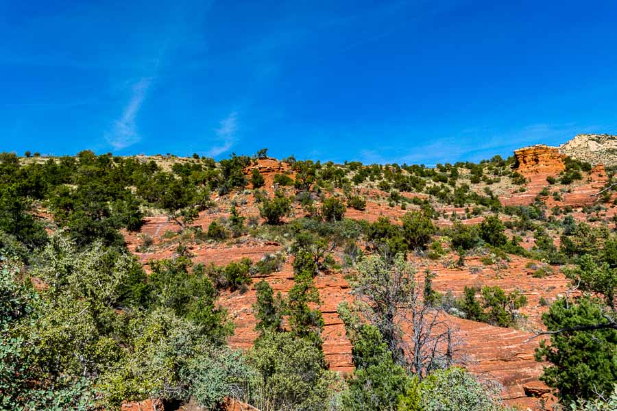
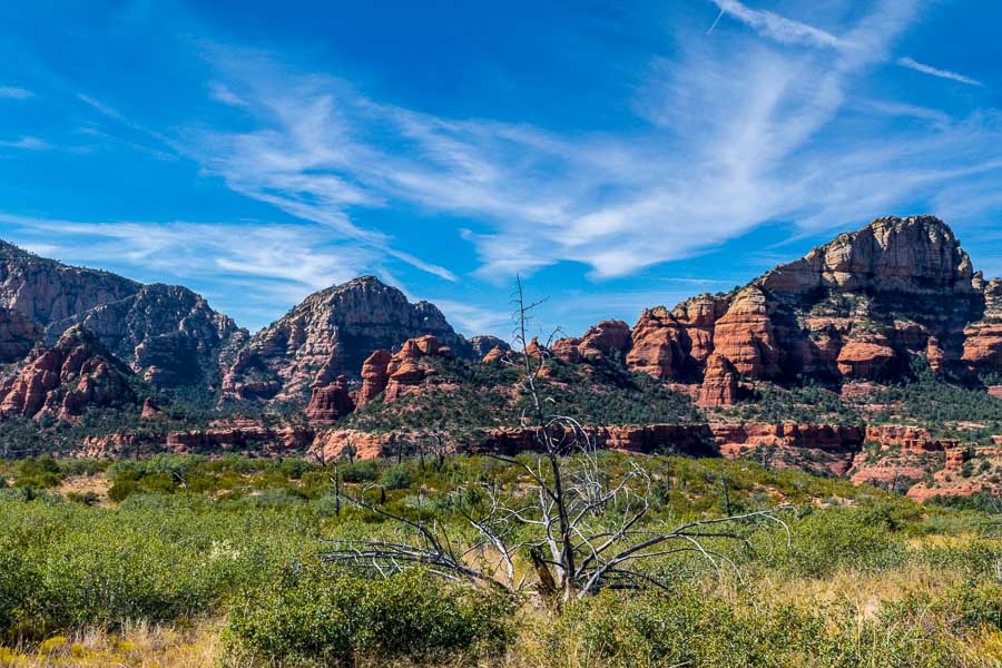
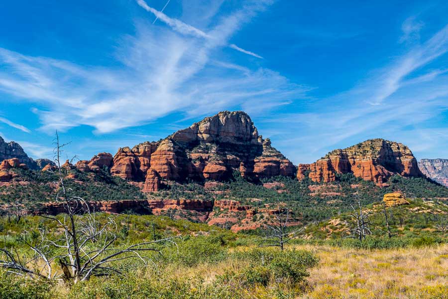
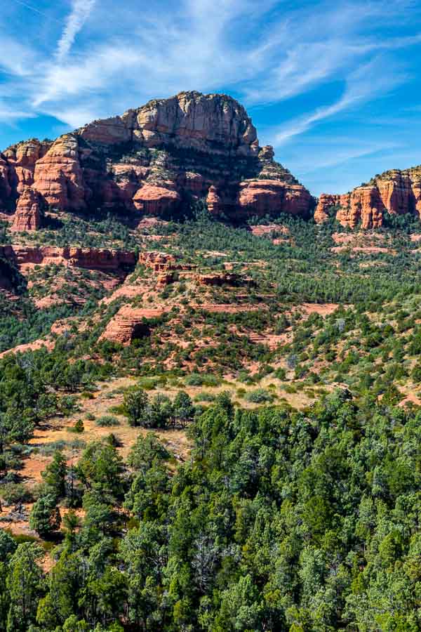
Hiking the Lime Kiln Trail – Cottonwood, AZ

One way we celebrate the winter season in the North Phoenix, AZ area is to take advantage of the wonderful weather that normally hovers in the 65-75 degree range. We also consult our list of potential hikes in other areas for those days that may also be unseasonably warm.

This situation arose recently when we learned that the afternoon temperatures in Cottonwood, AZ were going to be in the seventies. We had earmarked Dead Horse Ranch State Park, which is part of the Verde River Greenway, as a hiking destination.
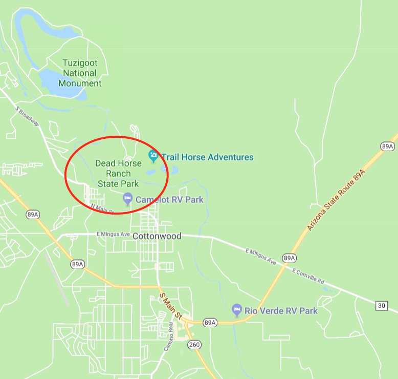

Map trails: Dead Horse Ranch State Park

The sign to the park is a bit ambiguous so if you are entering Cottonwood from the South, take the first right-hand turn right after the sign. It is a bit clearer coming from the other direction.

The one trail we had highlighted for our journey this day was the Lime Kiln Trail which seemed to be the most popular. The trail is used by horses and dirt bikers, but on this day it was lightly traveled and was not bothersome.

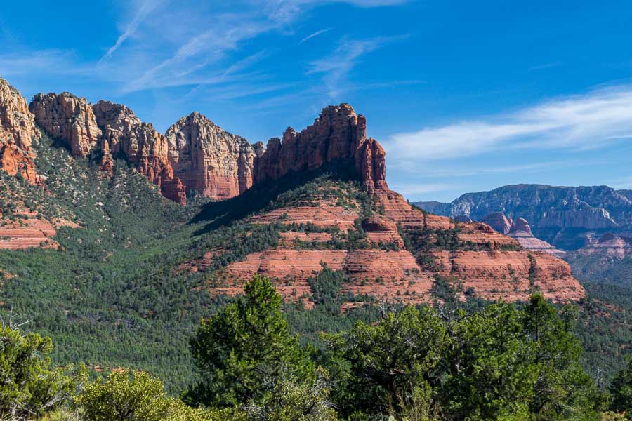
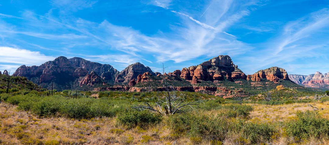
After a short walk up the trail, looking in a westerly direction, the surrounding mountains came into view.
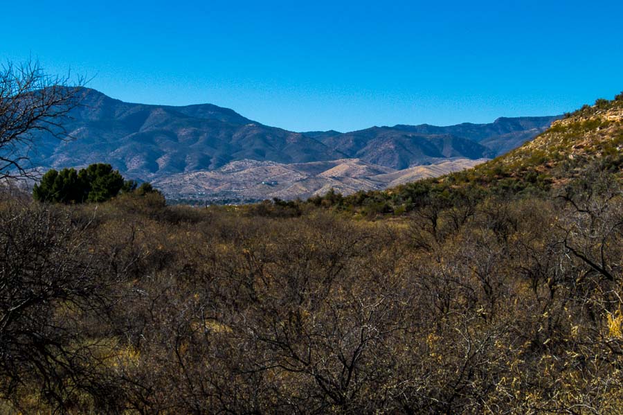

Surrounding Mountains Come into View

While the trail is an easy one, there were some mild ups and downs. The adjacent areas had some pretty hills with colorful reds and whites.
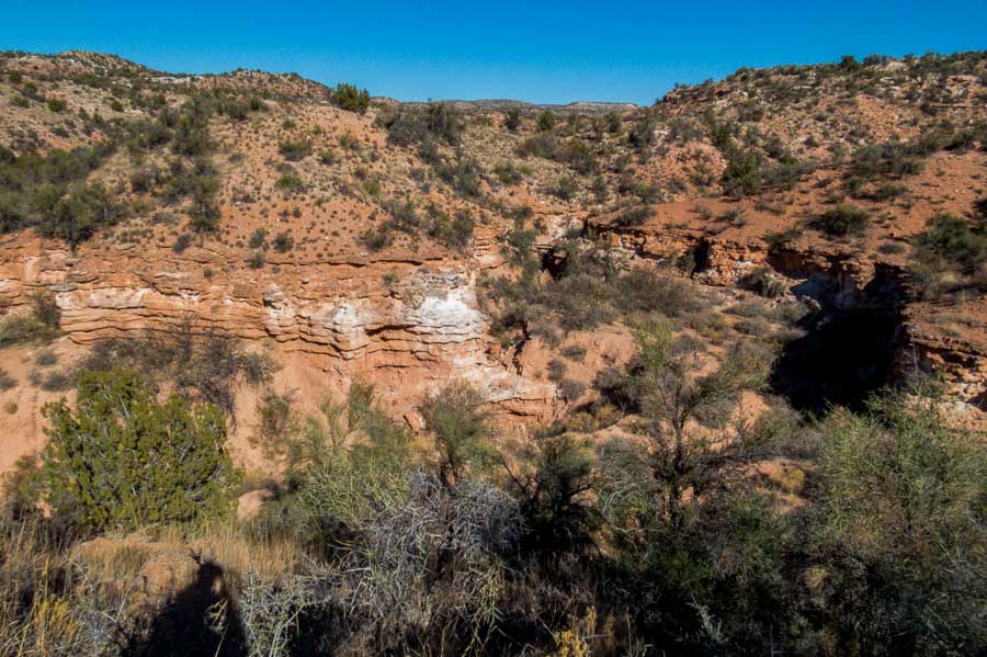
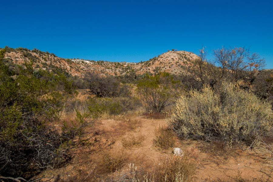
Lime Kiln Trail had mild ups and downs, but relatively easy


Lime Kiln Trail had mild ups and downs, but relatively easy

As you can see from the picture below, the trail is very clear and relatively clean. There was little, if any, boulder scrambling required.
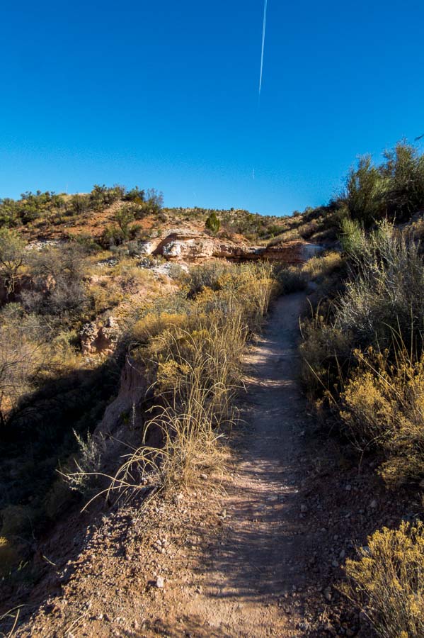

A representative trail section - level, clean and clear

As we gained some altitude, we could look back at the hills and see Jerome (yellow arrow), just to the right of center in this picture. Jerome would be a worthy stop after a hike with its unique stores and restaurants although there are certainly a number of interesting eateries in the “old town” section of Cottonwood which has undergone a Renaissance in recent years.
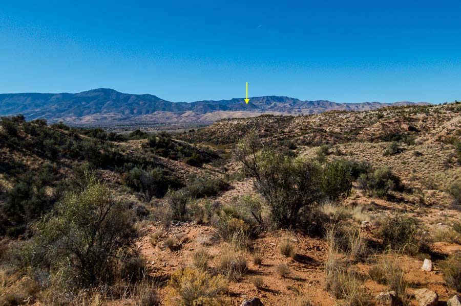

The City of Jerome nestled in the distant mountains

Some of the sections reminded us a bit of Sedona, with the red rock outcroppings.
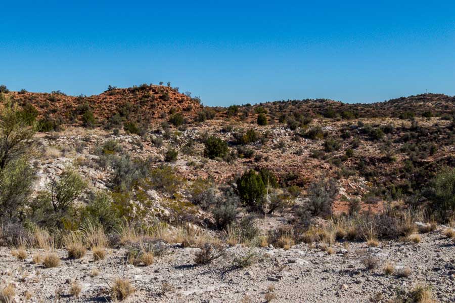

Some areas reminded us of Sedona's red rocks

As we hiked further upward, I stopped to look at the town of Cottonwood sprawled out below the park.
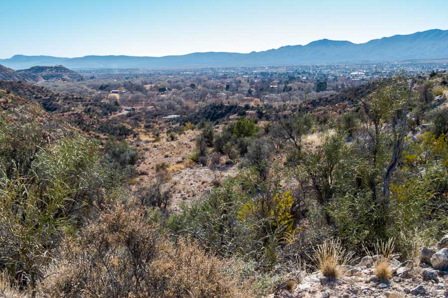

Cottonwood sprawled out below the mountains

This was one of the steepest inclines we encountered, but it was very short.
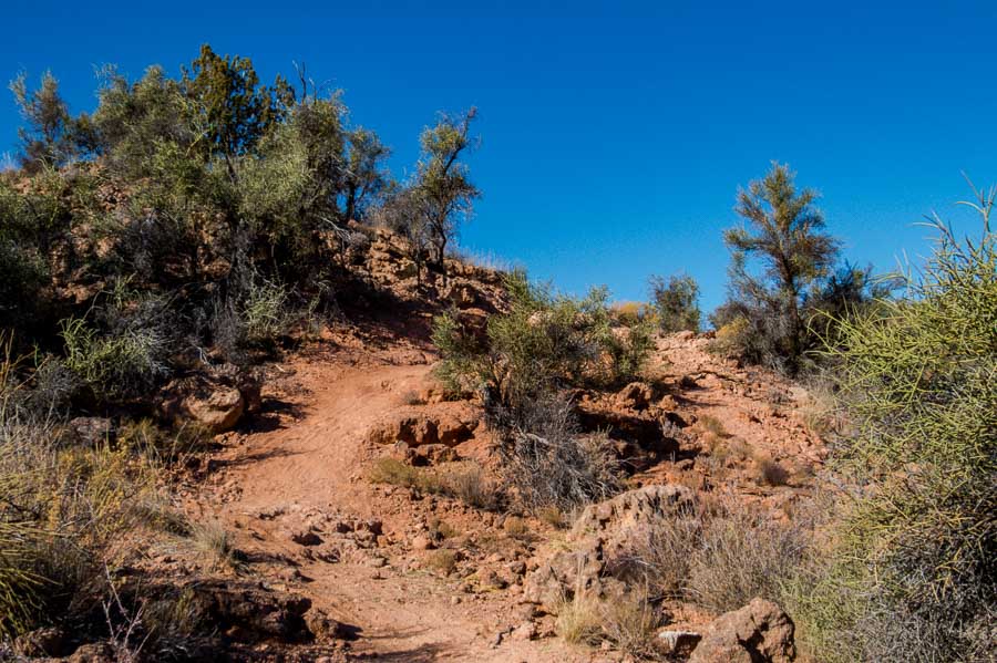

One of the steeper parts of the trail, but still not too difficult

A side section of the hill pictured above was used by more adventurous bikers who wanted some challenging terrain; notice rocks and rough spots.
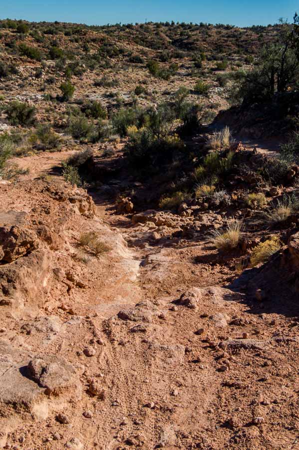

Alternate bike section that was more rough than the hiking trail

There are beautiful colors in the hills of Arizona even in the more northern areas during winter. The yellow creosote bush stands out in juxtaposition to the dormant plants, reddish earth and blue sky.
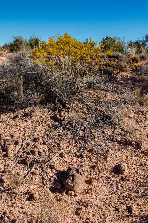

Beautiful colors even in winter

This is the desert version of driftwood. I appreciate the haphazard art created by nature’s random placement.
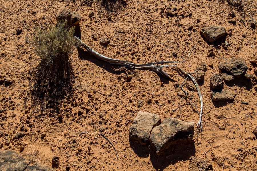

Nature's desert driftwood and abstract art

The park has a number of camping areas and with that comes the apparatus of civilization cutting through the wilderness.
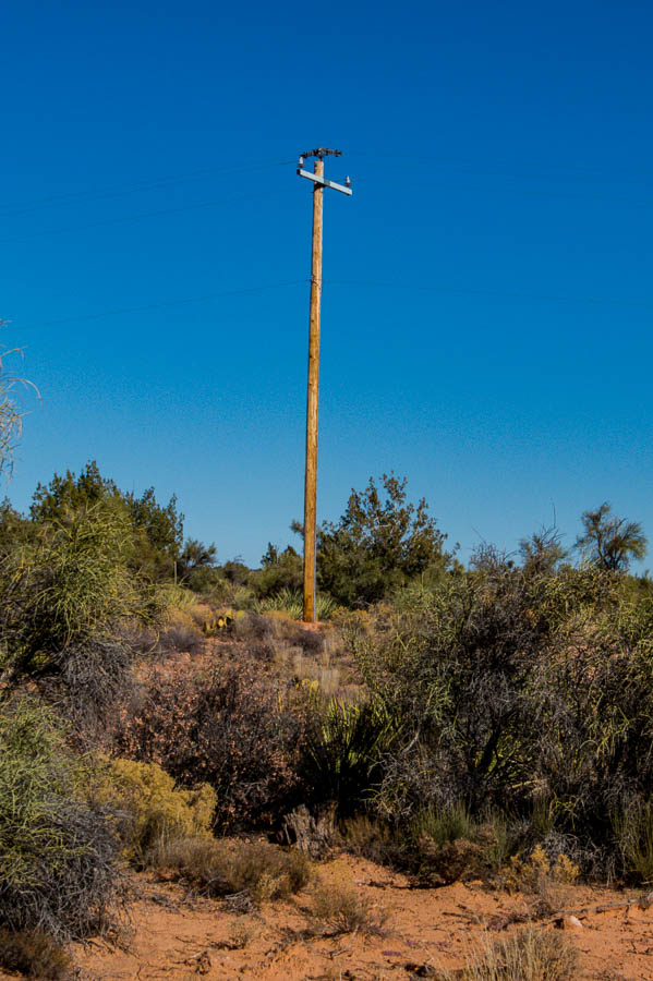

Power pole brings electricity to the park

While the trail map we had lacked some specifics, there were signs along the trail to serve as guides and help hikers find their way. We weren’t going to complete the entire trail on this day, but we did take a side jaunt to see the less than remarkable rattlesnake wash overlook. Perhaps in the spring, the foliage would provide a more scenic view.
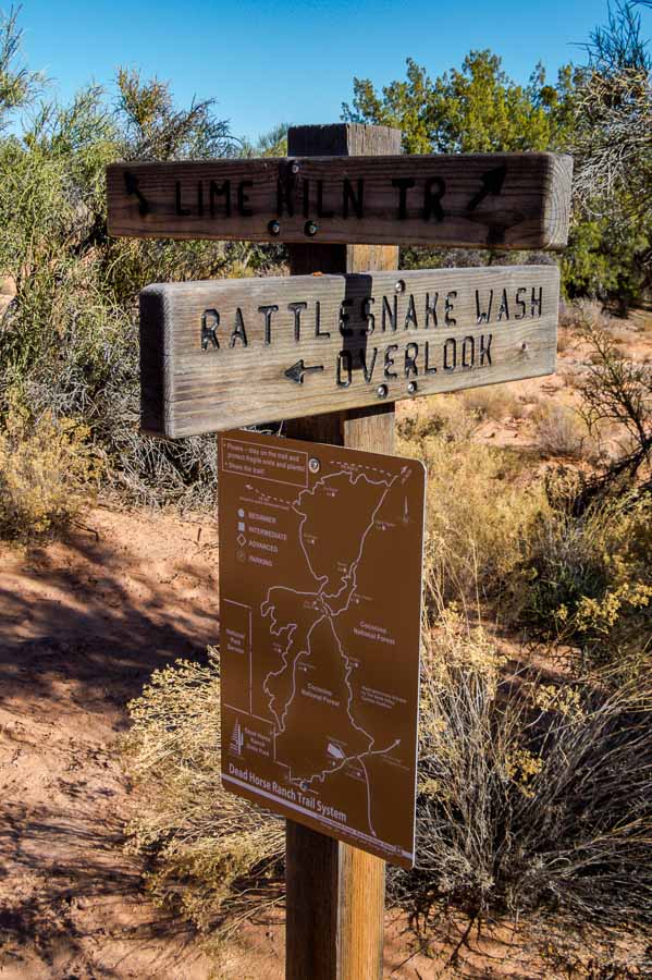
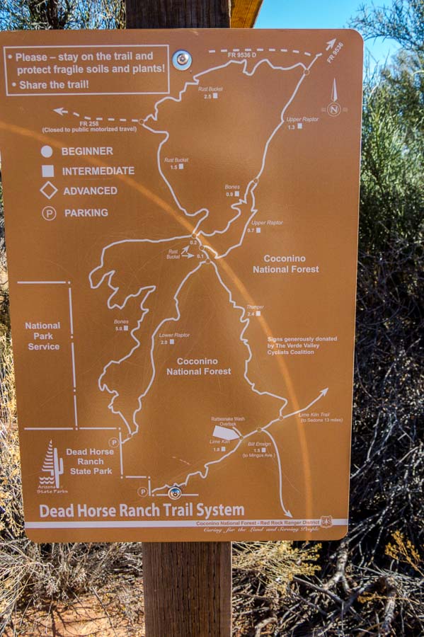
Trail signs: Rattlesnake Wash Overlook and Lime Kiln Trail


Park Trail sign with good markings

This was a rather straight stretch of the trail alongside a meadow; love the colors!
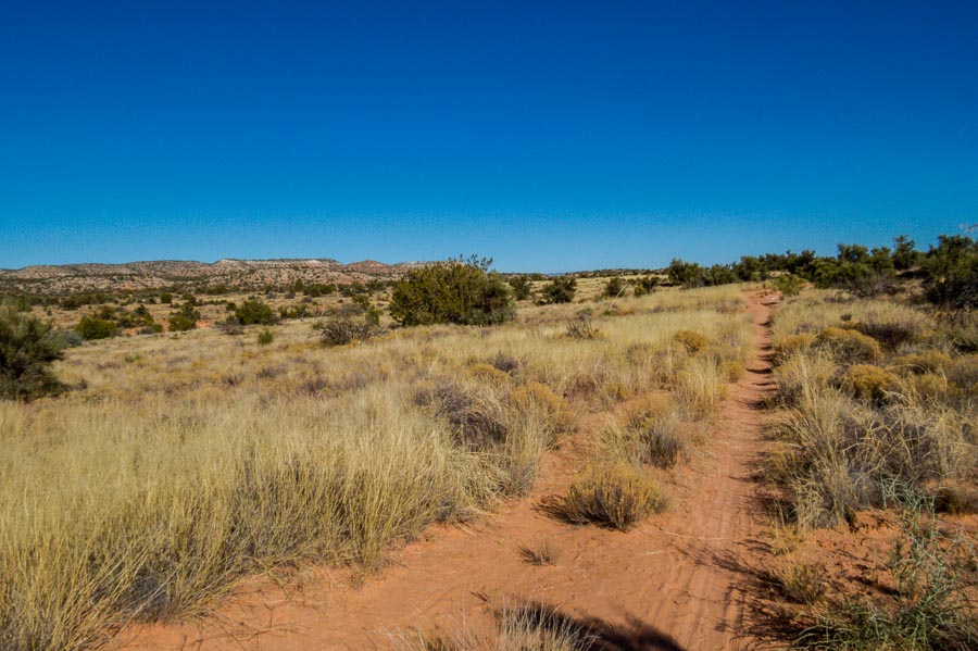

Another straight part of the trail along a meadow

Prickly pear cactus (Opuntias) are prevalent in the southwest and often grow in a tall candelabra type shape. This particular species was quite red and low growing. Perhaps the elevated and open location, with potentially more winds, kept it from growing upward. Spreading in a horizontal habit gives it an appearance of a caterpillar crawling across the ground.
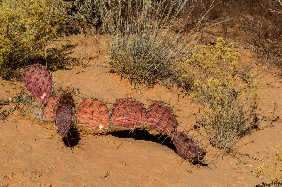

Red prickly pear cactus spreading across the terrain

Here’s another picture of the surrounding terrain and flora.
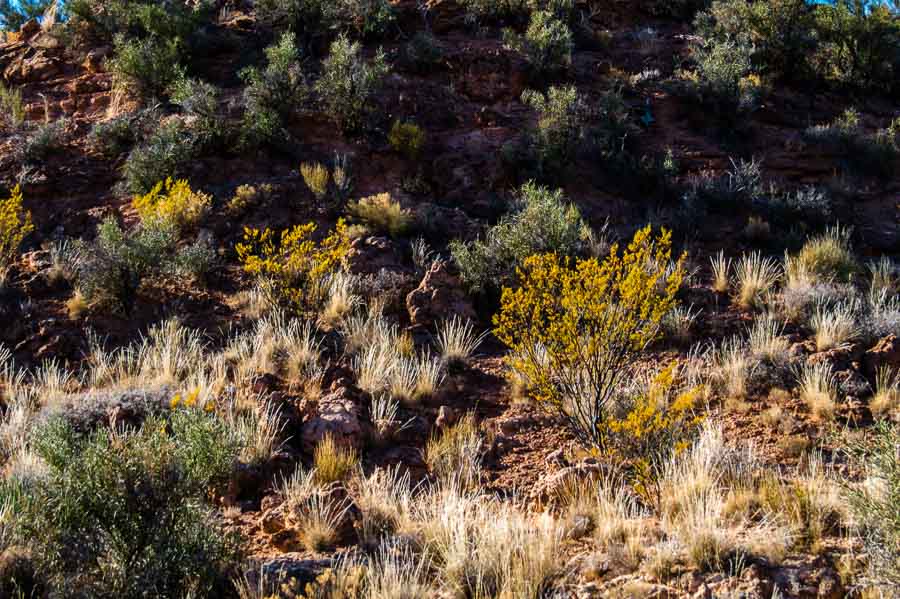

Another photo of the terrain and flora of the area

We didn’t notice it on the way up, but on the return trip there was a sign calling attention to the actual lime kiln.
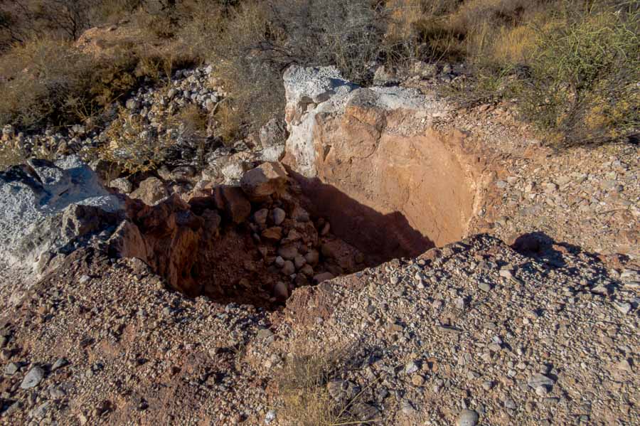

The actual lime kiln

Currently this is what the inside of the kiln contains…
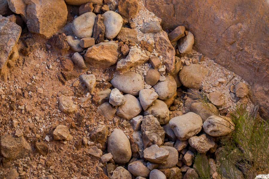

a close up of the current contents of the lime kiln

Here is what the kiln looks like from the trail.
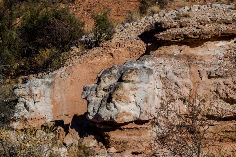

A view of the lime kiln from the trail

As we left the trail and headed for the parking lot, I stopped to take a picture of this stately tree which I am guessing is a cottonwood. The pipe to the right is a water flume draining water into a more natural catchment area.
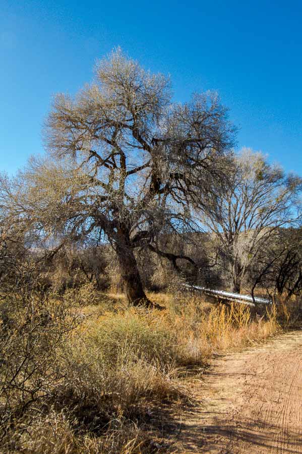

A stately cottonwood at the end/beginning of the trailhead

Although the car was only a few steps away, I noticed several groups of ducks in the lagoons which seemed to be popular fishing spots. I couldn’t resist trying to capture a few pictures for my American Birding Association checklist and picture archive. I had a decent picture of a coot, but not a good one so off I went.
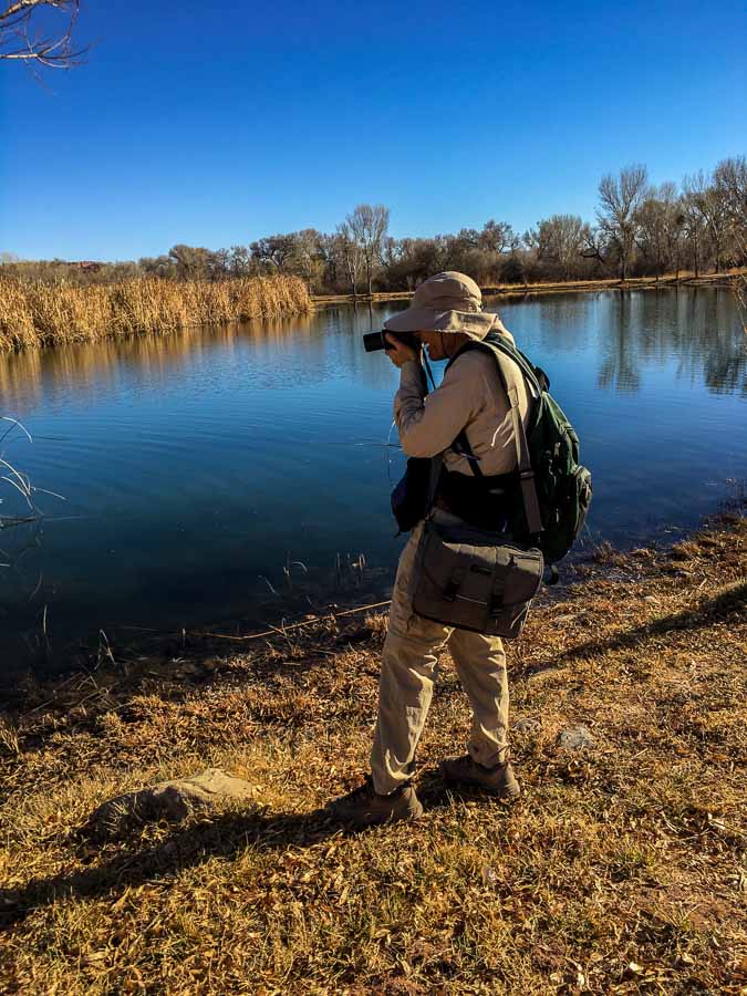

Jeff taking pictures of the ducks

Not a coot, but a Ring-necked duck.


A handsome Ring-necked duck

Notice the bright orange eye!


A portrait of a Ring-necked duck with outstanding orange eye

Oh yes, there were some American Coots as well…


An American Coot


** NOTES ** The location of the Lime Kiln trailhead is not very well marked. If you park near the lagoon closest to the horse stables, the trailhead is to the left as you head in the direction of the stables. There is a trail stake to mark the beginning. After a short walk, you will need to cross a bridge which is where the water flume picture above will be located.

ARIZONA STATE PARKS & Dead Horse Ranch State Park

Facility Information – Dead Horse Ranch State Park

  • 675 Dead Horse Ranch Rd, Cottonwood, AZ 86326
  • Hours: 7AM – 6PM Daily
  • Amenities: Passenger vehicle parking. Restrooms
  • Length: 2.1+ miles
  • Elevation change: Mild (based on the first 2+ miles)
  • Difficulty: Easy/Moderate
  • Use: hiking, biking, picnic area, playground, fishing and horseback riding


Read more Hiking and Exploration posts HERE


**********


All original content on this blog is copyrighted by Jeffrey B. Ross with ALL Rights Reserved. While reference links back to JBRish.com are appreciated and encouraged, please acquire approval for any reproduction of original content from this website.

©Jeffrey B. Ross – 2018 – JBRish.com
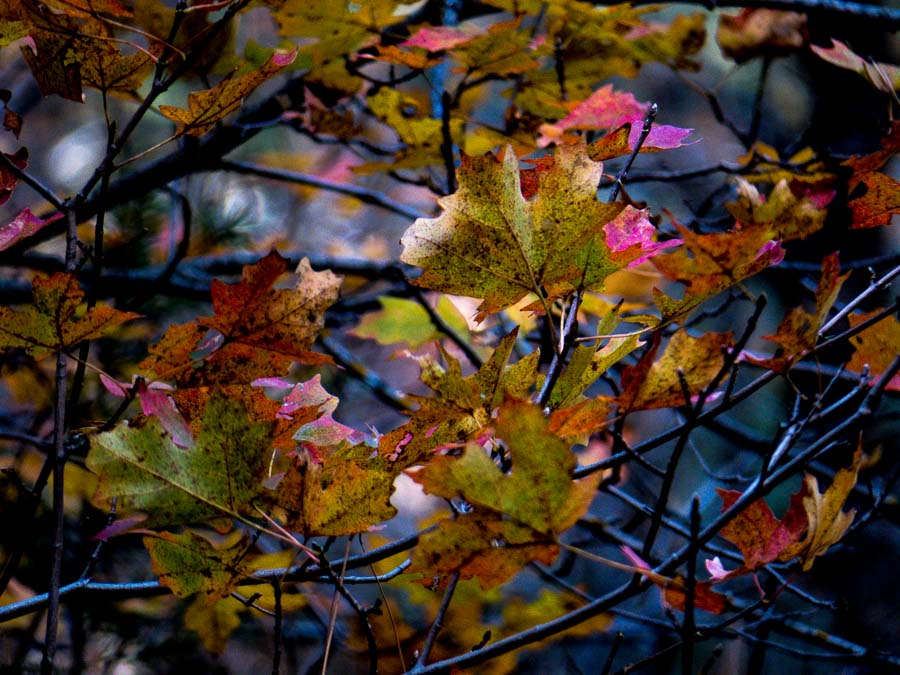


Photography: As Shot – Fall Colors


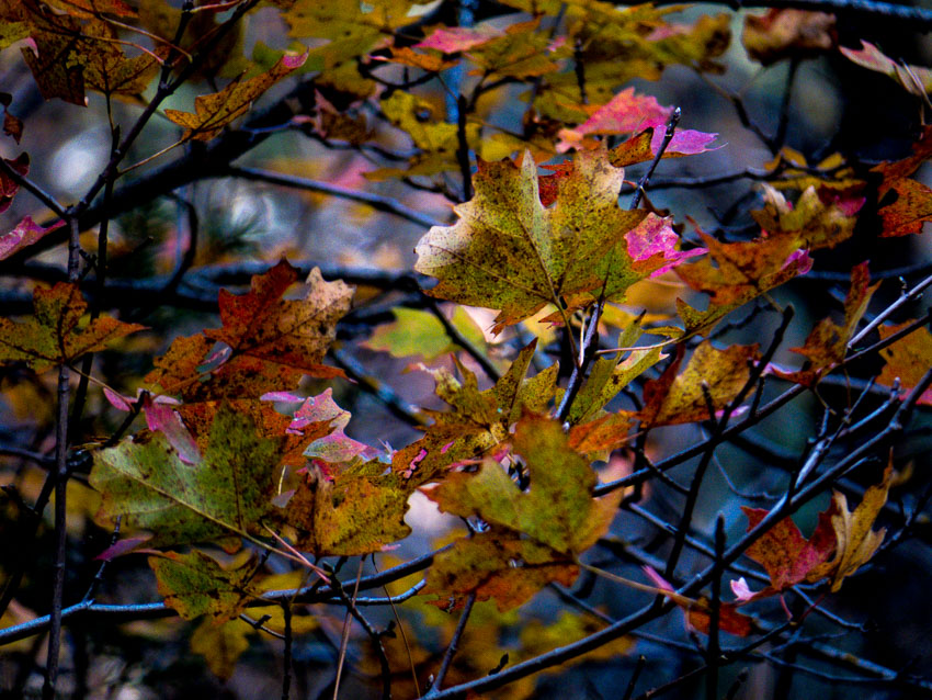
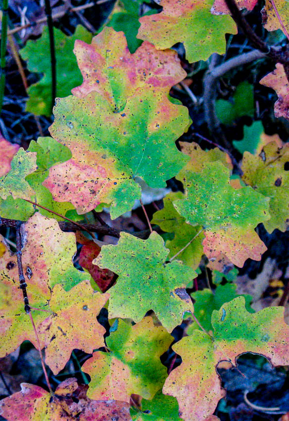
Fall colors of leaves - Oak Creek Canyon, AZ

This is the time of the year when certain areas are transitioning between fall and winter and much of the fall color is now gone. In the desert we don’t have a dramatic change of season. When we want to get a sense of fall, we head north to one of our other favorite areas.

The picture above was taken at the West Fork of Oak Creek, just north of Sedona, AZ. While the post on Instagram doesn’t show the entire frame nor the degree of detail, I thought this was a season-worthy photograph to share with the additional clarity and explanation.

File Name: DSCF0045.RAF
Capture time: 12:01:07 PM
Capture date: November 9 2015
Exposure: 1/80 sec @ f/6.5
Focal Length: 215m
ISO: 100
Camera: Canon PowerShot SX50 HS
Lens: 4.3-215mm
Edited in Lightroom

  • Read more about hiking the West Fork Trail, HERE
  • Read more photography posts HERE


**********


All original content on this blog is copyrighted by Jeffrey B. Ross with ALL Rights Reserved. While reference links back to JBRish.com are appreciated and encouraged, please acquire approval for any reproduction of original content from this website.

©Jeffrey B. Ross – 2017 – JBRish.com
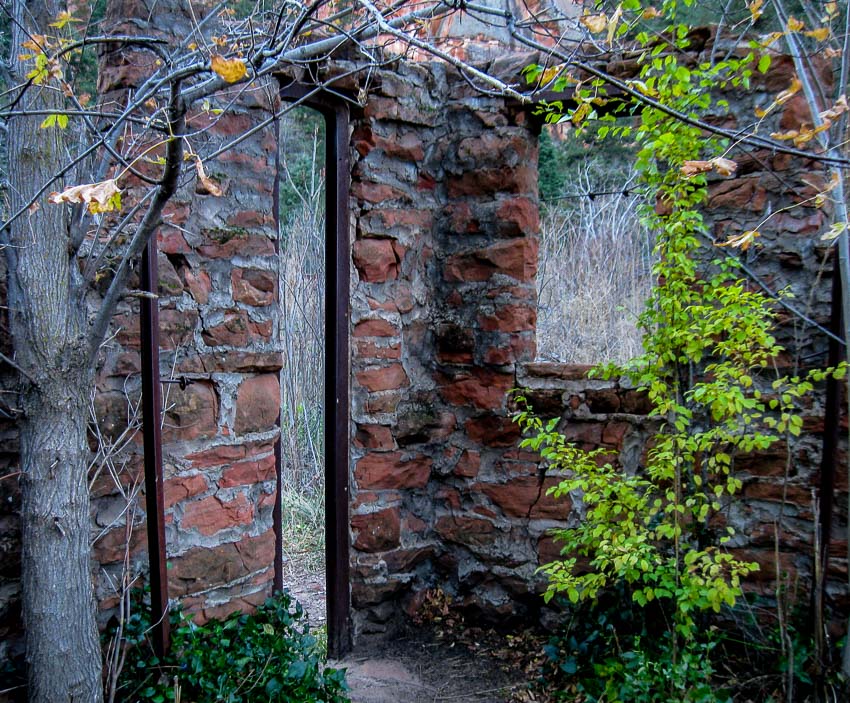


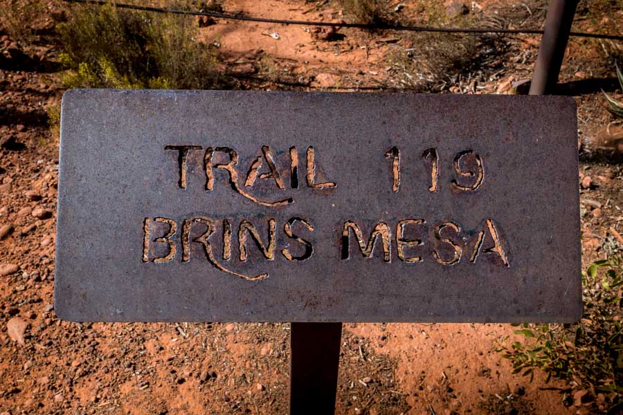
Hiking: Brins Mesa – Sedona, AZ


along the Brins Mesa Trail - Sedona, AZ

Years ago we tried to hike the Brins Mesa trail with some visiting friends, but they weren’t hikers and soon decided that they weren’t prepared for the adventure so we returned to the car to visit other nearby and easily accessible vistas.

The Brins Mesa trail is probably best described as moderate to a bit more than moderate (at times). The trail is relatively well marked, but it is primarily uphill if you are starting from the main trailhead at the outskirts of town.

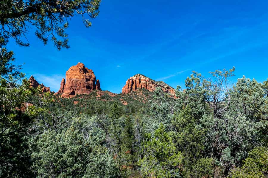
Soon after starting the climb, this is one of the scenes you will see.


along the Brins Mesa Trail - Sedona, AZ

One of the reasons for undertaking this hike is to admire the beautiful scenery and red rock vistas encountered along the entire trail.

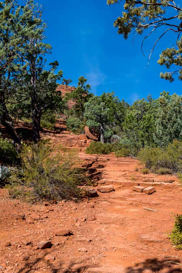
There are what has been referred to as “natural stairs,” but the operative word there is natural. Creating steps from a rock face formed by nature is no easy task and as you might imagine, the spacing is not always ideal. Hiking sticks may be helpful for those who are less sure-footed.


along the Brins Mesa Trail - Sedona, AZ

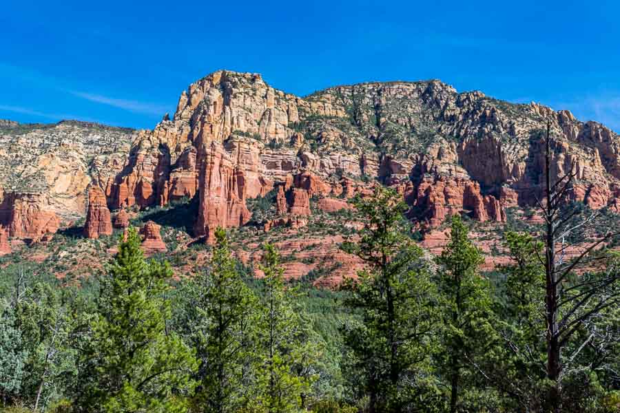
In almost every direction, the red and sand-colored rocks rise above the trees to the wonder and appreciation of trailblazers.


along the Brins Mesa Trail - Sedona, AZ

You don’t see the mesa itself for a while, but persevere and you will come to a shelf-like geological feature that is the Brins Mesa (pictured below).


along the Brins Mesa Trail - Sedona, AZ

It is unfortunate that years ago there was a fire that destroyed many of the trees and the carcasses of those sentinels can be seen along the mesa’s trail.


along the Brins Mesa Trail - Sedona, AZ


along the Brins Mesa Trail - Sedona, AZ

For those who enjoy photography, there are numerous opportunities to capture memorable landscapes.


along the Brins Mesa Trail - Sedona, AZ

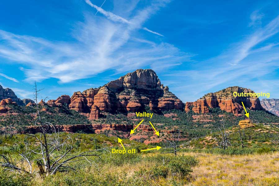
As we were hiking along the trail, we noticed what looked like a ledge (drop off) and a valley. We also spotted an outcropping or rather a small hill and we decided to explore. There is a trail leading in that general direction.


along the Brins Mesa Trail - Sedona, AZ

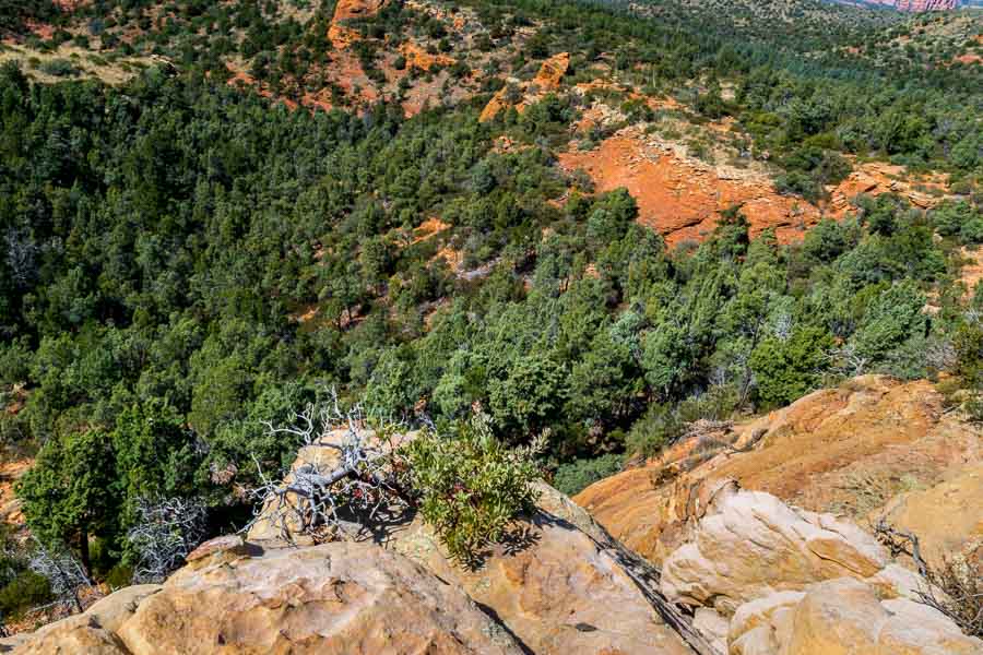
The picture below was taken while I was standing at the ledge. Notice the darker, reddish dirt in the valley.


along the Brins Mesa Trail - Sedona, AZ

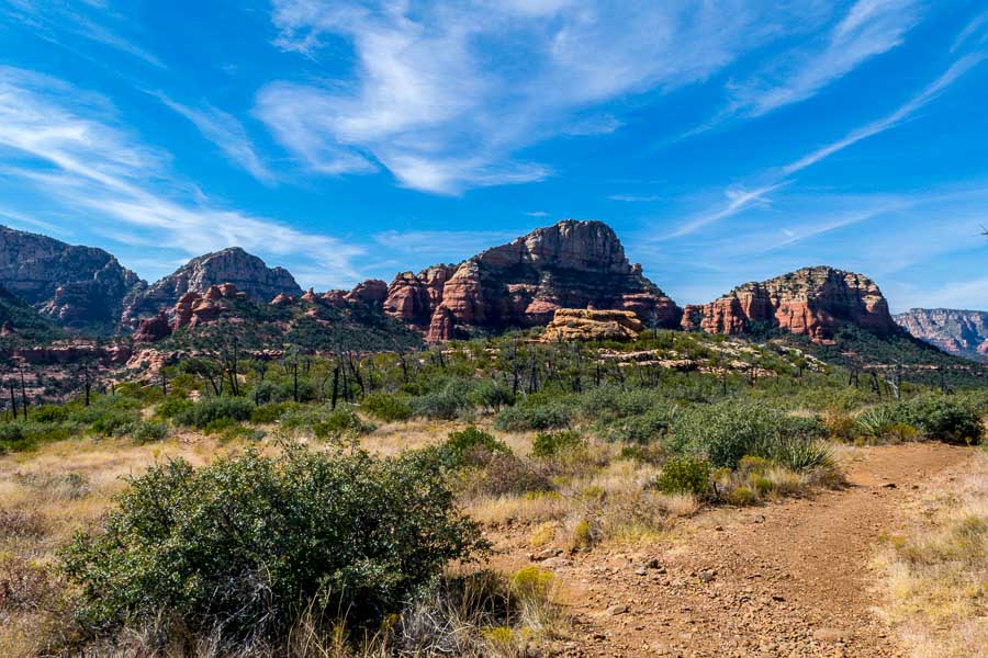
I took a couple of panoramas (linked below) as the red rock mountains were spread out before me. It was too wide and too beautiful for me to capture in just one or two pictures. After some exploration and appreciatiion, we decided to return to the trailhead. Although it was mid-October, the day was quite warm and we had a long day. This is the scene looking back toward the ridge and surrounding mountains.


along the Brins Mesa Trail - Sedona, AZ

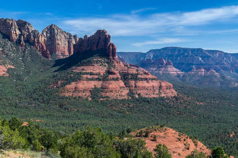
One rule of photography is to look behind you as you travel because sometimes, the best view is not in front, but in back. When returning along the same trail, this maxim becomes self-fulfilling. These are a few of the pretty formations we captured during the return to the trailhead.


along the Brins Mesa Trail - Sedona, AZ


along the Brins Mesa Trail - Sedona, AZ

Famous Bell Rock can be seen in the center of the photo below where the sky seems to meet the low-lying structure. It is hard to pick out, but look for the little nub on top.


along the Brins Mesa Trail - Sedona, AZ

Red rock spires and hoodoos (column of rock) are abundant.


along the Brins Mesa Trail - Sedona, AZ

Here are the two panoramas…


along the Brins Mesa Trail - Sedona, AZ

To see a larger photo of the scene, make your browser window larger and click HERE


along the Brins Mesa Trail - Sedona, AZ

To see a larger photo of the scene, make our browser window larger and click HERE

More information about the Brins Mesa trail can be found at the following links:

Brins Mesa Trail No. 119 – Forest Service (USDA)

Brins Mesa Trail – AZ Highways


Read more Hiking and Exploration posts HERE


**********


All original content on this blog is copyrighted by Jeffrey B. Ross with ALL Rights Reserved. While reference links back to JBRish.com are appreciated and encouraged, please acquire approval for any reproduction of original content from this website.

©Jeffrey B. Ross – 2017 – JBRish.com


Fall Hike – West Fork of the Oak Creek, AZ – Pt. 3

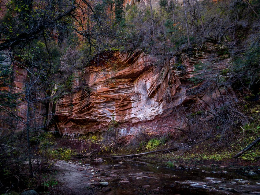
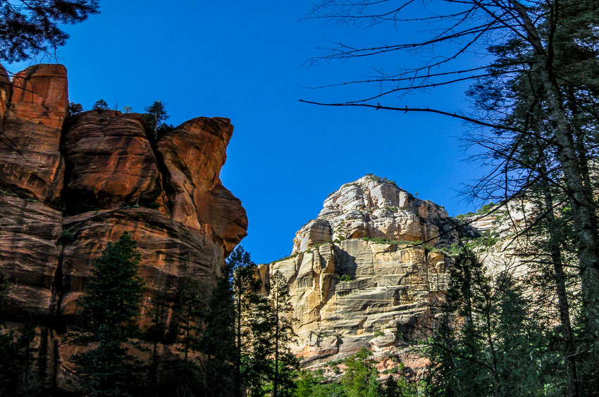
While hiking along the West Fork of the Oak Creek just outside of Sedona, AZ we came across this wall and cliff of fractured red rock highlighted by light and dark colors most likely from minerals in the rock and the effects of running water.
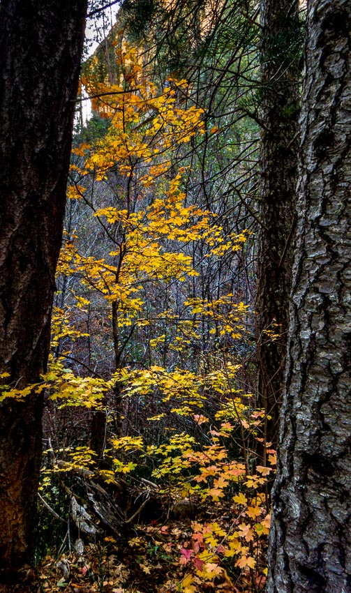
 

red rock cliff

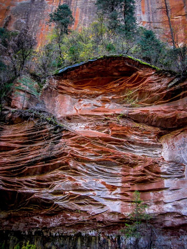
Here’s a closer look. Trees grow along the overhanging shallow shelf above the cliff.

trees growing on the shallow shelf

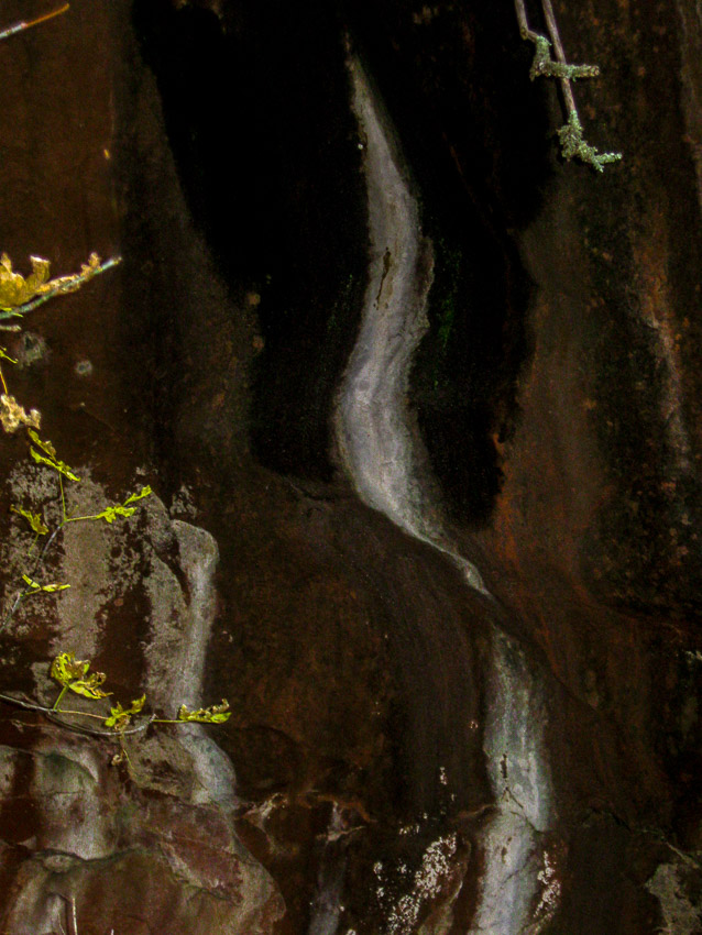
Other walls along the trail had interesting colors and markings as well. This nearly black patch was highlighted by a stream of white reminiscent of a plume of smoke from a cigarette.
black patch on wall with smoke-like markings

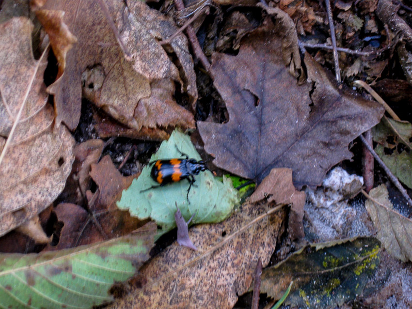
We weren’t the only life form enjoying this brisk autumn stroll. A orange and black beetle was weaving in and out of the leaves and appears to be of the Nicrophorus defodiens species which enjoys eating fungus.

fungus eating beetle

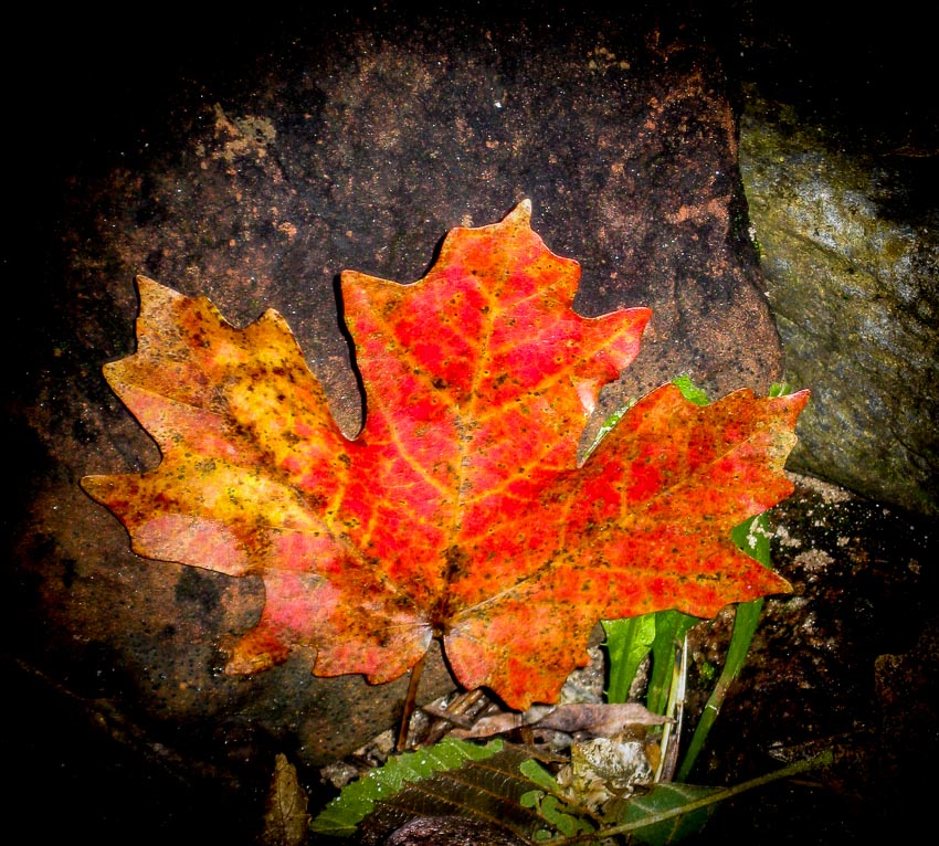
A colorful leaf waiting for its close up and I obliged.

pretty red and gold leaf

On the return trip back to the trailhead, we revisited some of the previous sites this time lit with the afternoon sun.

red and white rocks in the afternoon sun

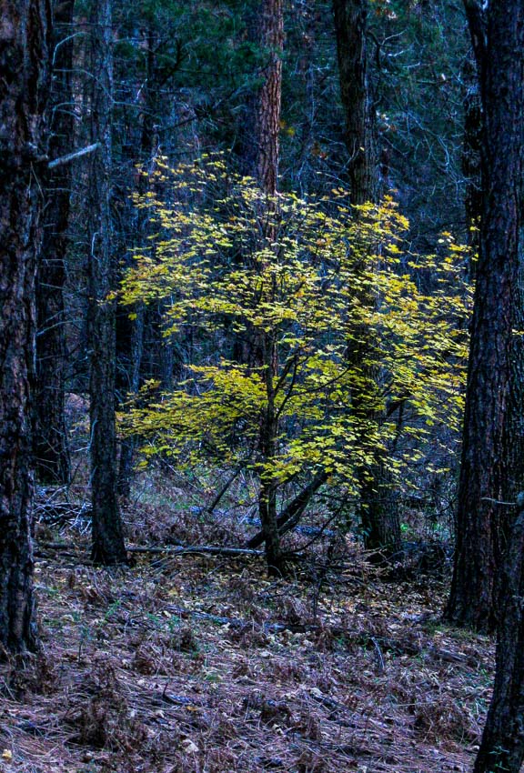
There were moments when the contrast of the dark and the light was stunning as with the golden-green leaves against the dark browns and grays of the trees

beautiful contrast of dark trees and light leaves

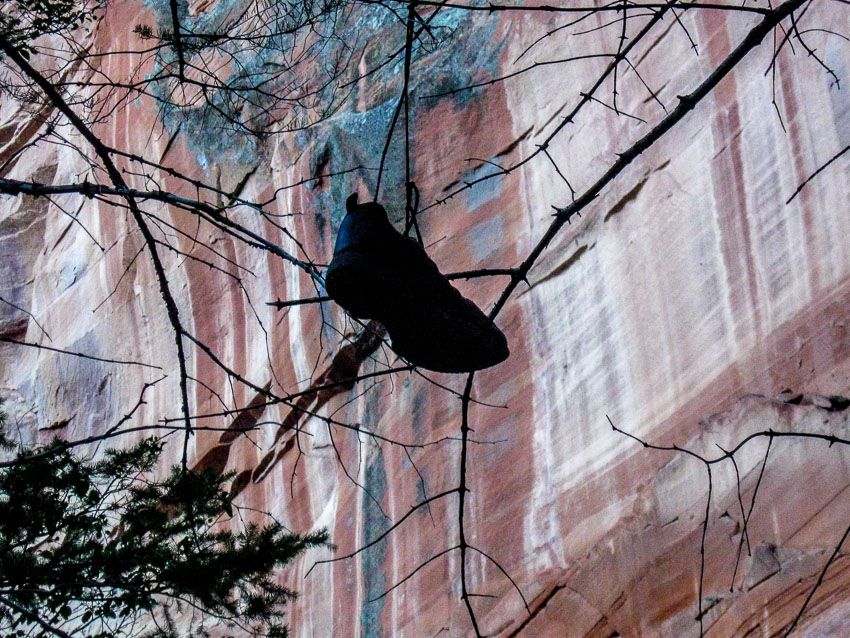
A bit disheartening are scenes like this where someone decided a tree branch needed to be adorned with and old sneaker or shoe.

old sneaker hanging over a tree branch

At the beginning of the trail, not too far from the trailhead, are the remnants of Mayhew Lodge that was opened in 1926. The lodge remained an active retreat until 1968 and is noted for attracting a number of celebrities such as President Herbert Hoover, Walt Disney, Jimmy Stewart and Clark Gable.

Only a few partial walls remain standing, but with a bit of imagination, one can envision the raw beauty and solace that this retreat once promised.

Mayhew Lodge corner wall

Perhaps President Hoover or Clark Gable gazed out this window to watch native wildlife.

Mayhew Lodge round window

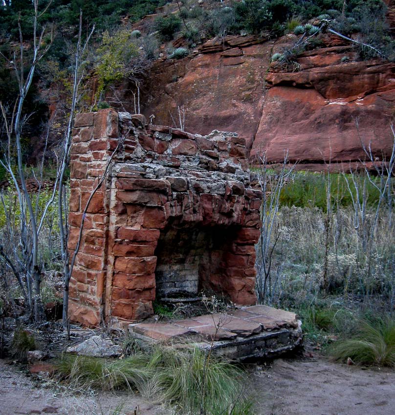
Which celebrities or notables warmed themselves at this hearth?

Mayhew Lodge hearth

The short video shows the outbuildings and a few shots of the lodge.

Even more information and pictures HERE:

We had a good day along the West Fork of the Oak Creek. We were damp, cold and tired and welcomed the heated seats and warm air provided by our Subaru Forester as we made our way back to the Valley of the Sun.

If you missed the previous posts about our hike along the West Fork of the Oak Creek, you can find them here:

Fall Hike – West Fork of the Oak Creek, AZ – Pt. 1

Fall Hike – West Fork of the Oak Creek, AZ – Pt. 2

Fall Hike – West Fork of the Oak Creek, AZ – Pt. 1

Much of our lives were spent in the northeast and although we now live in the southwest and we are fond of the desert, once in a while we get the urge to experience a true change of seasons like those we experienced during the fall in our rural New Jersey home.

When this happens, we look to northern Arizona to satisfy our yearning. Recently we decided to take a November foray to an area just north of Sedona, AZ and hike the trail of the West Fork of the Oak Creek.


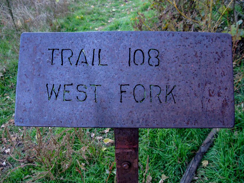
West Fork Trail #108 Sign

The trail is located off of highway 89A between mileposts 385 and 384. As always, dress appropriately, be sure to have waterproof/resistant footwear and perhaps bring an extra pair of socks. One other hint…many will find hiking sticks useful especially during the stream crossings. If you don’t have hiking sticks, a dead branch can usually be found along the way and often they are left at the trailhead sign.

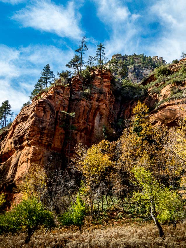
Soon after we began, we were treated to this beautiful, red rock fall scene. It was a very crisp, clear fall day at the Oak Creek.

Beautiful Colors at the Trailhead Approach

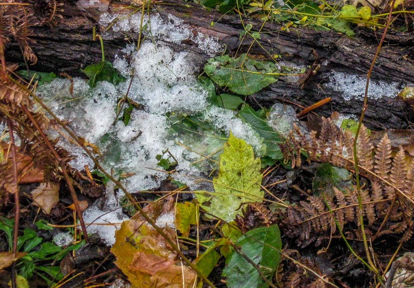
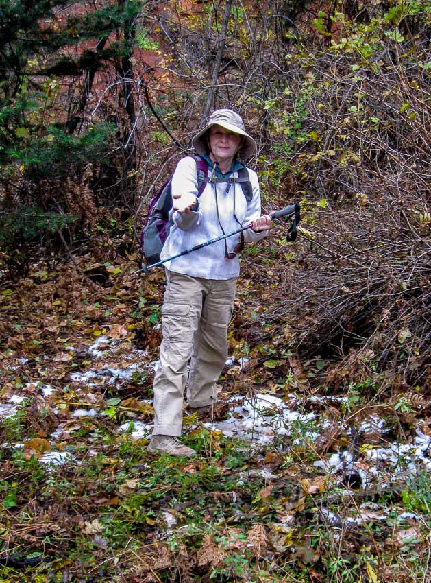
Snow remnants

We were aware that it had snowed a week or so before our planned excursion, but we did not realize remnants would still be found. Mary picked up a handful; something we can’t do in the Valley of the Sun.

Mary grabs a handful of snow

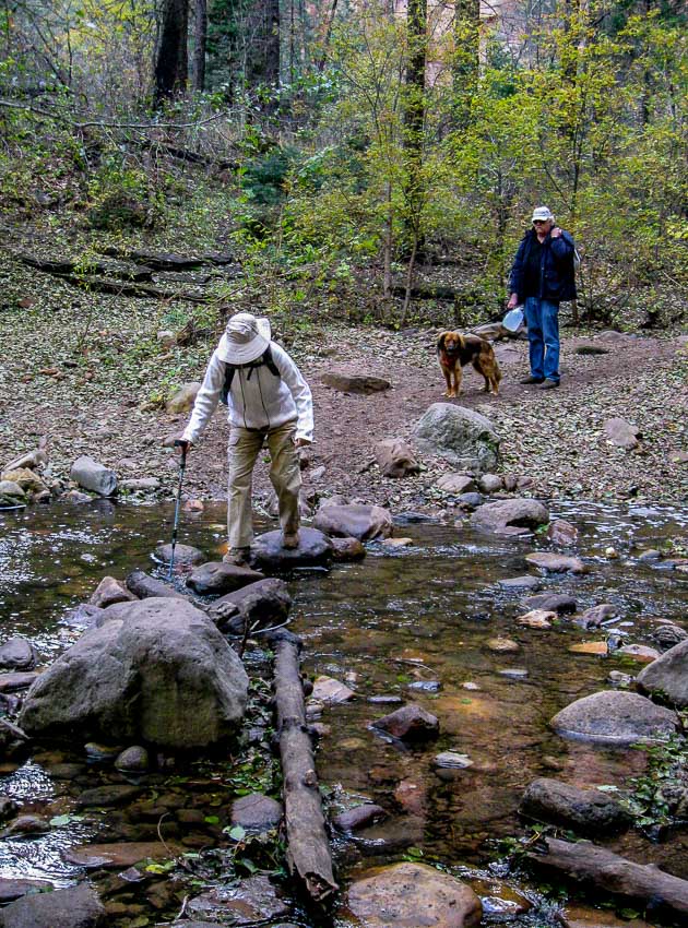
As you may note, there are no officially maintained crossings of the stream which number thirteen each way for a total of twenty six. All hikers are left to decide the best route to attempt. Rocks are not always steady, logs are sometimes slippery and the dry footholds may be far apart. This provides some excitement and challenges. Many hikers brought their four-legged companions along for a frolic.

Mary at stream crossing; dog waiting

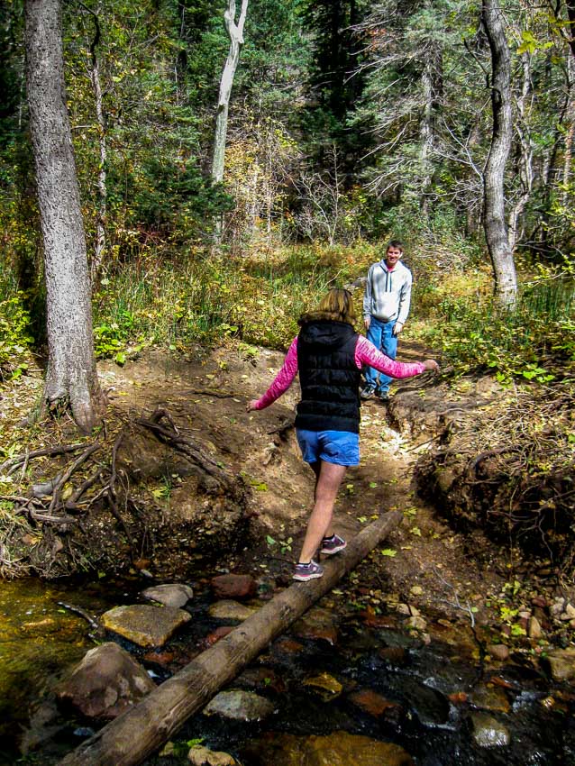
Gymnastics training could come in handy.

Gymnastic creek crossing

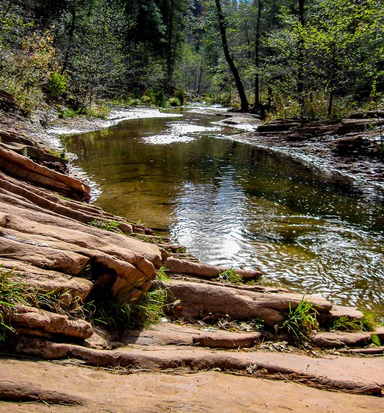
The creek widens and narrows along the route providing interesting and contrasting vistas among the red sand and rocks.

Contrast of stream and red rocks

Of course we need to mention the leaves; yes the leaves. In the desert, we don’t have fall leaf colors and shapes like these.

fall leaf colors

The contrast of reds, yellows and bronze against the dark bark and red cliffs was very pretty.

gold bronze leaves amid the  gray of fall

Change was definitely in the air. Leaves were donning their seasonal finery as they fell to the ground or attempted to cling to the branches just a bit longer.

Leaves change color

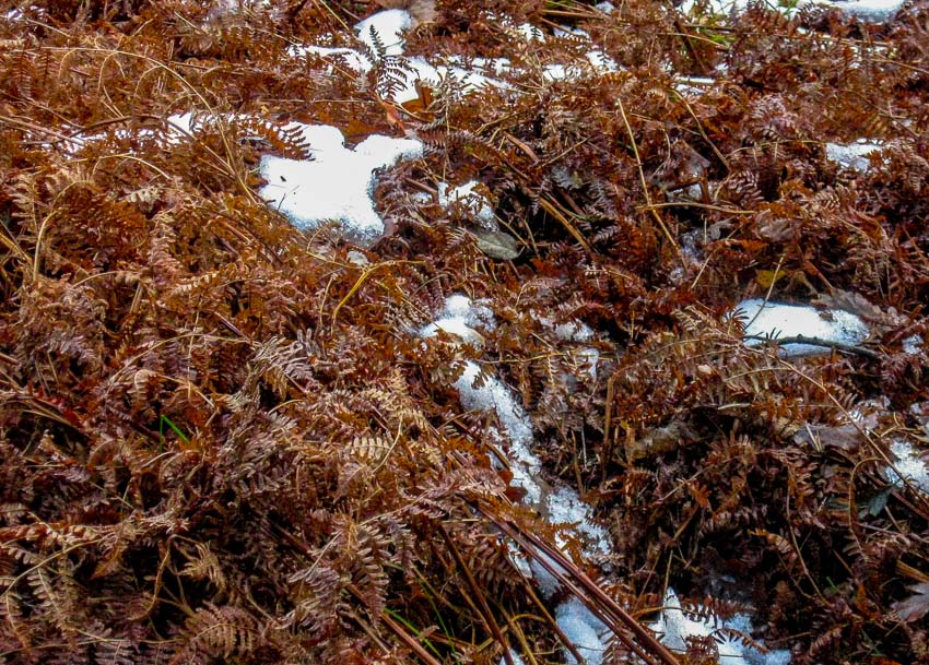
The patches of dried, brown foliage also provided a pretty foil for the remaining snow which provided the background for the patterns of fall.

patterns of dead ferns against the snow

To be continued…

For more information about the West Fork of Oak Creek, Sedona including hours of operation, fees and restrictions, see the links below:

West Fork Oak Creek #108

Hiking the West Fork of Oak Creek

Trail Map of West Fork Oak Creek