- Address: 31402 N. 136th St., Scottsdale, AZ
- Hours: Sunrise to sunset daily
- Amenities: Passenger vehicle and horse trailer parking. NO RESTROOMS OR WATER
A couple of days ago I wrote about capturing my first “decent” photograph of a Phainopepla while hiking along the Bootlegger Trail off of the Granite Mountain Trailhead which is part of the McDowell Mountain Preserve in Scottsdale, Arizona.
Kudos to the citizens of Scottsdale for fostering efforts to support the acquisition of desert lands to be kept in their natural desert form. As you may imagine the population growth in the southwest is booming and native desert is disappearing fast. Land put aside to remain undeveloped is a treasure that can be enjoyed by everyone.
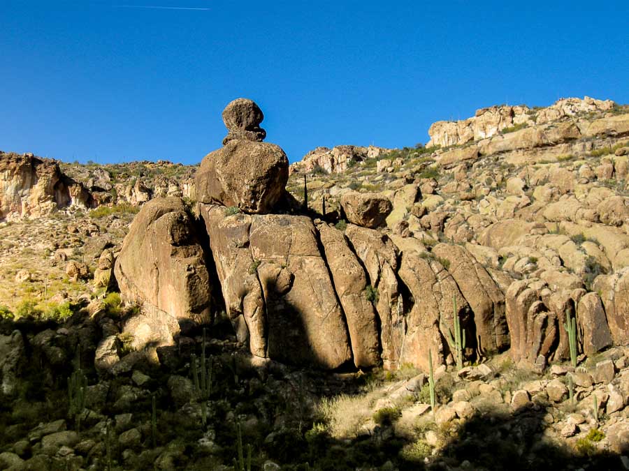
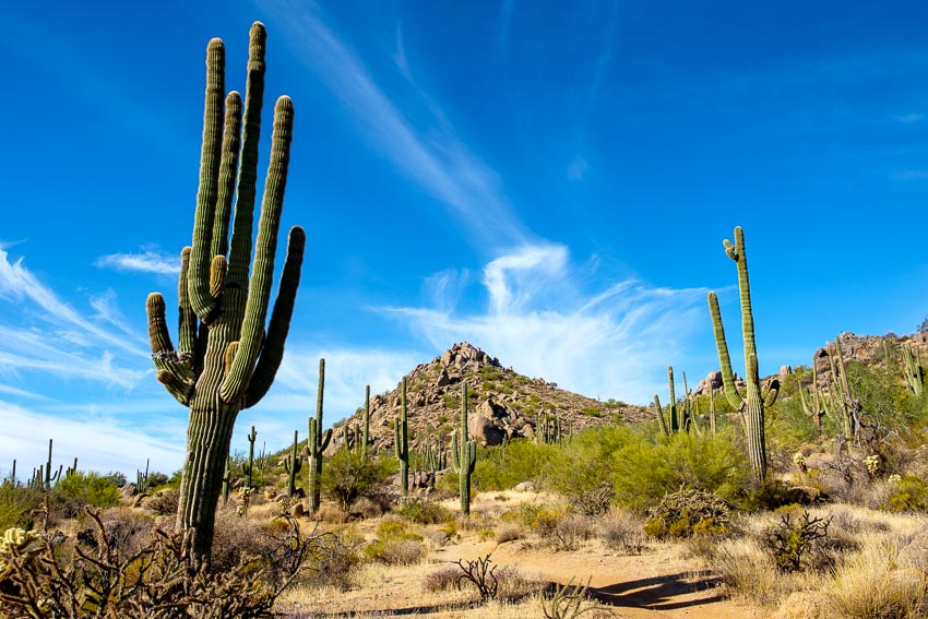
We have hiked other areas of the McDowell Mountain Presserve, but this was the first time at this particular location and we were not disappointed. Below is the view just a few yards away from the parking area.
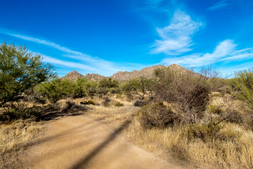
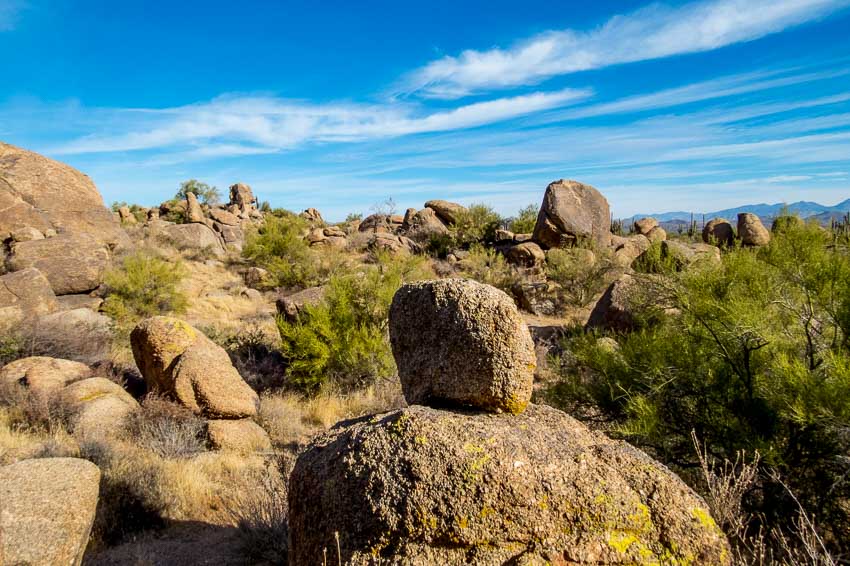
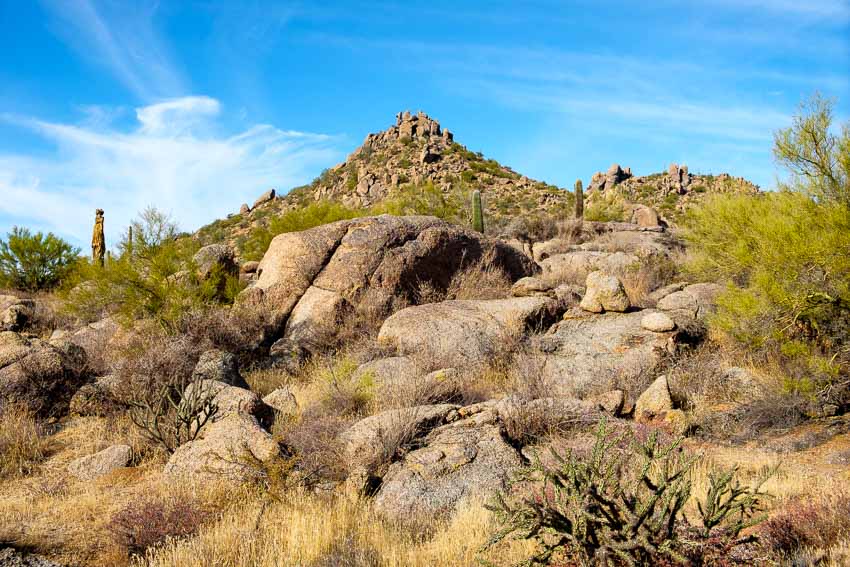
What helps to make this area somewhat unique and interesting are the boulders and boulder formations that populate the trail.
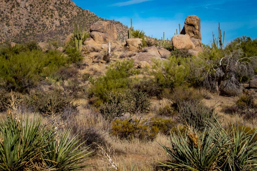
As we began to head west, the distant hills loomed large before us.
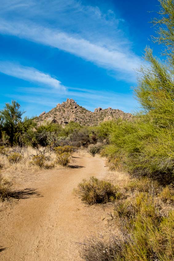
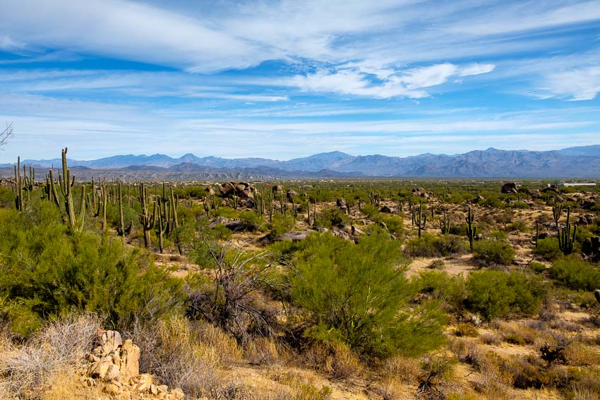
The essence of the area really cannot be captured in individual photos so I hope the panorama below provides a sense of the expansive, hilly terrain.

To see a larger version of the panorama, click HERE
This was just one of the many boulder formations we studied as we hiked along the trail.
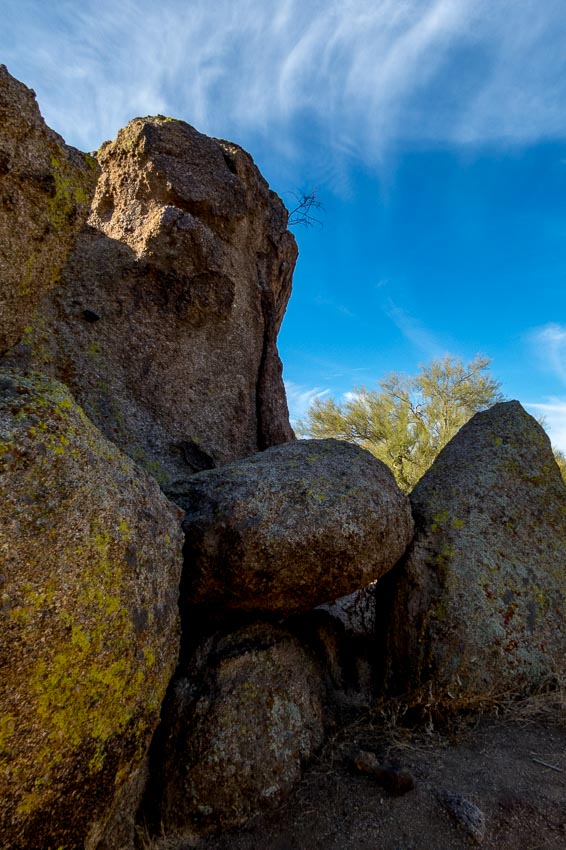
Boulder fields with rocks piled on top of each other often surrounded the trail.
As we hiked, I spotted a bird atop the granite hill far in the distance. Unfortunately my telephoto lens was not long enough to acquire a very detailed photo, but my guess is that it was a Harris’s Hawk (see the second image).
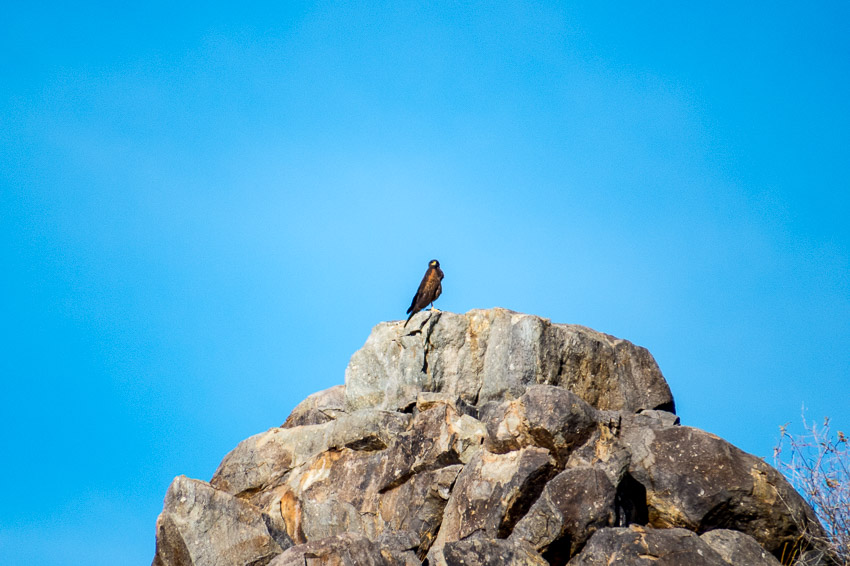
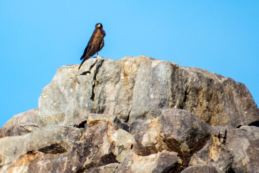
This is a description of the Harris’s Hawk from All About Birds – Cornell Lab of Ornithology:
“A handsome hawk of the arid Southwest, Harris’s Hawk is a standout with bold markings of dark brown, chestnut red, and white, long yellow legs, and yellow markings on its face. The most social of North American raptors, these birds are often found in groups, cooperatively attending nests and hunting together as a team. When hunting, a group of hawks surround their prey, flush it for another to catch, or take turns chasing it. This hawk’s social nature and relative ease with humans has made it popular among falconers and in education programs. “
While this trail is listed as moderate, we are inclined to label it more appropriately as easy. There were some inclines and the path does lead up to the distant hills, but we didn’t find any sections that we felt were strenuous.
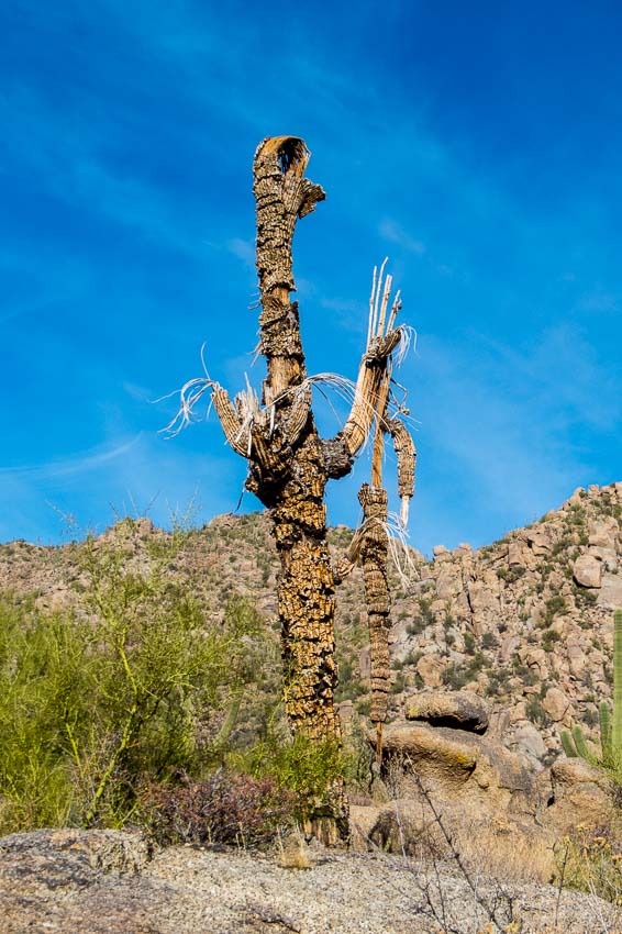
The desert is a very harsh environment and death is often in evidence. Once stately saguaros often succumb to damage or drought. Even in death, they grace the area and give evidence to the beauty that is the desert.
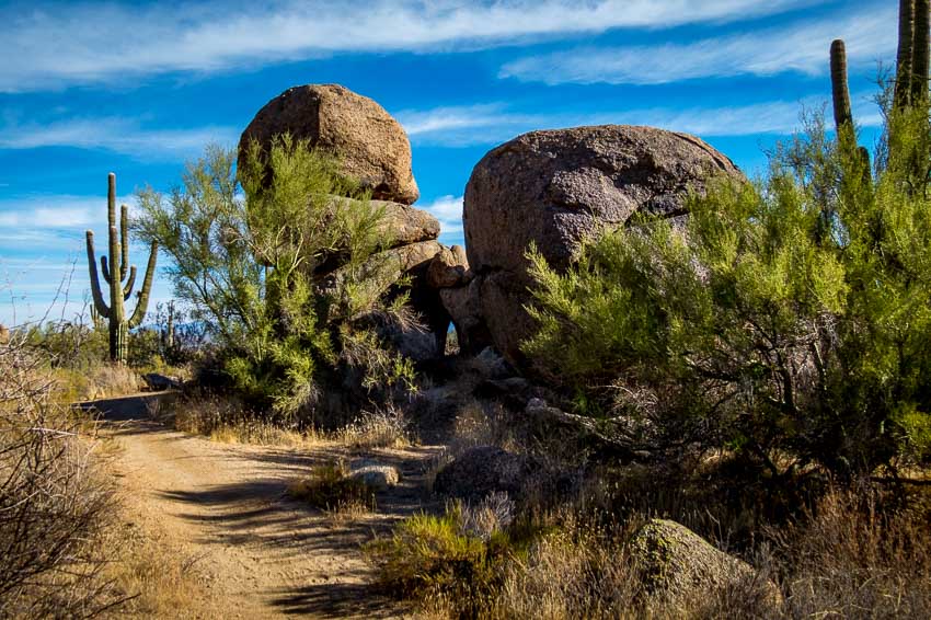
This was a lovely area with the saguaro straight ahead and the boulder formation off to the right in the shade. There was a small “window” in the bottom, middle portion of the rock formation which enabled us to get a peek of the upcoming distant vista.
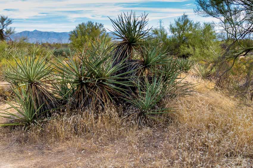
As desert gardeners and proponents of native vegetation we always enjoy seeing clusters of greenery in areas that receive scant rainfall.
At the start of the trail and then again as hikers make their way back toward the parking area, there are distant views of desert mountains and nearby housing developments.
We plan to return to the Granite Mountain Trailhead to take other hikes that lead to different areas of this interesting region.
- Length: 2.9 miles
- Elevation change: 175 feet
- Difficulty: Moderate
- Use: hiking, biking and horseback riding
Read more Hiking and Exploration posts HERE
**********
All original content on this blog is copyrighted by Jeffrey B. Ross with ALL Rights Reserved. While reference links back to JBRish.com are appreciated and encouraged, please acquire approval for any reproduction of original content from this website.
© Jeffrey B. Ross – 2017 – JBRish.com
