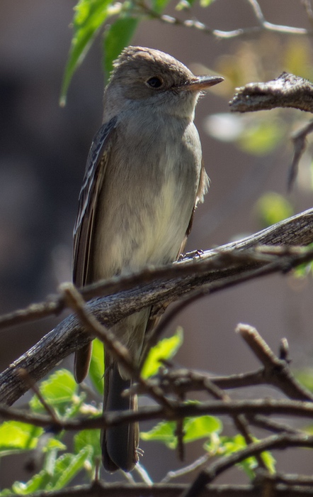
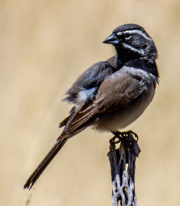
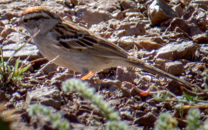
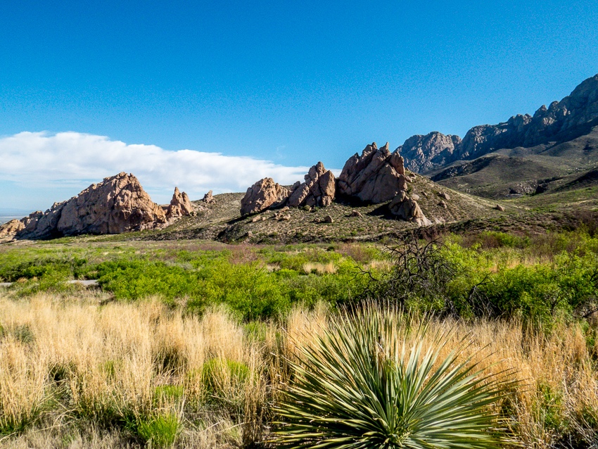
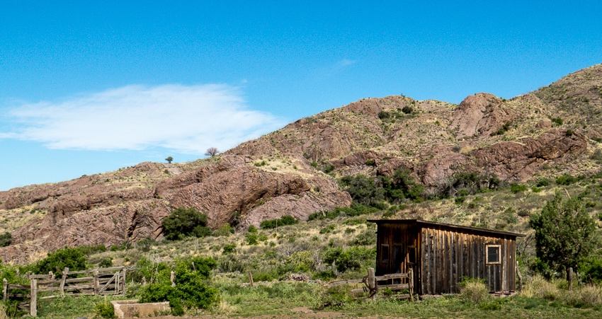
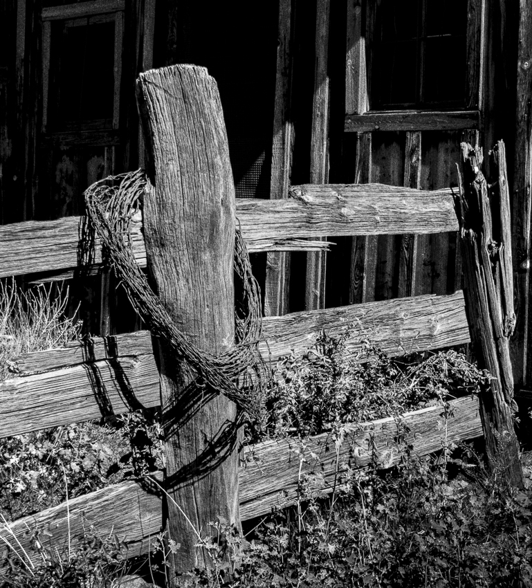
After several days of hiking the trails of the Organ Mountains-Desert Peaks (OMDP) National Monument, we headed for Valles Canyon located about 25 miles to the northwest. The hiking guide described it as slightly challenging, and would likely provide different terrain and vistas than the OMDP.
As cited on the websites below, there are dips in the road and warnings about flooding, but on this sunny (but very windy day) the roads were basically fine. (Note: Read the location directions carefully as Valles Canyon is somewhat tricky to find)
It was a bit of a trek from the parking area to the canyon itself. The road has some tire tracks and a number of rocky spots. Although there was evidence of 4×4’s use, rocks and high spots preclude the use of most vehicles
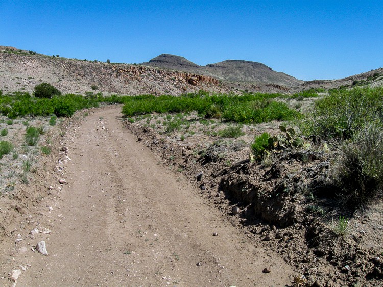
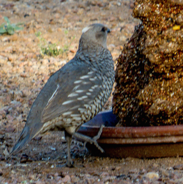
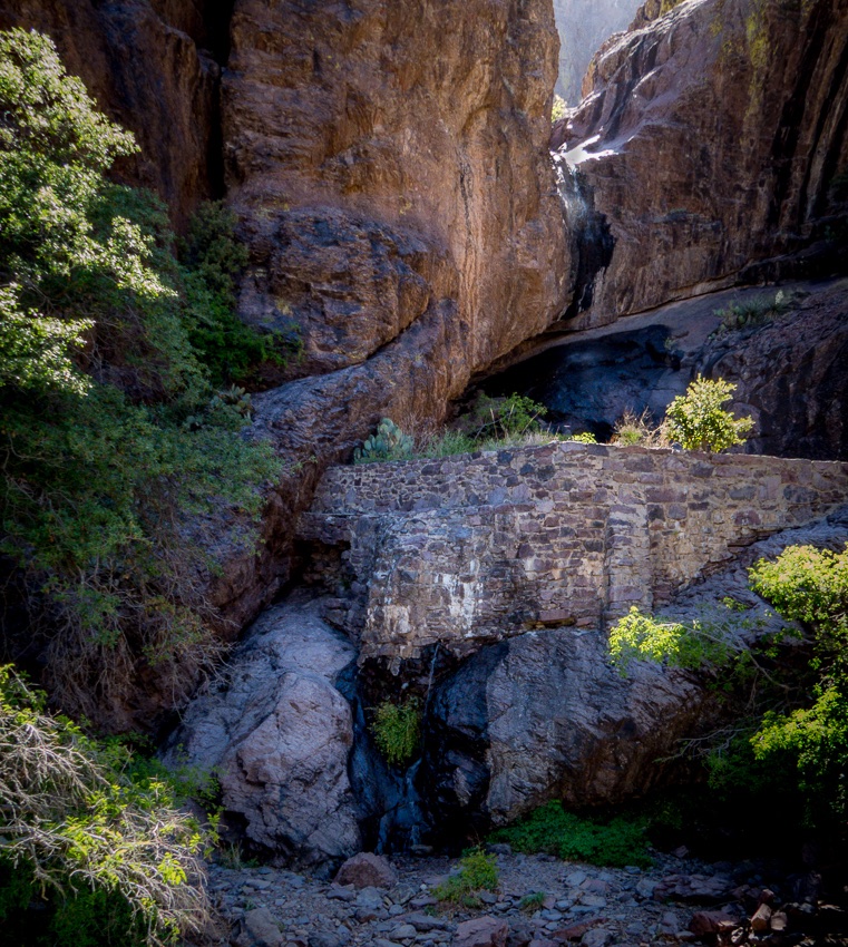
One of the first landmarks that assured the accuracy of the trail was the correct one was a defunct windmill and nearby water basins.
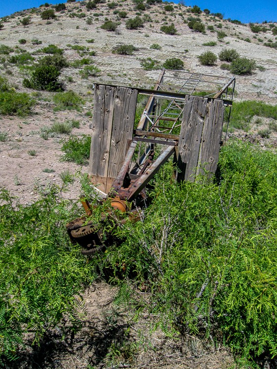
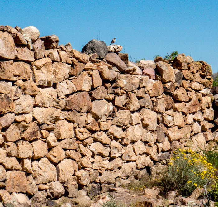
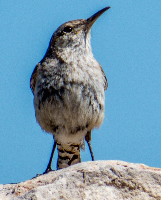
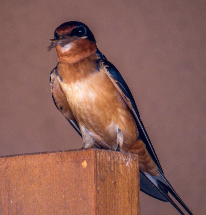
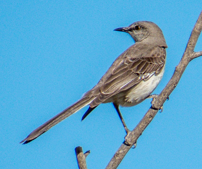
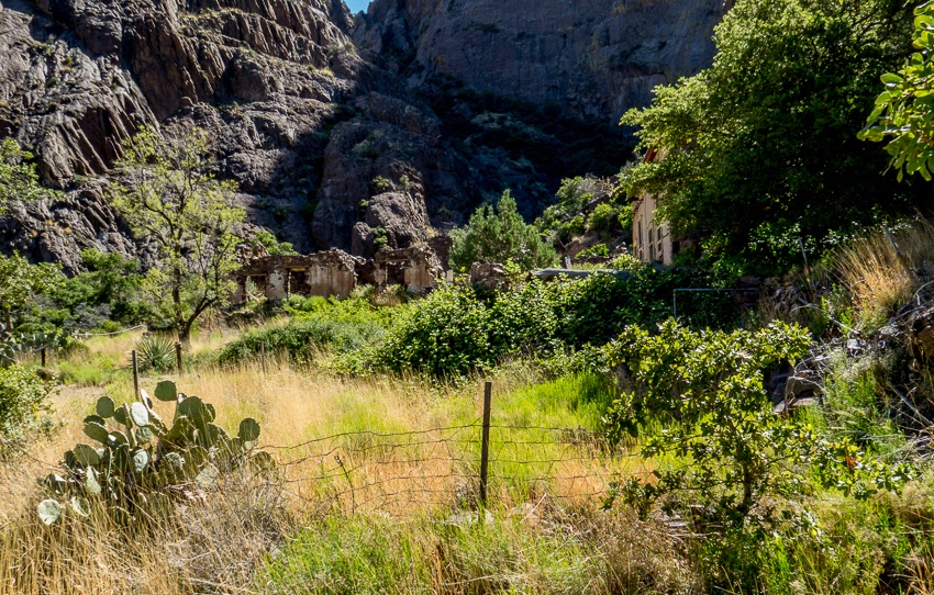
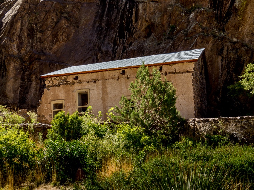
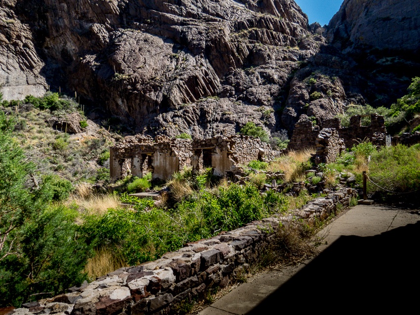
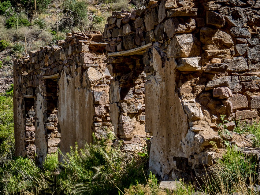
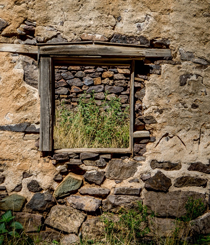
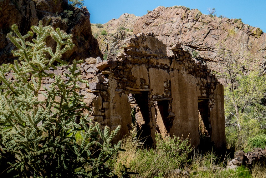
Old walls (ruins) now provide a nesting places for birds and (likely) other critters.
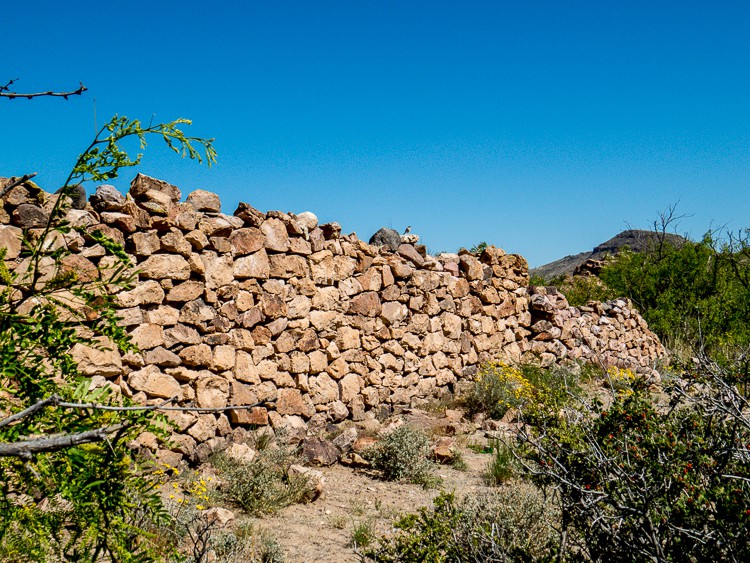
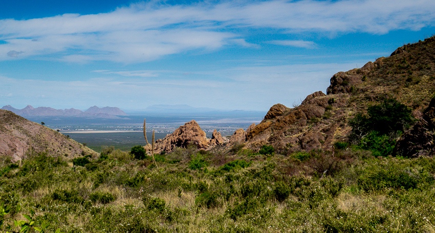
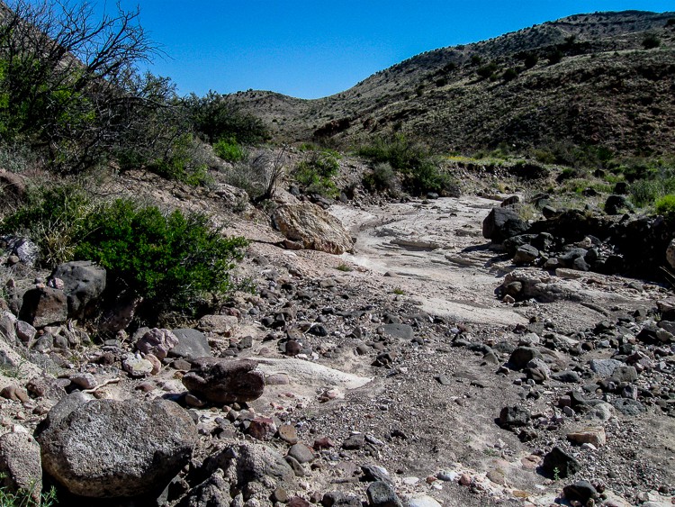
Mountains surrounding the canyon provided an impressive backdrop of color and form.
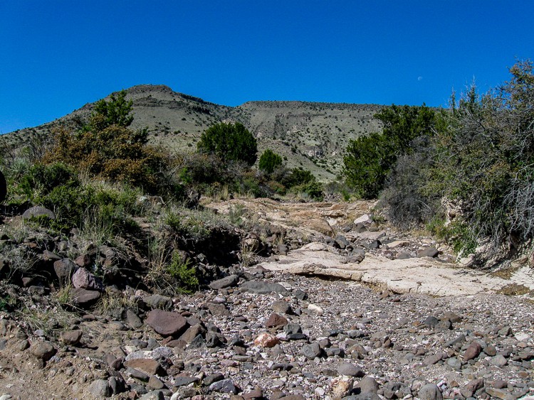
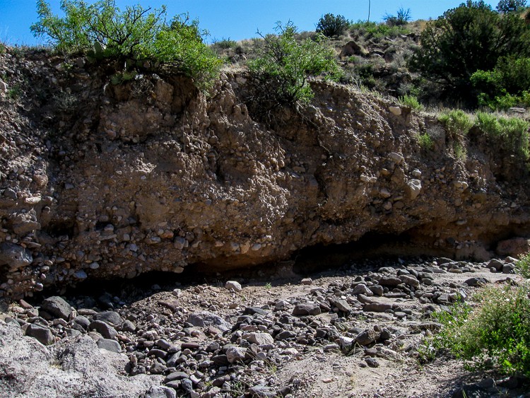
The geology of the canyon was very interesting. Here is a wall of one of the side canyons. Notice how it is made of sand that is embedded with rocks of various shapes and sizes and several that are rather large.
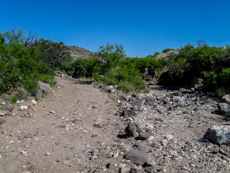
There were times that the path was not obvious and required the “most likely this way” option. We generally mark a waypoint on our GPS so we can readily backtrack if necessary.
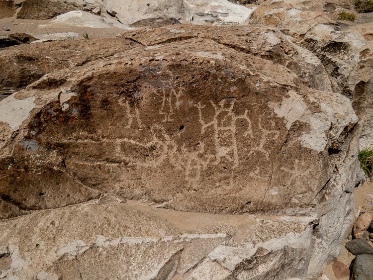
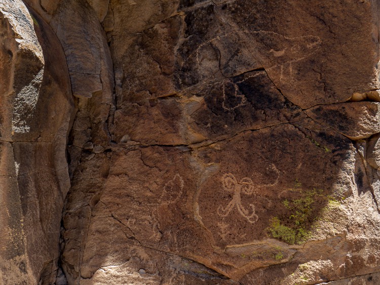
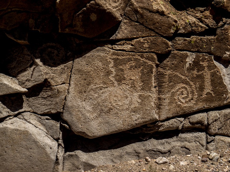
Petroglyphs were noted and initially thought to be bogus, but further review apparently supported their credibility.
Some of the descriptions of the trail remarked about “boulder scrambles”!!!
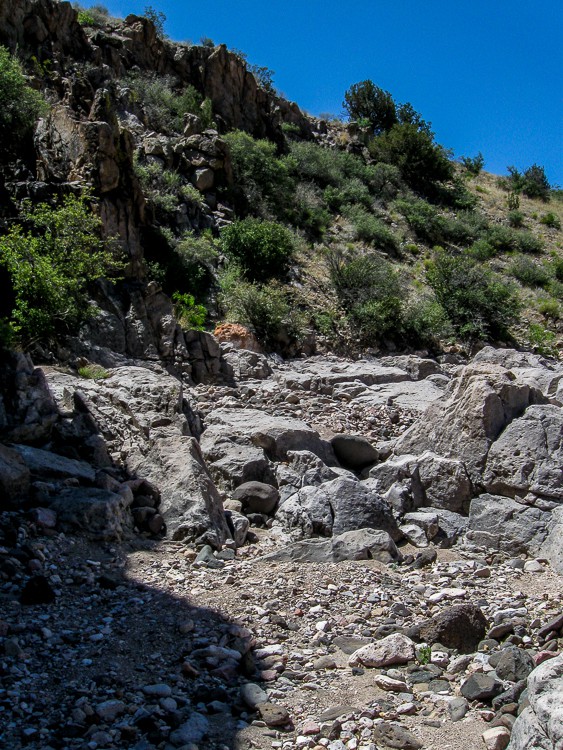
And perhaps this is a more dramatic version!
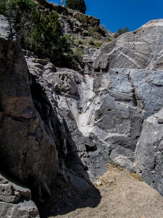
Nearly halfway into the floor of the canyon we noticed something partially buried in the sand of the canyon. Can you tell what it is?
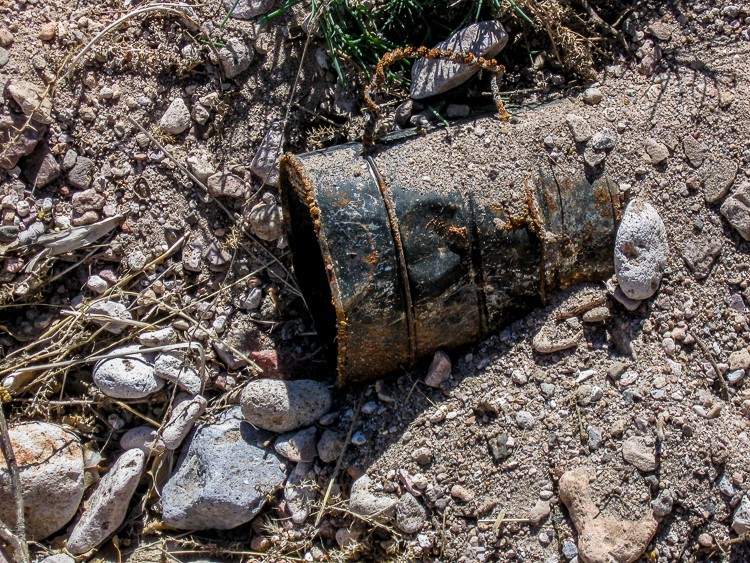
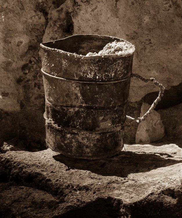
This handmade tin coffee mug was carefully exhumed for a photo, but then returned to the place and orientation it was originally found.
There were areas where the walls were high and the trail was narrow.
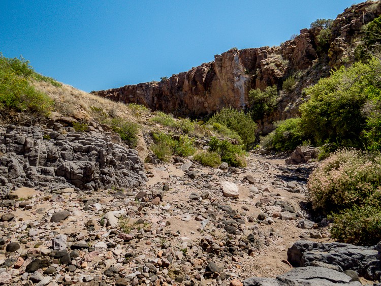
Other spots had a wide river bed that permitted easy walking.

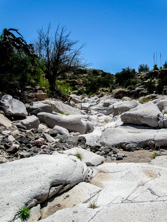
Valles Canyon connects with Broad Canyon. A 500 foot segue into this latter canyon was strewn with light colored boulders and rock formations.
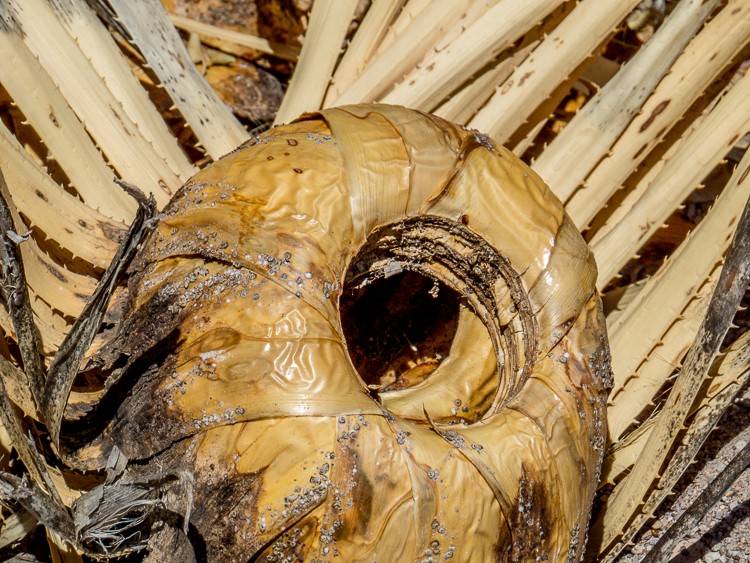
On the “long and winding road” back to the car, a section of a decayed Yucca holding water for insects and other small denizens was spotted.
There were more petroglyphs. Is that a whale on the top? A dinosaur?
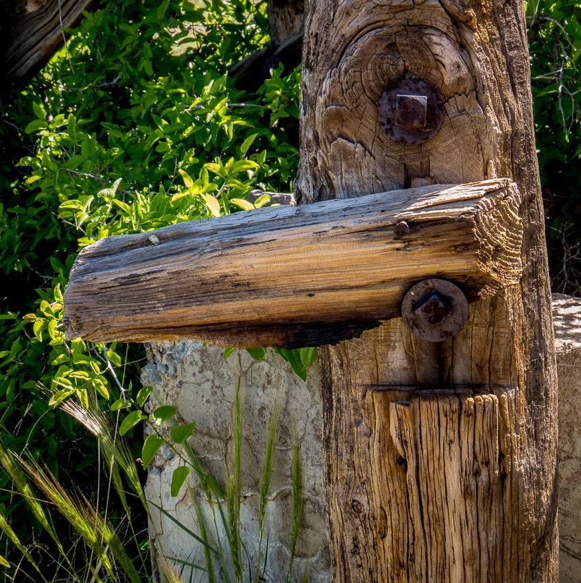
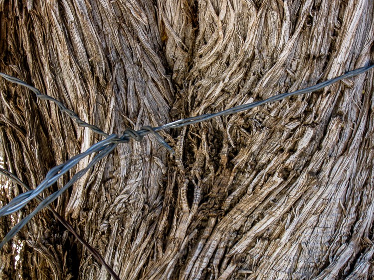
A barbed wire fence tied around a tree required some tricky negotiation to continue through the dry canyon riverbed.
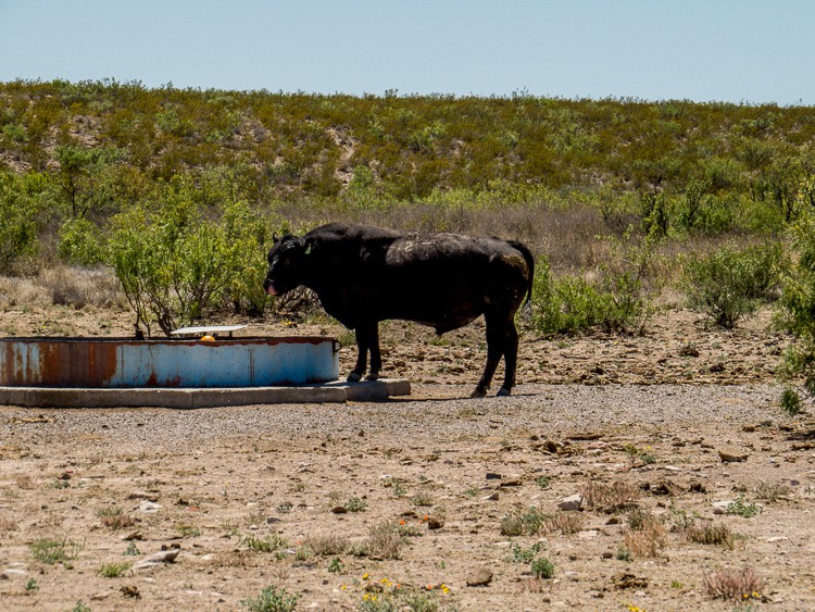
En route out of the canyon, a bull enjoyed a welcome drink oblivious to passing hikers.
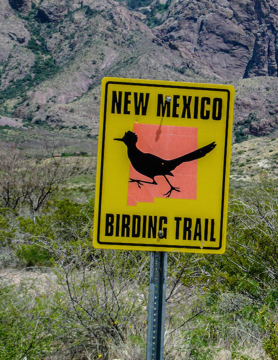
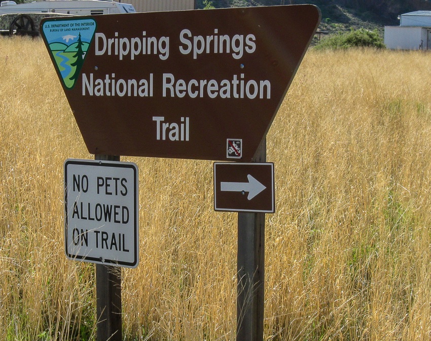
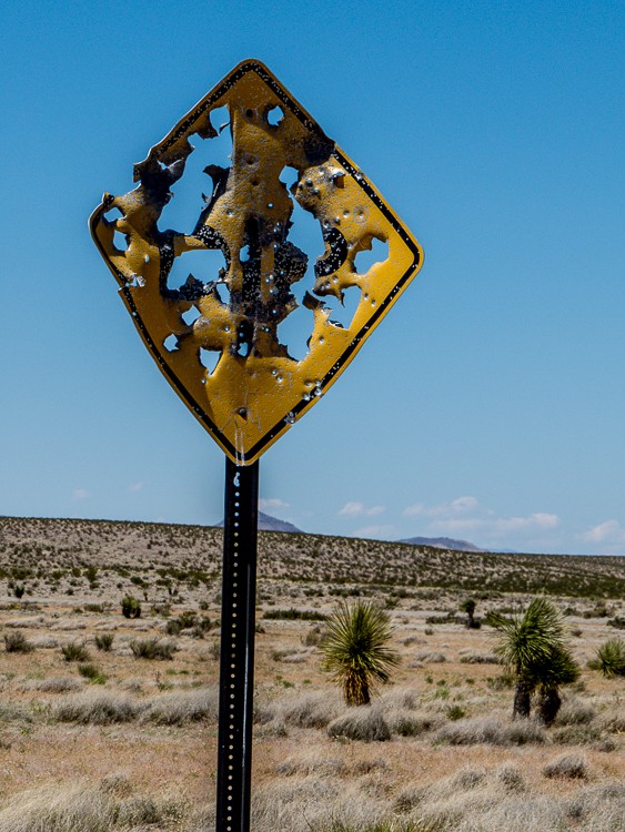
Leaving Valles Canyon, a sign caught our eye (and apparently many other things as well!!)
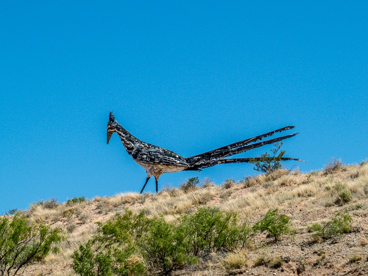
Heading back to Las Cruces on Route 10, a large statue of a Road Runner about 20-25 feet tall caught our attention! Being an enthusiastic bird watcher, I needed to have a picture!!
If you go, read these:
2012-09-09 Valles Canyon
Southern New Mexico Explorer – A blog about exploring the natural areas of New Mexico focusing on but not limited to Dona Ana, Luna, Otero, Sierra, Grant, Lincoln,Socorro and Catron counties.
JBRish.com originally published this post
