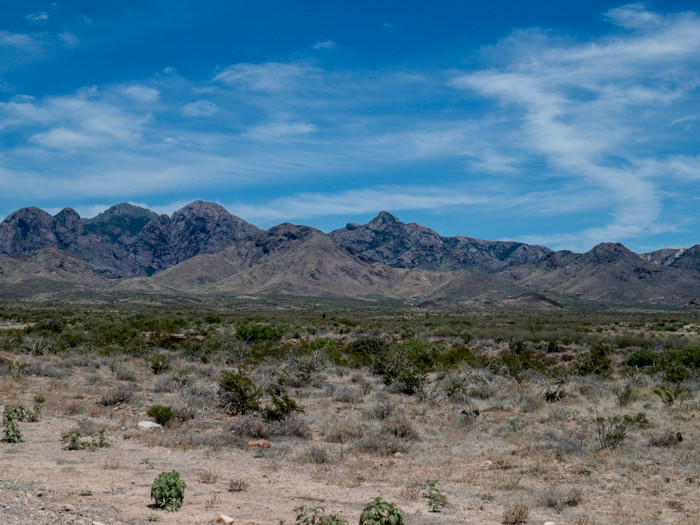
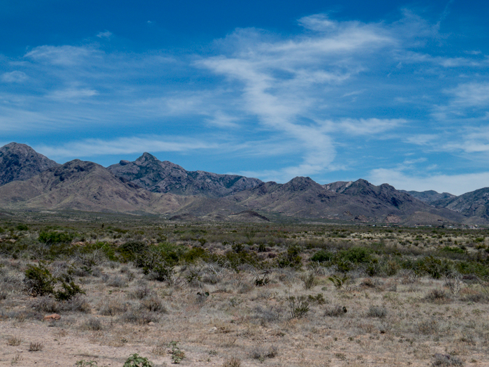
Birds of Las Cruces, NM

NOTE: To read more about one of the birds presented and to see an alternative picture, click the link associated with the name of the bird in the article below.


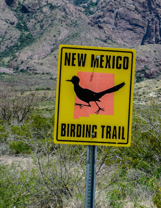
NM Birding Trail Sign

During our hiking visit to the Las Cruces, NM area, I was able to focus my attention on bird photography as well; forgive the pun.

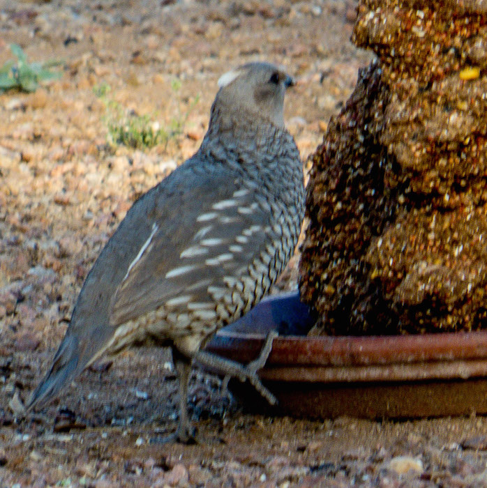
One bird that was a new sighting for me was a Scaled Quail.

Scaled Quail

I thought the pattern on the feathers was quite interesting.

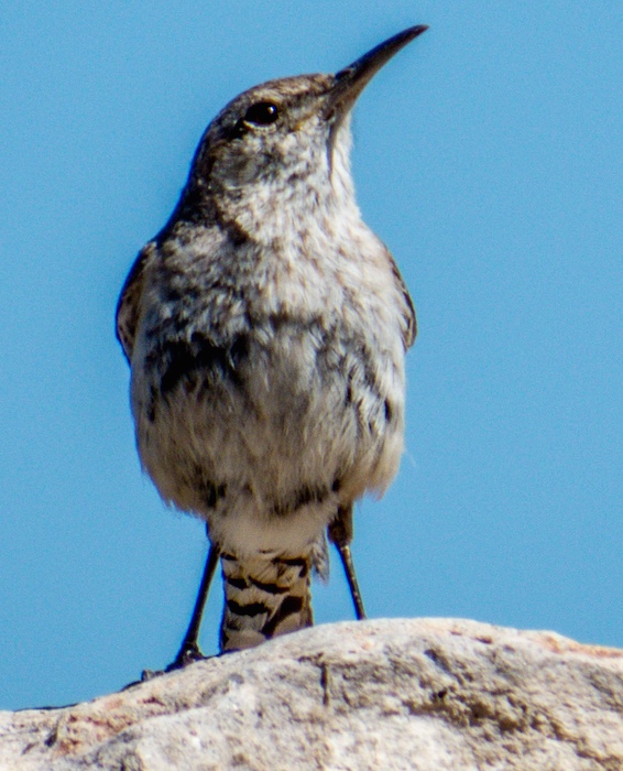
Hiking along a canyon wash, I spotted a bird atop a wall.

Rock Wren

It had a somewhat familiar look because, as I later found out, it is a relative of the Cactus Wren. It was a Rock Wren.

Rock Wren

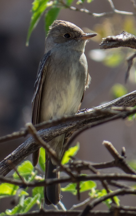
The smallish bird below sitting on a branch is a Western Wood-Pewee.

Western_Wood-Pewee

As a gust of wind came along I caught a shot of a Peewee from the other side.

Western_Wood-Pewee

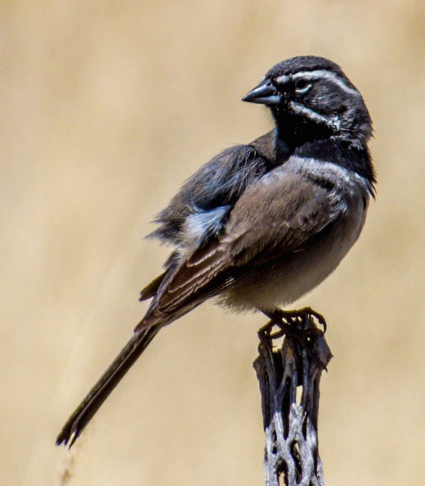
We also encountered a… Black-throated Sparrow

Black-throated_Sparrow

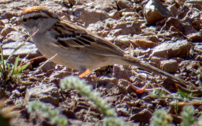
and a Chipping Sparrow as we made our way up and down the mountain trails.

Chipping Sparrow

At the nearby Mesilla Valley Bosque State Park we spotted additional birds

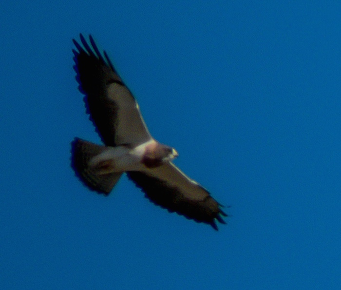
This Swainson’s Hawk was very high in the sky, but I did the best I could. The unique color pattern of the underside is a sure give away.

Swainson's Hawk

Several Barn Swallows were dodging in and out from under one of the roofs and the light was very dim, but this appeared to be a parent with some food for a nestling.

Barn Swallow

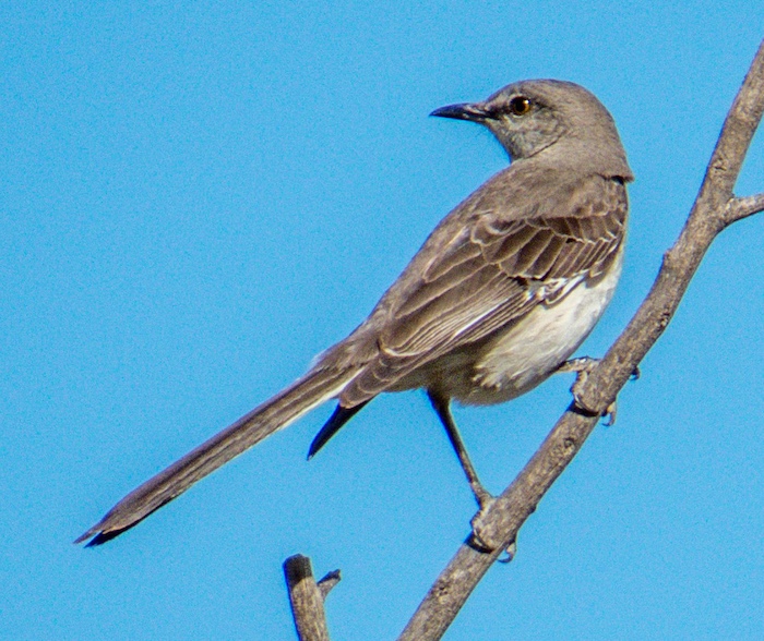
A Northern Mockingbird did not seem to mind as we moved in to get a closer look.

Northern Mockingbird

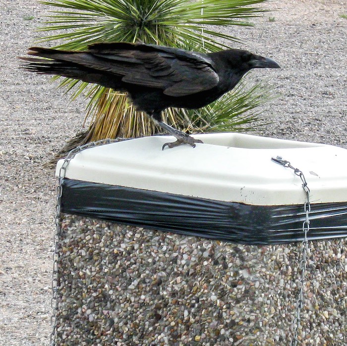
At a rest stop on the way home from Las Cruces this fellow was hopping from trash bin to trash bin looking for some goodies.

Chihuahuan Raven

Chihuahuan Raven

Lizards and Snakes of Las Cruces, New Mexico

Those who have been reading my blog for a while realize that I have a strong personal connection to nature. I am interested in other living things as well as a few that are not quite alive such as rocks. If I had it to do all over again, I would collect rocks. I have a few, but not many. Let me not digress.

As we hike along, I collect (via photographs) a record of the various species of insects, reptiles, birds, plants, etc. that we encounter. Some are new to me and some are found in unanticipated circumstances.

In our spring trip to Las Cruces, NM we encountered several interesting lizards and one snake. By way of sharing my interest in photographing these animals and the joy in the abundance and variety of nature, I am including several pictures below.

Many thanks to the Arizona Herpetological Association – AHA for their warm hospitality and support in helping me identify these specimens. I recommend their website and organization to anyone who is interested in southwest herpitology.*

 
Lets start with a popular lizard of which we saw many…

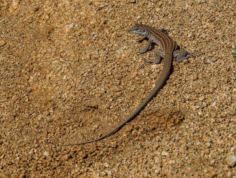
The Chihuahuan Spotted Whiptail (Aspidoscelis exsanguis)

The Chihuahuan Spotted Whiptail (Aspidoscelis exsanguis)

This fellow was particularly interesting because of his “racing stripes” along his side. Adidas and Nike have nothing on him.

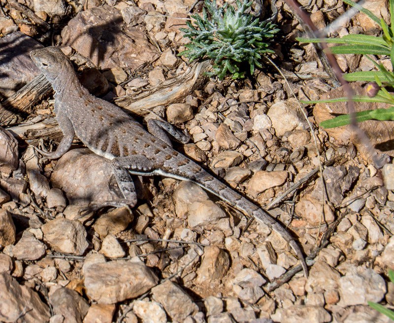
Greater Earless Male

Greater Earless Male (Holbrookia elegans)

This female appeared to be obviously pregnant.

Greater Earless Female

Greater Earless Female (Holbrookia elegans)

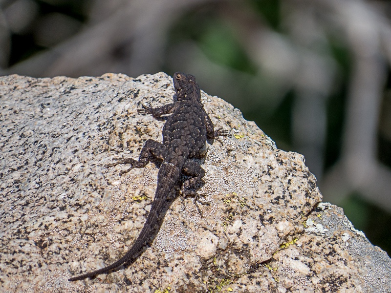
At quick glance, this looks like a pretty ho-hum specimen sitting on an ordinary rock, but…

Ornate Tree Lizard

Ornate Tree Lizard (Urosaurus ornatus)

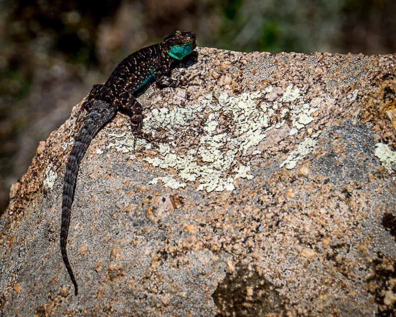
Look at that turquoise-like coloring under his chin and belly!

Ornate Tree Lizard

Ornate Tree Lizard (Urosaurus ornatus)

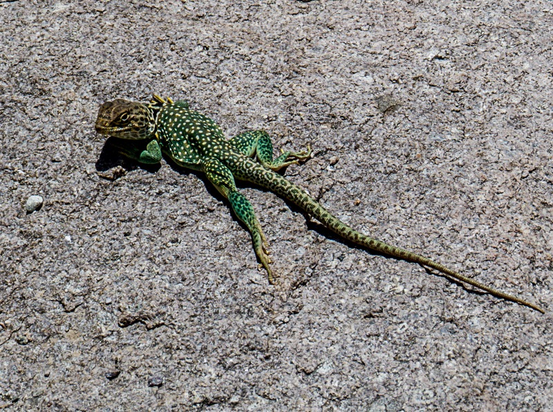
And let’s not forget a fellow we included in his own post here,

Eastern Collared Lizard

Eastern Collared Lizard (Crotaphytus collaris)

The only snake we encountered was an adventurous, long and thin Patch-nosed Snake.

Patch-nosed Snake

Patch-nosed Snake (Salvadora hexalepis)

The markings on this specimen were quite nice; two colors of brown, one tan and one near chocolate in shade.

Patch-nosed Snake

Patch-nosed Snake (Salvadora hexalepis) – close up

 
*If I have misidentified any of the reptiles in this post, please let me know and I will make the appropriate corrections.

.JBRish.com originally published this post

Valles Canyon – Sierra de las Uvas, NM

After several days of hiking the trails of the Organ Mountains-Desert Peaks (OMDP) National Monument, we headed for Valles Canyon located about 25 miles to the northwest. The hiking guide described it as slightly challenging, and would likely provide different terrain and vistas than the OMDP.

As cited on the websites below, there are dips in the road and warnings about flooding, but on this sunny (but very windy day) the roads were basically fine. (Note: Read the location directions carefully as Valles Canyon is somewhat tricky to find)

It was a bit of a trek from the parking area to the canyon itself. The road has some tire tracks and a number of rocky spots. Although there was evidence of 4×4’s use, rocks and high spots preclude the use of most vehicles
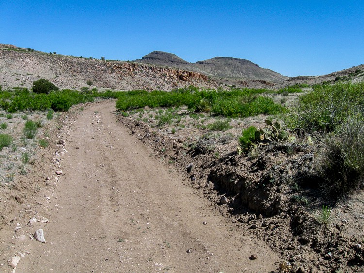
Road to the Canyon

One of the first landmarks that assured the accuracy of the trail was the correct one was a defunct windmill and nearby water basins.
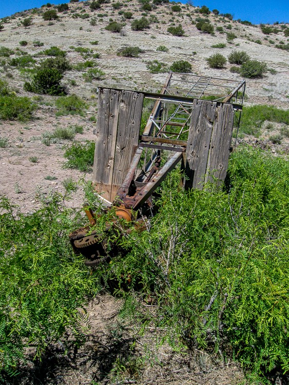
Defunct Windmill

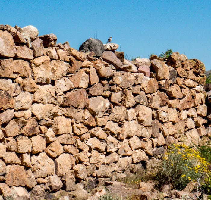
Old walls (ruins) now provide a nesting places for birds and (likely) other critters.
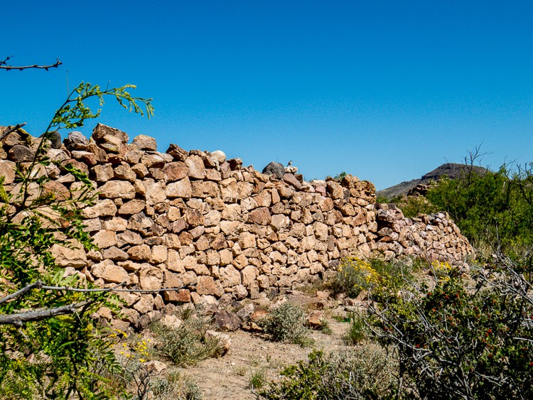
Rock wall ruin

Mountains surrounding the canyon provided an impressive backdrop of color and form.
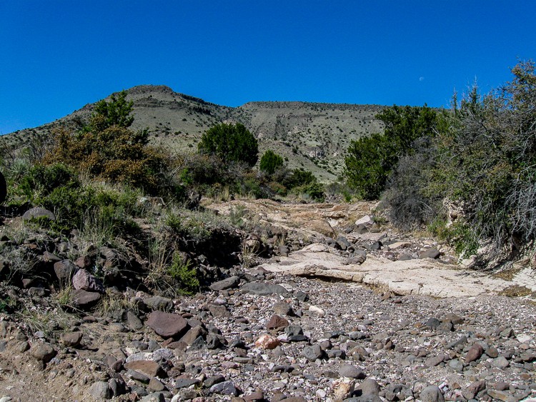
Vista near canyon start

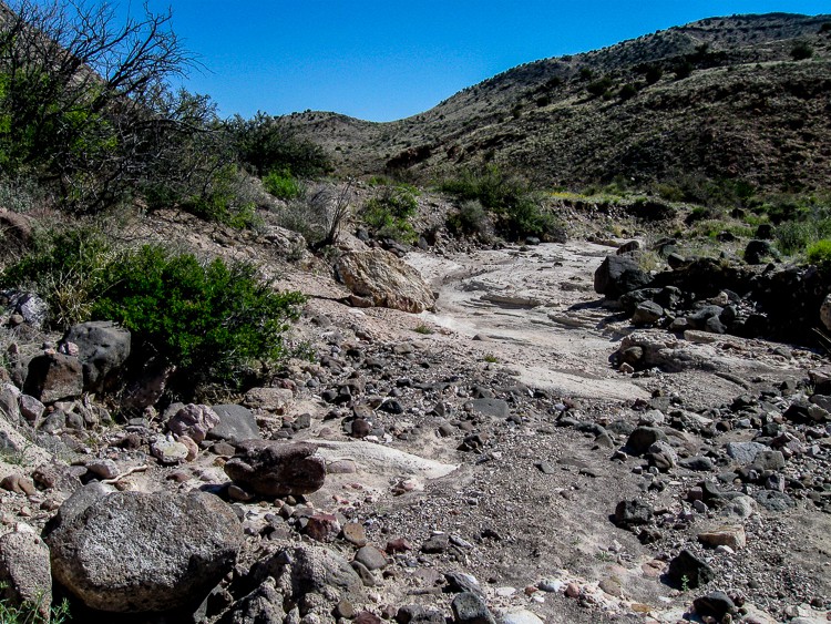
River bed canyon trail

The geology of the canyon was very interesting. Here is a wall of one of the side canyons. Notice how it is made of sand that is embedded with rocks of various shapes and sizes and several that are rather large.
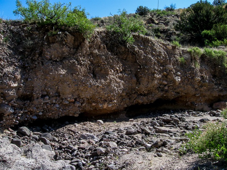
Canyon geology

There were times that the path was not obvious and required the “most likely this way” option. We generally mark a waypoint on our GPS so we can readily backtrack if necessary.
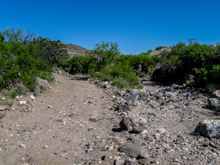
Path hard to discern at times

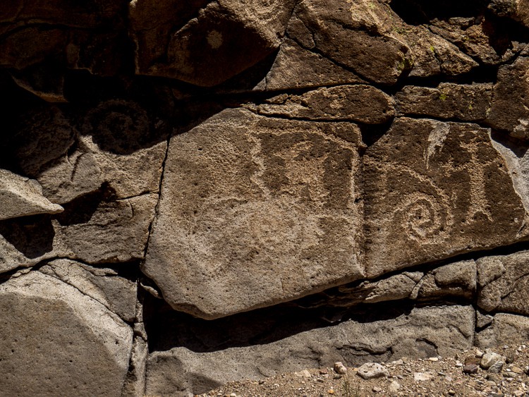
Petroglyphs were noted and initially thought to be bogus, but further review apparently supported their credibility.
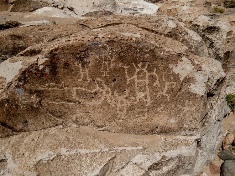
First of several petroglyphs

Some of the descriptions of the trail remarked about “boulder scrambles”!!!
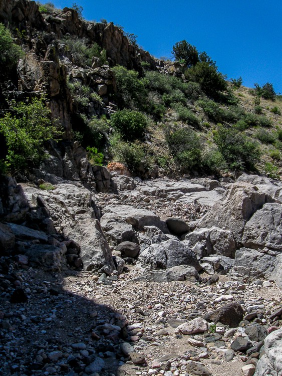
Boulders to climb over

And perhaps this is a more dramatic version!
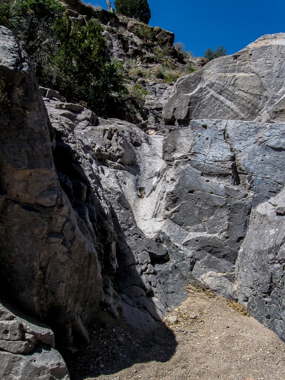
Narrow rock crevice to navigate

Nearly halfway into the floor of the canyon we noticed something partially buried in the sand of the canyon. Can you tell what it is?
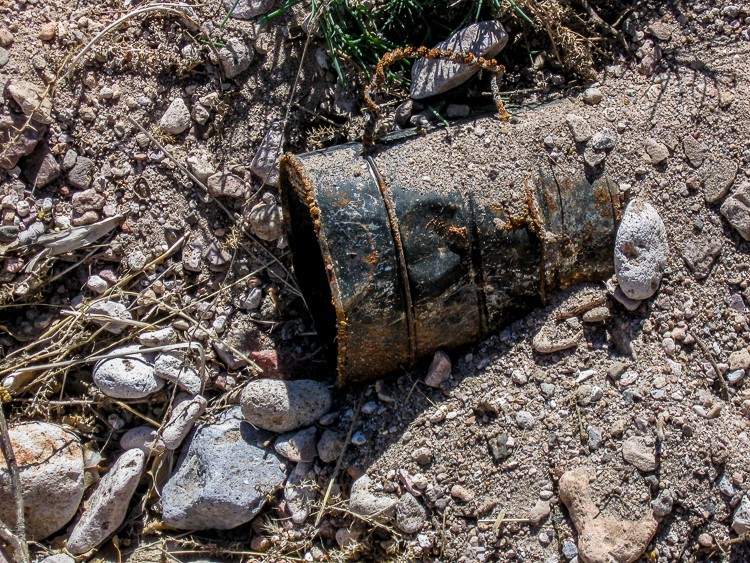
Buried tin coffee cup

This handmade tin coffee mug was carefully exhumed for a photo, but then returned to the place and orientation it was originally found.
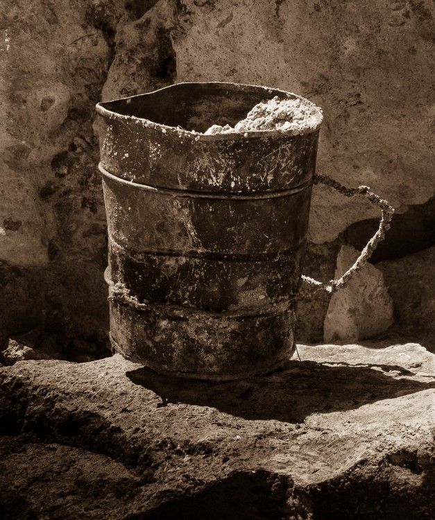
Artsy version of artifact

There were areas where the walls were high and the trail was narrow.
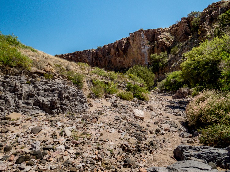
Steep canyon walls

Other spots had a wide river bed that permitted easy walking.

Wide riverbed trail

Valles Canyon connects with Broad Canyon. A 500 foot segue into this latter canyon was strewn with light colored boulders and rock formations.
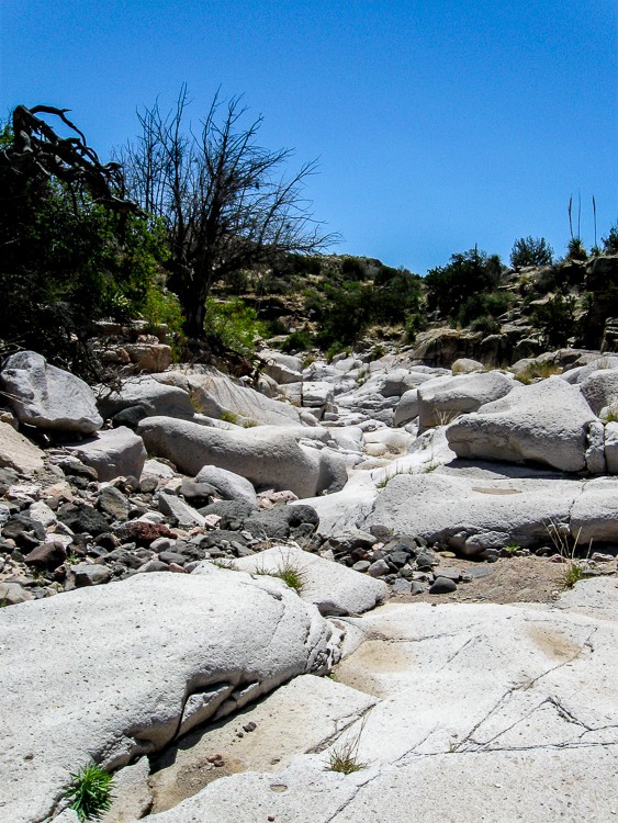
Where Broad Canyon meets Valles Canyon

On the “long and winding road” back to the car, a section of a decayed Yucca holding water for insects and other small denizens was spotted.
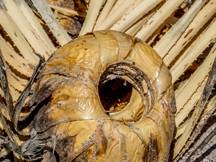
Part of a dead yucca

There were more petroglyphs. Is that a whale on the top? A dinosaur?
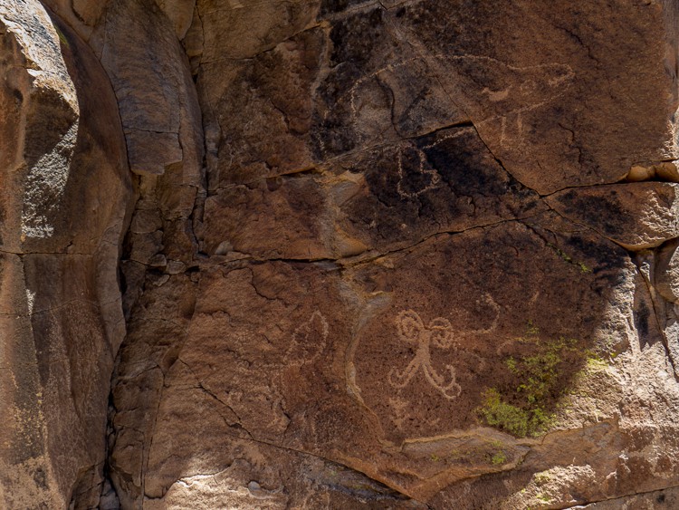
More petroglyphs

Still more petrogylphs

A barbed wire fence tied around a tree required some tricky negotiation to continue through the dry canyon riverbed.
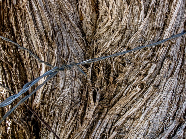
barbed wire to climb over
En route out of the canyon, a bull enjoyed a welcome drink oblivious to passing hikers.
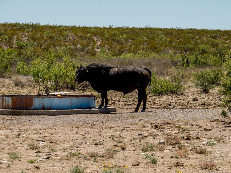
Thirsty bull drinking

Leaving Valles Canyon, a sign caught our eye (and apparently many other things as well!!)
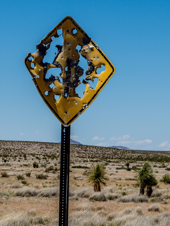
Bullet riddled sign

Heading back to Las Cruces on Route 10, a large statue of a Road Runner about 20-25 feet tall caught our attention! Being an enthusiastic bird watcher, I needed to have a picture!!
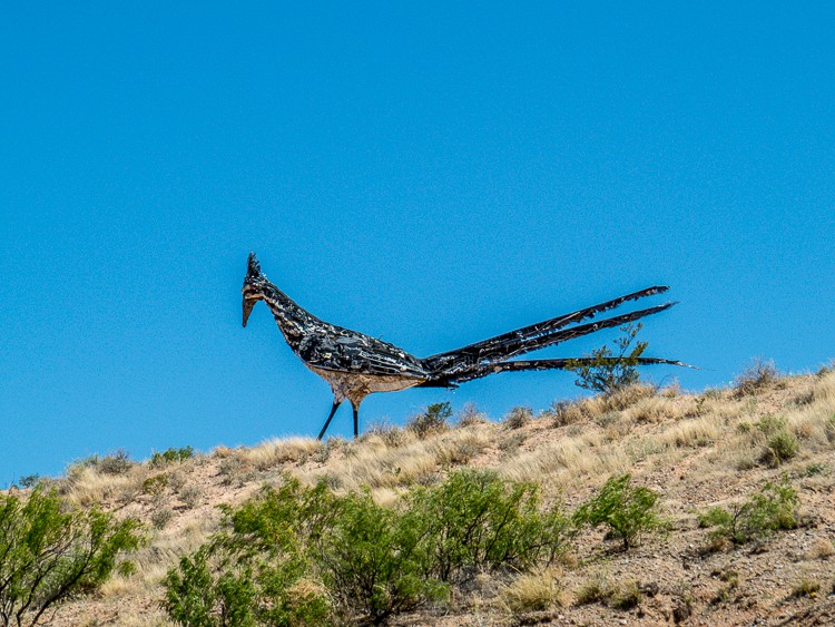
Large Road Runner Sculpture

If you go, read these:

2012-09-09 Valles Canyon

Southern New Mexico Explorer – A blog about exploring the natural areas of New Mexico focusing on but not limited to Dona Ana, Luna, Otero, Sierra, Grant, Lincoln,Socorro and Catron counties.


JBRish.com originally published this post
Dripping Springs Trail – OMDP NM, Las Cruces, NM

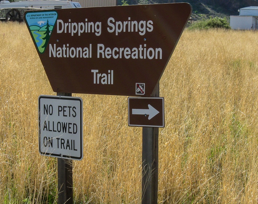
Dripping Springs National Rec. Area Sign

In early May my wife and I visited Las Cruces, New Mexico to hike in the surrounding mountains. One area of focus was the Organ Mountains-Desert Peaks National Monument which received this new federal designation about one year ago.

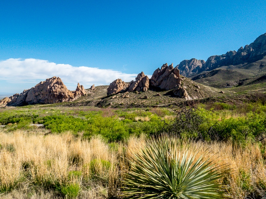
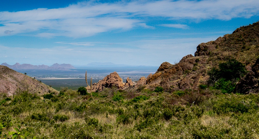
View of the surrounding mountains

This (pictured above) was one of the first views after leaving the visitor center. Las Cruces is to the left of the picture from this vantage point. We had no idea how well we would come to know these particular hills over the next several days.

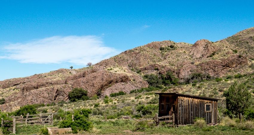
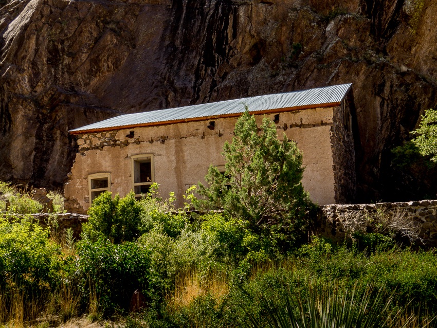
Livery and other buildings date back to the late 1800s

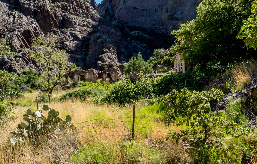
As we made our way toward the springs, wooden buildings that were erected in the late 1800s became visible. The fact that anything remains of them today considering weather, potential vandalism and the ravages of nature is remarkable enough.

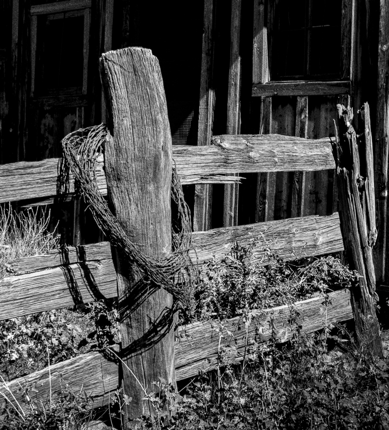
I couldn’t help myself in rendering this section of fence in what I hope is an appropriate black and white setting to pay homage to the past.

The structures were part of Van Patten’s Mountain Camp which included a historic hotel. These wooden buildings served as the stables, chicken coop, etc. for the resort. The hotel operated until the 1920’s. This area is now under the care of the Bureau of Land Management (BLM). The buildings have been stabilized, but remain fragile on site exploration by the public is not permitted.

The Mountain Camp hotel was a two-story, 14-room facility with dining and recreation facilities. The rock was harvested from the canyon and used to build the hotel. The resort was popular enough that in 1906, 18 more rooms were added.

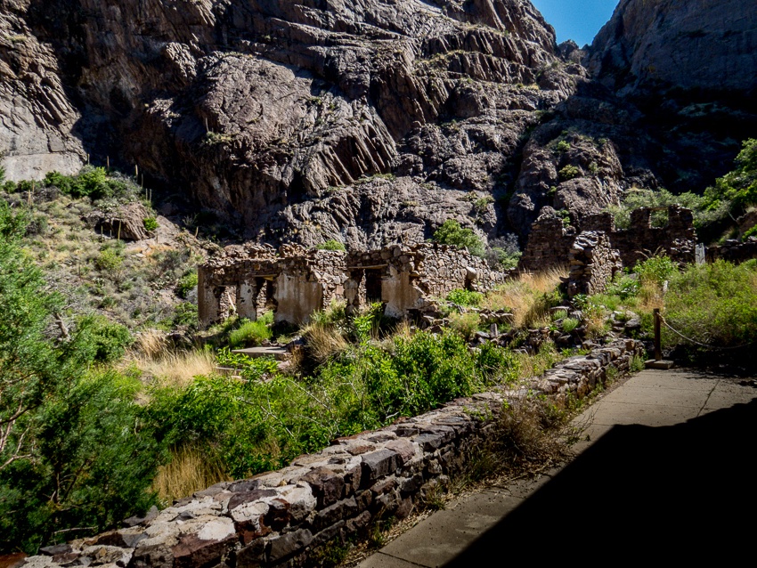
Ruins of the hotel as seen from the porch of the main building

This is a view from the porch of what was most likely the main building.

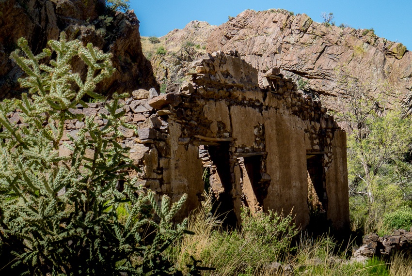
Ruins of the hotel as seen from the porch of the main building

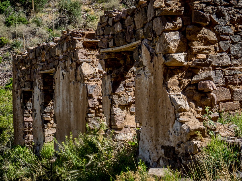
This is a closer view of the stabilized, but still precarious rock and mud walls of the hotel.

The resort was sold in 1915 to Dr. Nathan Boyd, a native of Illinois, who used it as a tuberculosis sanatorium. The property underwent a series of sales subsequently and in 1988 came under the jurisdiction of the BLM.

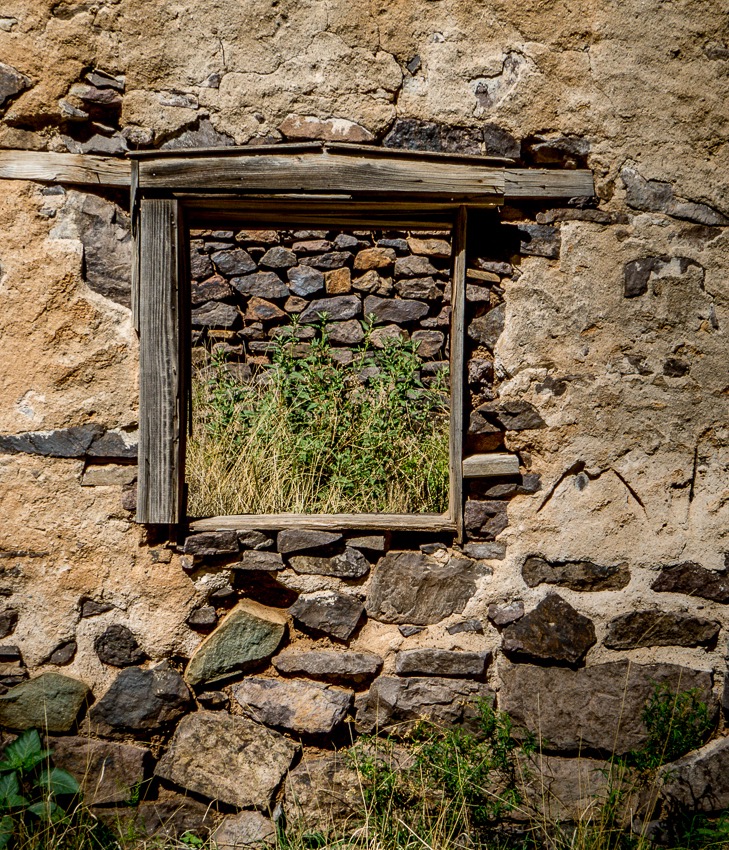
Time and nature have had their way with the ruins

ABOVE – Looking through the frame of what once was a window, we can see how time and nature are reclaiming the land as grass and weeds are now growing in a former interior space.

A series of old wall and window frames remain

These relics of the past stand as sentinels of yesteryear while they sadly greet modern hikers and nature lovers.

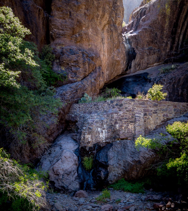
Below is a picture of the “dripping spring” which was running this day and threw off a fine mist as we approached the man-made rock wall which I suspect served as a type of dam.

The dripping spring from which the trail gets its name

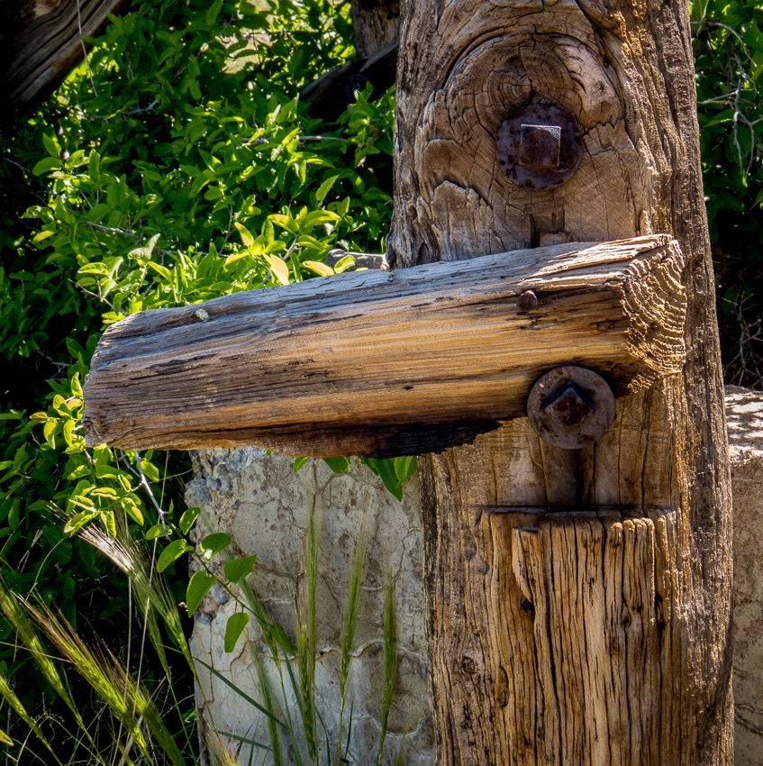
As we retraced our steps down the mountain trail towards the visitor center, we passed the stables again and I was drawn to this old fence post with rusted, yet quite functional bolts. If only it could talk!

Close up of fence post and hardware

We were treated to this vista of Las Cruces from near the junction of the Dripping Springs trail and the connecting path to Fillmore Canyon.

A final view as we descend from the Dripping Springs Trail

More of the New Mexico adventure will follow…

Learn more on your own:

Dripping Springs Natural Area – BLM

Las Cruces Off The Beaten Path

Lightroom 6 First Panorama – Las Cruces, NM

Readers of my blog may have noticed that I enjoy the outdoors, hiking, birding, etc. My wife and I were recently hiking in the recently created Organ Mountain-Desert Peaks National Monument in Las Cruces, New Mexico.

There were many excellent sightings that I hope to write about in the future, but for now I want to tell you about my very first attempt at creating a Panorama using Lightroom 6.

I have only been using LR for less than a year and I have been making progress in learning about the various tools. When LR 6 arrived with “built-in” panorama creation tools, I couldn’t wait to try it.

The Organ Mountains are very large and cannot be captured easily in one shot so I decided to create a Panorama.

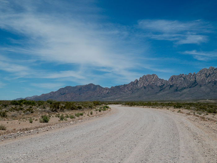
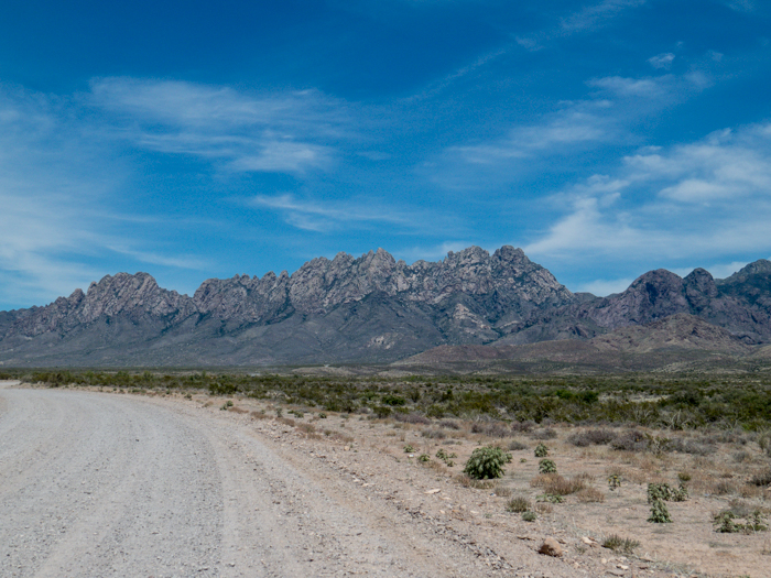
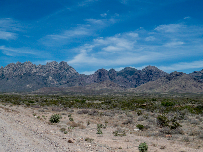
I took the following seven pictures with hopes of being able to “stitch” them together using LR.

Organ Mountains, Las Cruces, NM - Panorama Picture 1

Organ Mountains, Las Cruces, NM - Panorama Picture 2

Organ Mountains, Las Cruces, NM - Panorama Picture 3

Organ Mountains, Las Cruces, NM - Panorama Picture 4

Organ Mountains, Las Cruces, NM - Panorama Picture 5

Organ Mountains, Las Cruces, NM - Panorama Picture 6

Organ Mountains, Las Cruces, NM - Panorama Picture 7

I wasn’t sure exactly how to accomplish this task so I searched online and found Julieanne Kost’s blog post about it. She is an excellent and gifted instructor. I have used several of her videos before. If you are interested, you can watch her video below:

I heard that when doing a panorama, one should have about a 30% overlap and although I wasn’t too exact about this, I took a guestimation as I captured the various pictures while moving my camera as level as I could across the distant view.

Here is the final result via a thumbnail-ish rendering.

Organ Mountains, Las Cruces, NM - Panorama

You can see a large-sized image here at the link below:

Organ Mountains, Las Cruces, NM

The image needs a bit more editing, perhaps reducing the “noise” in the sky, etc., but I am pleased with my first attempt. Are you encouraged to try creating a panorama?