Year of Yosemite (YOY) – Day 5

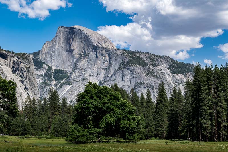
Half Dome as viewed from near the Tamarack Building (part of the Valley Lodge Complex)


Part of our lodging at Yosemite was at the Tamarack Building which is northeast of the Yosemite Valley Lodge amenities. There was a meadow just a short ten minute (+/-) walk a bit further northeast where I took the picture above. Half Dome is one of the iconic landmarks of Yosemite and it is pictured in many, many places and you will see it numerous times from different vantage points as part of the YOY project. As Yosemite visitors soon learn, it unexpectedly peaks out at visitors from numerous trails and vistas.

Half Dome Facts Courtesy of National Park Website

  • Half Dome Elevation: 8,842 feet (2,650 meters)
  • Total Elevation Gain: 4,800 feet (1,600 meters) from Yosemite Valley
  • Best Time to View: Early season when the waterfalls are at their fullest from snowmelt.
  • Hiking the Half Dome is a 14-16-mile round trip and takes about 10-12 hours. There are cables along the last 400 feet of the climb to the summit and the cables and [sic] unsafe in inclement weather and if not used with care. Permits are required to climb Half Dome.


JBRish.com originally published this post
*All photographs Copyright by Jeffrey B. Ross with all rights reserved.

 
See previous Year of Yosemite (YOY) posts HERE. If you want to read the introduction to the YOY series, that can be found HERE.

***********************************

Meta Data – Day 5 YOY – Year of Yosemite

File Name: 000025_DSC_0154.NEF
Capture time: 3:29:02 PM
Capture date: June 5, 2016
Exposure: 1/100 sec @ f/14
Focal Length: 40mm
ISO 100
Nikon D3300
Year of Yosemite (YOY) – Day 4

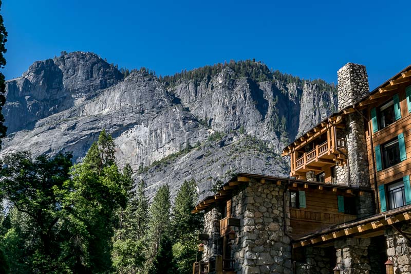
Yosemite's Majestic Yosemite Hotel

“The Majestic Yosemite Hotel (formerly the Ahwahnee) with surrounding mountains is highly rated by AAA”

The Majestic Hotel is one of the iconic landmarks within the boundaries of Yosemite. It certainly is beautiful in its rustic way and is considered first class for the park. The grounds are very picturesque and as you can see, the surrounding area is noteworthy.


JBRish.com originally published this post
*All photographs Copyright by Jeffrey B. Ross with all rights reserved.

 
See previous YOY – Year of Yosemite posts HERE. If you want to read the introduction to the YOY series, that can be found HERE.

***********************************

Meta Data – Day 4 YOY – Year of Yosemite

File Name: 000025_DSC_0132.NEF
Capture time: 8:57:56 AM
Capture date: June 5, 2016
Exposure: 1/50 sec @ f/14
Focal Length: 27mm
ISO 100
Nikon D3300
Year of Yosemite (YOY) – Day 3

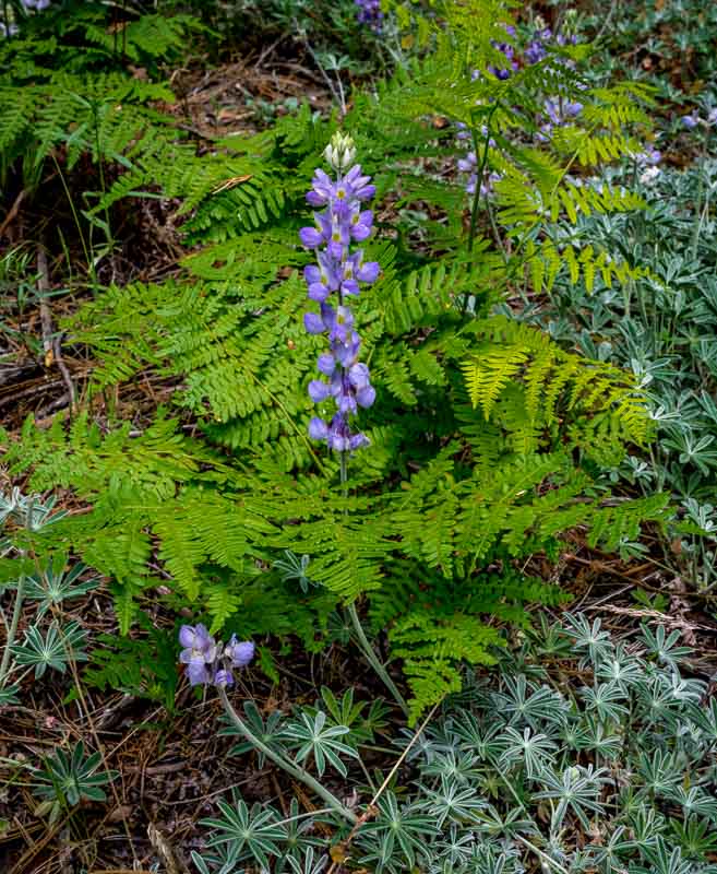
Lupines growing near the path of the Valley Loop Trail

“Hiking along the trails and roads of Yosemite in June, we found an array of wildflowers and colorful plants.”

As we walked along the trails, wildflowers arose before us in abundance. Here is a lupine nestled among the shade of the trees and leaves of a fern.


JBRish.com originally published this post
*All photographs Copyright by Jeffrey B. Ross with all rights reserved.


See previous Year of Yosemite (YOY) posts HERE. If you want to read the introduction to the YOY series, that can be found HERE.

***********************************

Meta Data – Day 3 YOY – Year of Yosemite

File Name: 000025_DSC_0318.NEF
Capture time: 12:18:07 AM/PM
Capture date: June 8, 2016
Exposure: 1/60 sec @ f/13
Focal Length: 32mm
ISO 400
Nikon D3300

Year of Yosemite (YOY) – Day 2

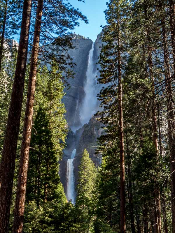
Yosemite Falls as seen near ths start of the Valley Loop Trail

“Yosemite Falls as seen near the start of the Valley Loop Trail – Early Morning”

We happened to visit Yosemite during one of the better years for water displays. The waterfalls, and there are quite a few, were flowing strongly as were the rivers and rivulets.


JBRish.com originally published this post
*All photographs Copyright by Jeffrey B. Ross with all rights reserved.

 
See previous YOY – Year of Yosemite posts HERE. To read the introduction to the YOY series, that can be found HERE.

***********************************

Meta Data – Day 2 YOY – Year of Yosemite

File Name: 000025_IMG_0264.CR2
Capture time: 7:45:05 AM
Capture date: June 5, 2016
Exposure: 1/25 sec @ f/8.0
Focal Length: 9.32mm
ISO 100
Canon PowerShot SX50 HS

Year of Yosemite (YOY) – Day 1

Introduction to YOY

I don’t have much of a bucket list, but there are a few things I would like to do and see while I still have the opportunity. My wife and I like to hike. Well, let’s change that..we like to explore and see things which often involves hiking. Hiking isn’t our goal. Enjoying nature and discovering the earth’s beauty is our goal.

An additional interest for me, as we wander and wonder, is photography. I am an opportunistic photographer. I try to discover interesting, scenic and beautiful things as part of my exploratory process. I must confess that I don’t usually get up at the crack of dawn or remain on the photographic quest until the evening golden or blue hours.

What I enjoy about my photography is the search for a compelling scene under whatever conditions I might find myself facing. All of this is a round about way of saying that we finally made it to Yosemite National Park even though that isn’t it’s real name anymore since the renaming fiasco related to a contract dispute with Delaware North and the new managing company Yosemite Hospitality, LLC, but lets not go there; at least not at this point.

I would like to share a year of pictures that we took during our visit to Yosemite. I will try not to repeat any of the photographs, but keep in mind that I did take many, many photographs of the iconic areas of Yosemite (National Park) You may think you have seen a particular picture before, but I will include reference information just to be on the “up and up!” I will TRY not to repeat any pictures so dear readers you can keep me on my toes.

TECHNICAL NOTE (added June 26, 2016) – While I generally use the RAW photography format for initial capture of a scene, pictures are converted to JPEG/JPG for purposes of posting. File names provided in the Meta Data below each photograph are those of the original image before being converted to JPG format. Some shots were taken in the JPEG format initially and will be so noted.

YOY – Day 1

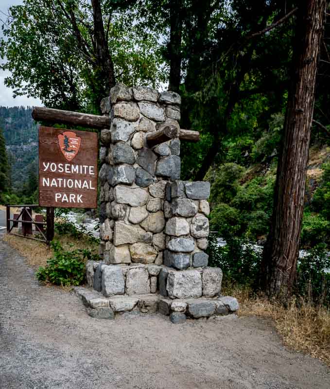
Yosemite National Park Sign, El Portal, CA
“Yosemite National Park Sign, El Portal, CA – Route 140”


This picture was taken on one of the few overcast days we had during our week-long stay in an around Yosemite National Park.

***********************************
Meta Data – Day 1 YOY – Year of Yosemite

File Name: 000025_DSC_0428.NEF
Capture time: 4:22:40 PM
Capture date: June 10, 2016
Exposure: 1/60 sec @ f/16
Focal Length: 18mm
ISO 280
Nikon D3300
***********************************

See All (YOY) – Year of Yosemite posts thus farHERE

Video – The Yin and the Yang of Nature’s Struggle

“In Chinese philosophy, yin and yang (also yin-yang or yin yang, 陰陽 yīnyáng “dark—bright”) describes how opposite or contrary forces are actually complementary, interconnected, and interdependent in the natural world, and how they give rise to each other as they interrelate to one another.”

Via 

From Near Birth to Death – The Struggle in Nature


See previous Nature entries HERE

Or Additional Vide-Ohs HERE

Dripping Springs Trail – OMDP NM, Las Cruces, NM

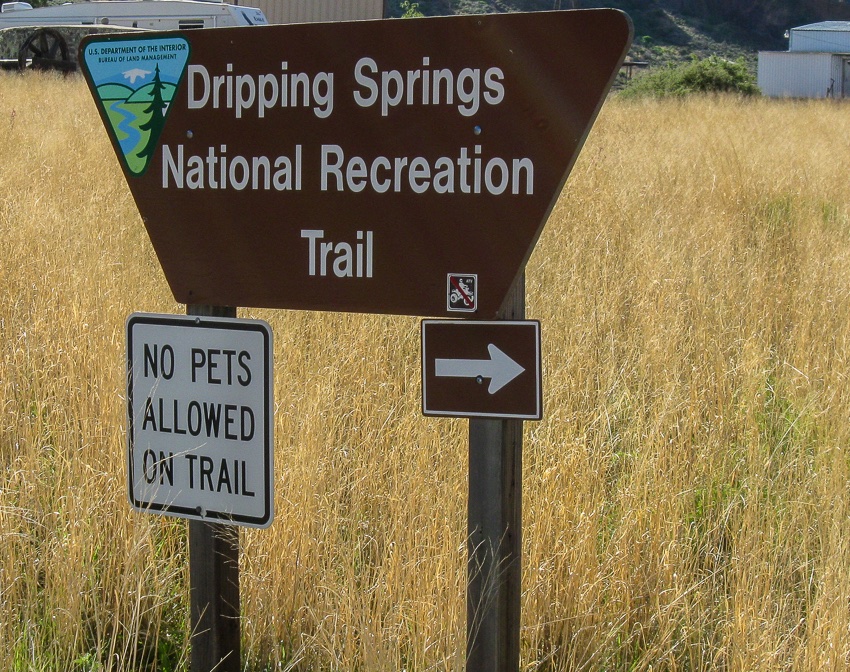
Dripping Springs National Rec. Area Sign

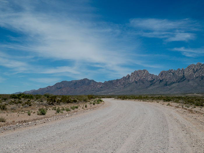
In early May my wife and I visited Las Cruces, New Mexico to hike in the surrounding mountains. One area of focus was the Organ Mountains-Desert Peaks National Monument which received this new federal designation about one year ago.

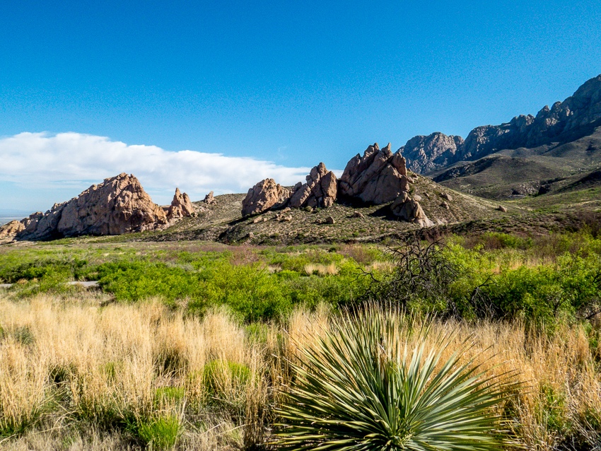
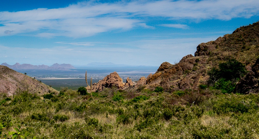
View of the surrounding mountains

This (pictured above) was one of the first views after leaving the visitor center. Las Cruces is to the left of the picture from this vantage point. We had no idea how well we would come to know these particular hills over the next several days.

Livery and other buildings date back to the late 1800s

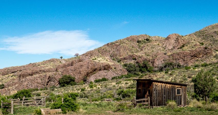
As we made our way toward the springs, wooden buildings that were erected in the late 1800s became visible. The fact that anything remains of them today considering weather, potential vandalism and the ravages of nature is remarkable enough.

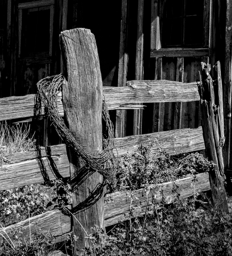
I couldn’t help myself in rendering this section of fence in what I hope is an appropriate black and white setting to pay homage to the past.

The structures were part of Van Patten’s Mountain Camp which included a historic hotel. These wooden buildings served as the stables, chicken coop, etc. for the resort. The hotel operated until the 1920’s. This area is now under the care of the Bureau of Land Management (BLM). The buildings have been stabilized, but remain fragile on site exploration by the public is not permitted.

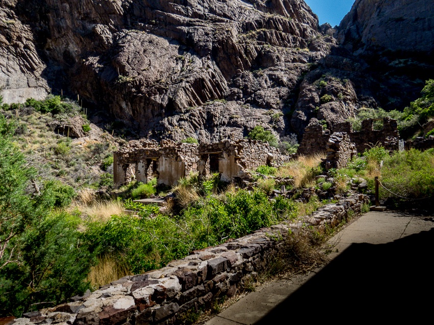
The Mountain Camp hotel was a two-story, 14-room facility with dining and recreation facilities. The rock was harvested from the canyon and used to build the hotel. The resort was popular enough that in 1906, 18 more rooms were added.

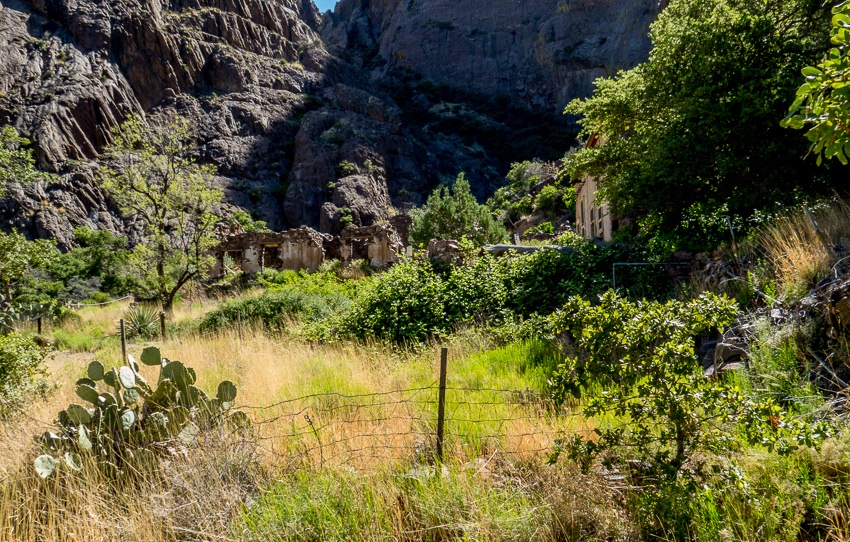
Ruins of the hotel as seen from the porch of the main building

This is a view from the porch of what was most likely the main building.

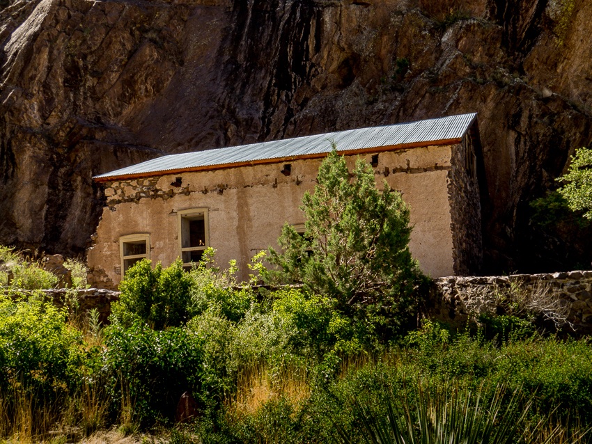
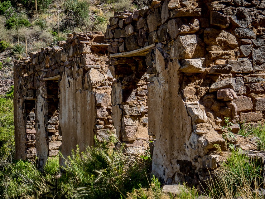
Ruins of the hotel as seen from the porch of the main building

This is a closer view of the stabilized, but still precarious rock and mud walls of the hotel.

The resort was sold in 1915 to Dr. Nathan Boyd, a native of Illinois, who used it as a tuberculosis sanatorium. The property underwent a series of sales subsequently and in 1988 came under the jurisdiction of the BLM.

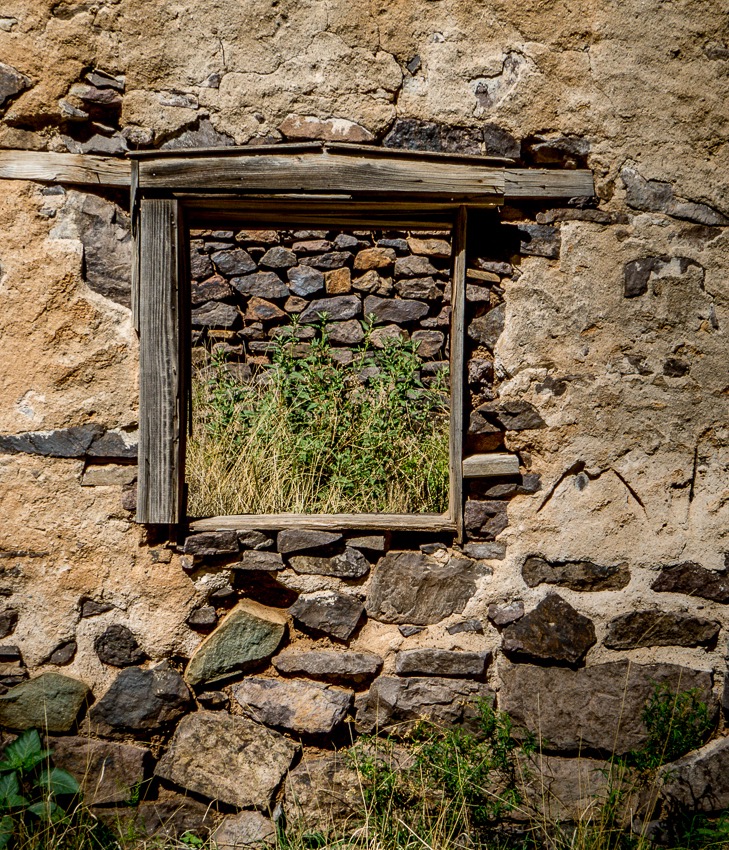
Time and nature have had their way with the ruins

ABOVE – Looking through the frame of what once was a window, we can see how time and nature are reclaiming the land as grass and weeds are now growing in a former interior space.

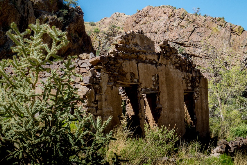
A series of old wall and window frames remain

These relics of the past stand as sentinels of yesteryear while they sadly greet modern hikers and nature lovers.

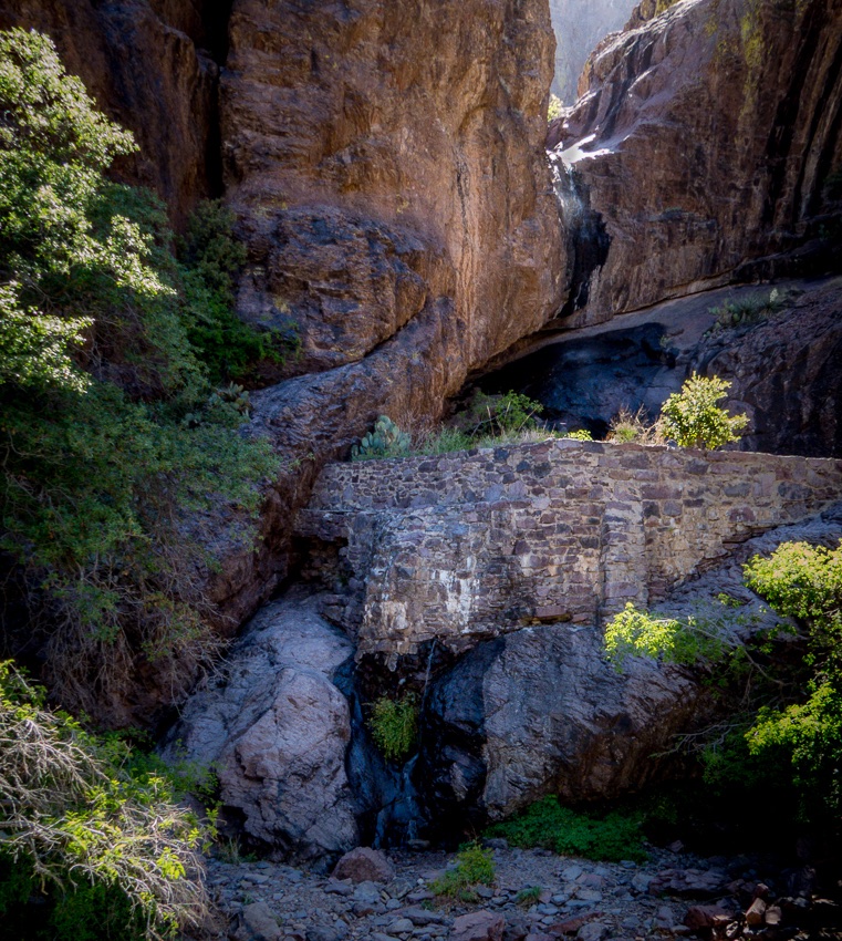
Below is a picture of the “dripping spring” which was running this day and threw off a fine mist as we approached the man-made rock wall which I suspect served as a type of dam.

The dripping spring from which the trail gets its name

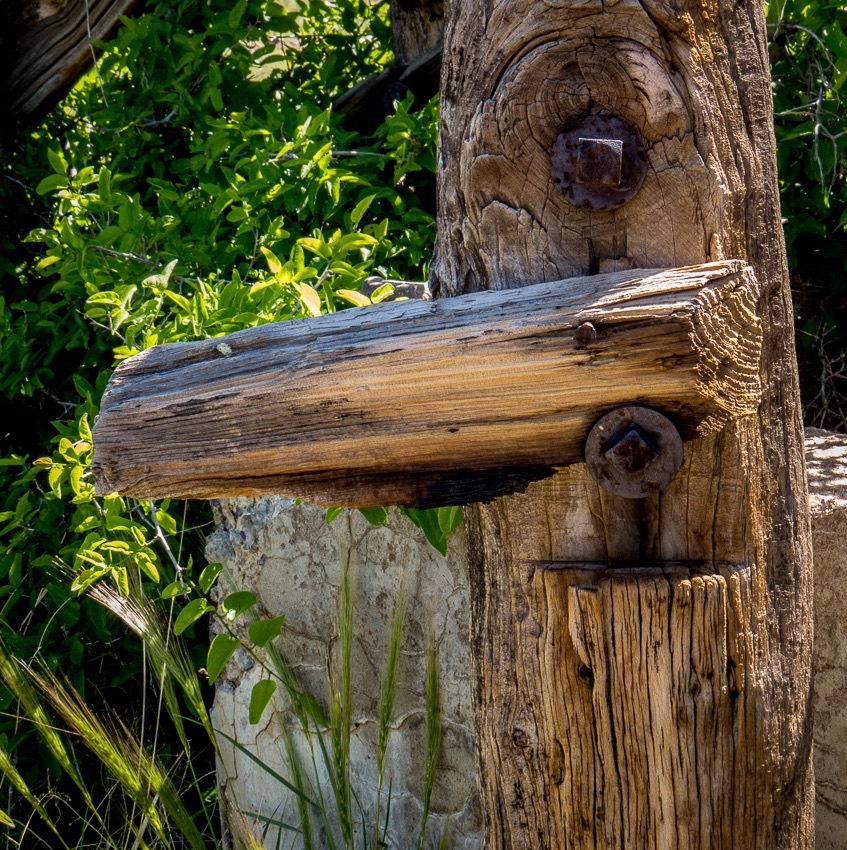
As we retraced our steps down the mountain trail towards the visitor center, we passed the stables again and I was drawn to this old fence post with rusted, yet quite functional bolts. If only it could talk!

Close up of fence post and hardware

We were treated to this vista of Las Cruces from near the junction of the Dripping Springs trail and the connecting path to Fillmore Canyon.

A final view as we descend from the Dripping Springs Trail

More of the New Mexico adventure will follow…

Learn more on your own:

Dripping Springs Natural Area – BLM

Las Cruces Off The Beaten Path

Lightroom 6 First Panorama – Las Cruces, NM

Readers of my blog may have noticed that I enjoy the outdoors, hiking, birding, etc. My wife and I were recently hiking in the recently created Organ Mountain-Desert Peaks National Monument in Las Cruces, New Mexico.

There were many excellent sightings that I hope to write about in the future, but for now I want to tell you about my very first attempt at creating a Panorama using Lightroom 6.

I have only been using LR for less than a year and I have been making progress in learning about the various tools. When LR 6 arrived with “built-in” panorama creation tools, I couldn’t wait to try it.

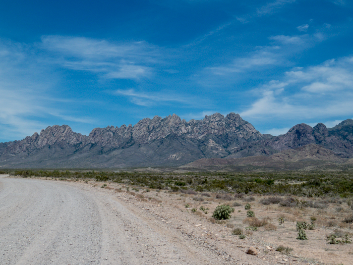
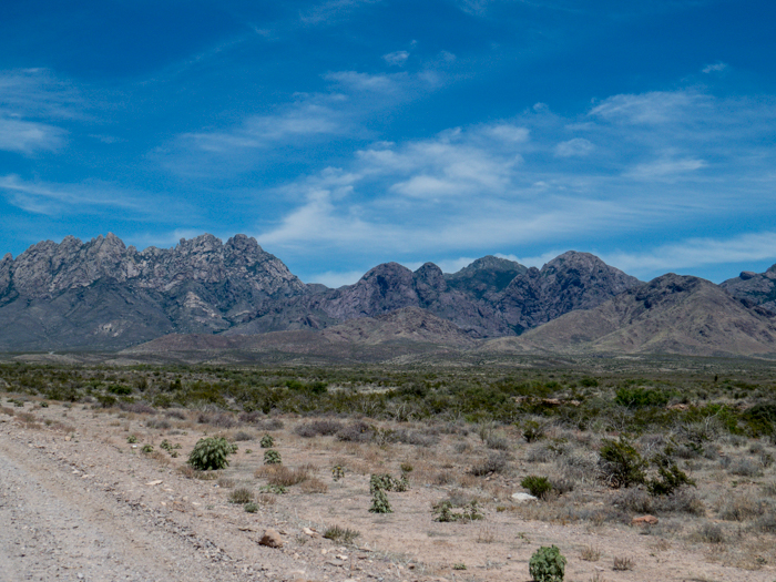
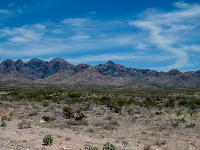
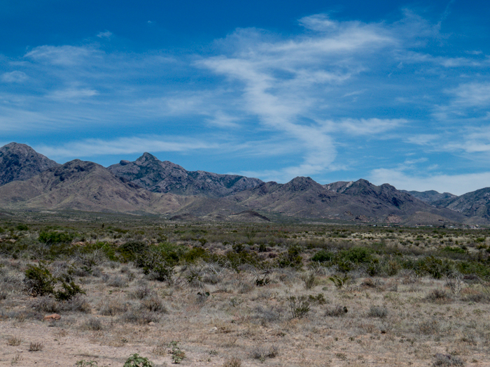
The Organ Mountains are very large and cannot be captured easily in one shot so I decided to create a Panorama.

I took the following seven pictures with hopes of being able to “stitch” them together using LR.

Organ Mountains, Las Cruces, NM - Panorama Picture 1

Organ Mountains, Las Cruces, NM - Panorama Picture 2

Organ Mountains, Las Cruces, NM - Panorama Picture 3

Organ Mountains, Las Cruces, NM - Panorama Picture 4

Organ Mountains, Las Cruces, NM - Panorama Picture 5

Organ Mountains, Las Cruces, NM - Panorama Picture 6

Organ Mountains, Las Cruces, NM - Panorama Picture 7

I wasn’t sure exactly how to accomplish this task so I searched online and found Julieanne Kost’s blog post about it. She is an excellent and gifted instructor. I have used several of her videos before. If you are interested, you can watch her video below:

I heard that when doing a panorama, one should have about a 30% overlap and although I wasn’t too exact about this, I took a guestimation as I captured the various pictures while moving my camera as level as I could across the distant view.

Here is the final result via a thumbnail-ish rendering.

Organ Mountains, Las Cruces, NM - Panorama

You can see a large-sized image here at the link below:

Organ Mountains, Las Cruces, NM

The image needs a bit more editing, perhaps reducing the “noise” in the sky, etc., but I am pleased with my first attempt. Are you encouraged to try creating a panorama?