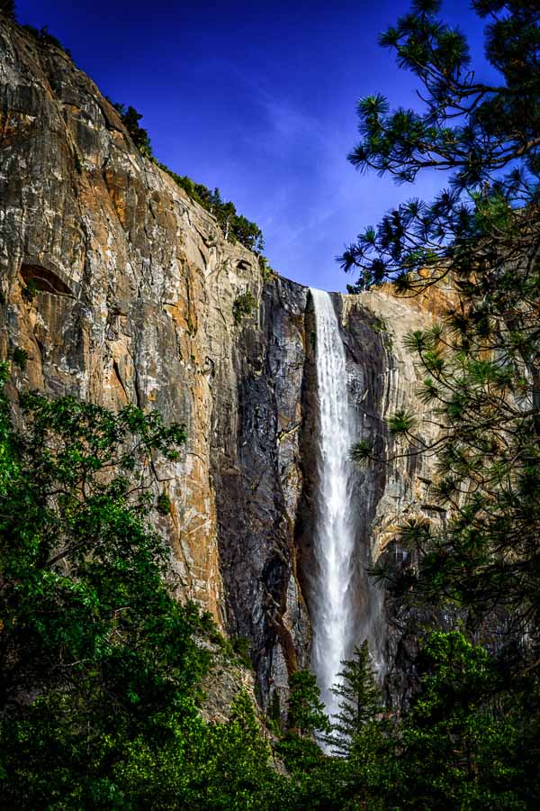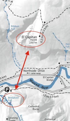
Across the “way” from El Capitan is another beautiful feature, Bridalveil Falls. If you look at the map below, you can see that they are almost directly opposite one another and while it looks like quite a distance on the map, from the road, they are relatively close. Parking can be tight at this location because visitors stop to take photographs of both iconic scenes.

On the map above, El Capitan and Bridalveil Falls are circled with an arrow pointing to each.
NOTE: Insert above is taken from the National Park Service Yosemite Valley Hiking Map
Do you have a question about our visit to Yosemite? Ask it in the comment section.
*All photographs Copyright by Jeffrey B. Ross with all rights reserved.
See previous Year of Yosemite (YOY) posts HERE. If you want to read the introduction to the YOY series, CLICK HERE.
***********************************
Meta Data – Day 43 YOY – Year of Yosemite
File Name: 0264.NEF
Capture time: 6:31:48 PM
Capture date: June 7, 2016
Exposure: 1/60 sec @ f/16
Focal Length: 50mm
ISO 100
Nikon D3300