Hiking: Bootleggers Trail, Scottsdale, Arizona

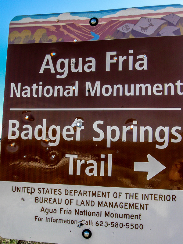
  • Address: 31402 N. 136th St., Scottsdale, AZ
  • Hours: Sunrise to sunset daily
  • Amenities: Passenger vehicle and horse trailer parking. NO RESTROOMS OR WATER

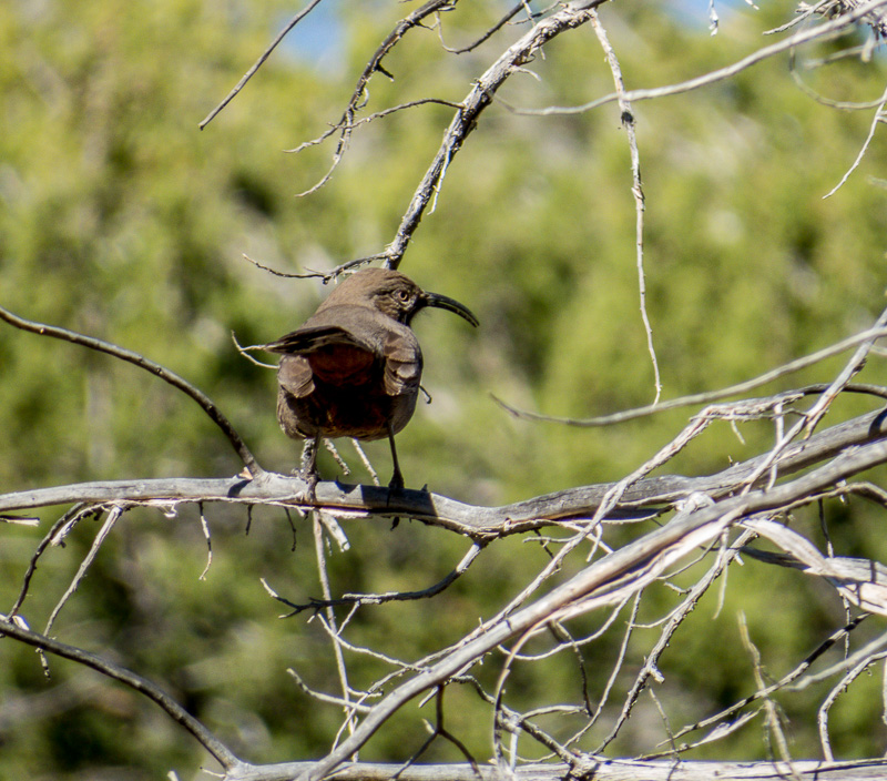
A couple of days ago I wrote about capturing my first “decent” photograph of a Phainopepla while hiking along the Bootlegger Trail off of the Granite Mountain Trailhead which is part of the McDowell Mountain Preserve in Scottsdale, Arizona.

Kudos to the citizens of Scottsdale for fostering efforts to support the acquisition of desert lands to be kept in their natural desert form. As you may imagine the population growth in the southwest is booming and native desert is disappearing fast. Land put aside to remain undeveloped is a treasure that can be enjoyed by everyone.

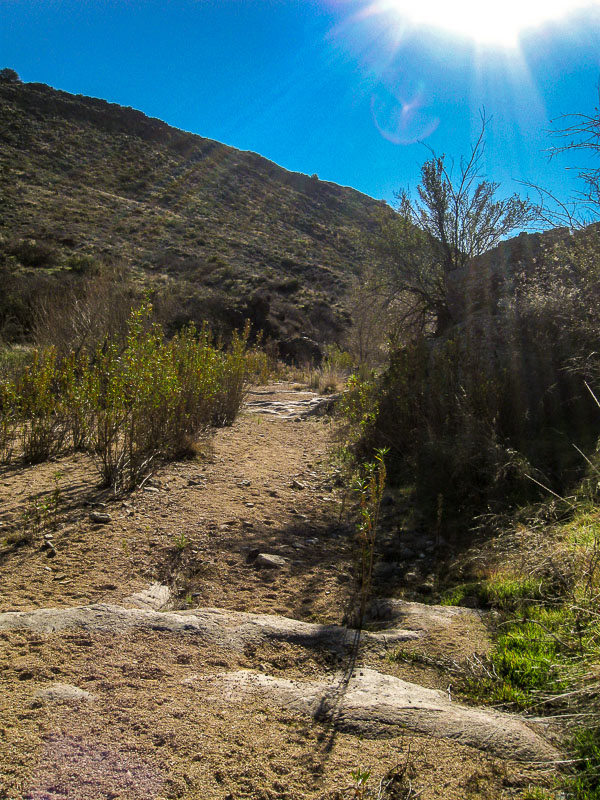
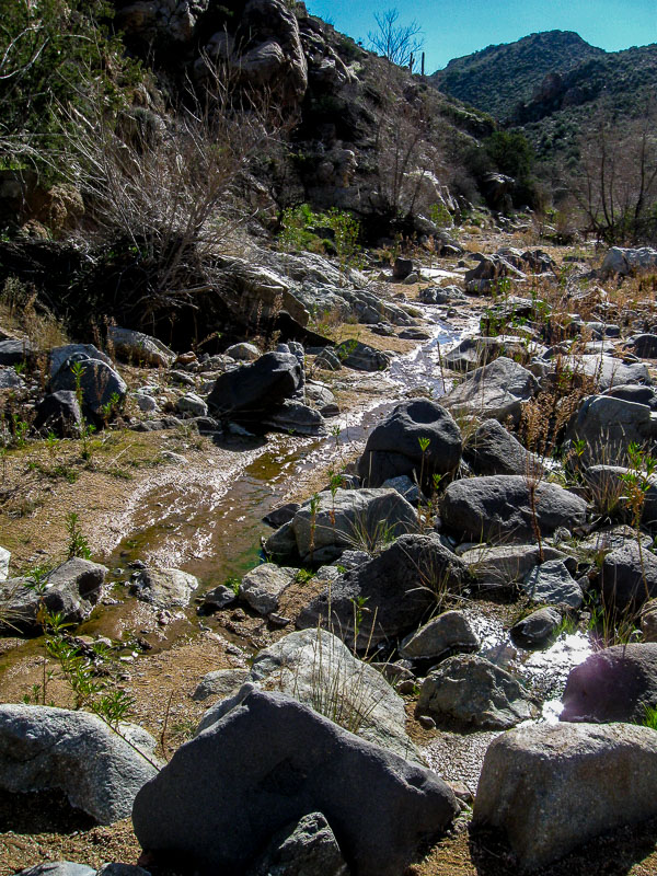
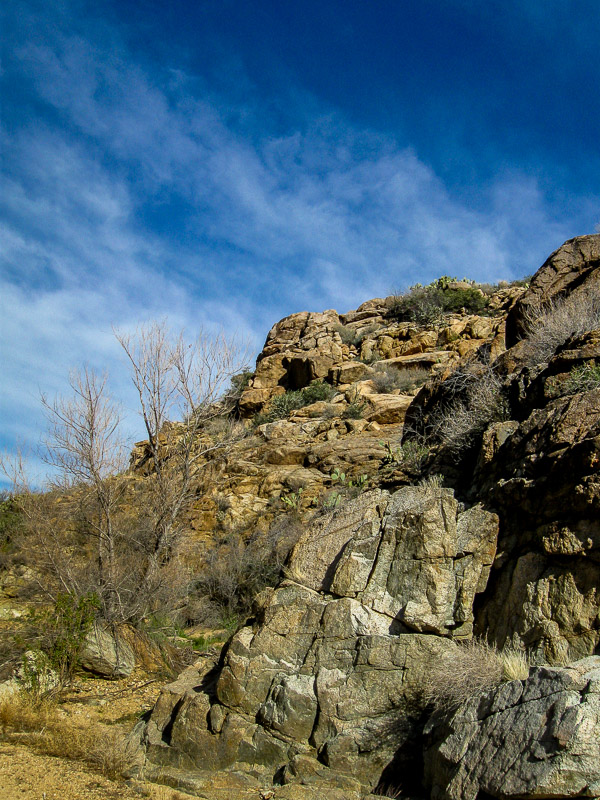
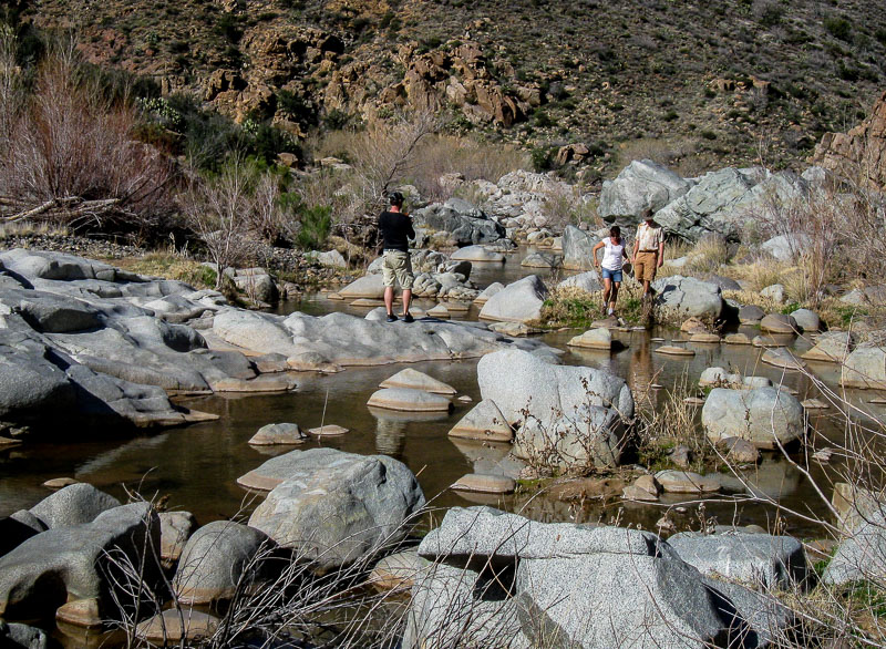
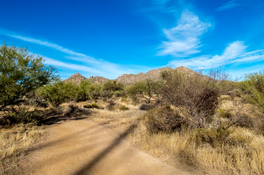
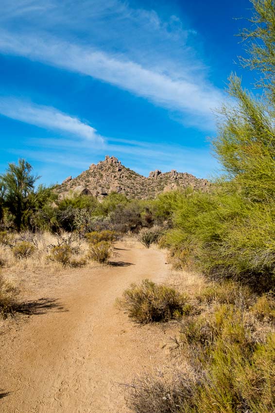
We have hiked other areas of the McDowell Mountain Presserve, but this was the first time at this particular location and we were not disappointed. Below is the view just a few yards away from the parking area.


View from the parking area

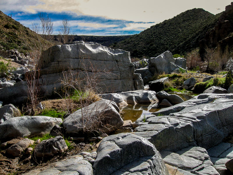
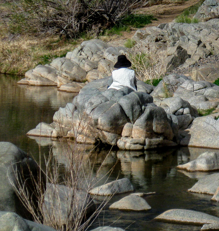
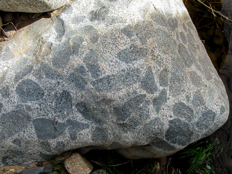
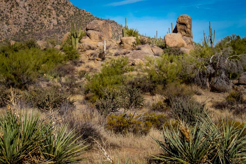
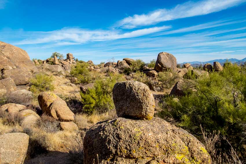
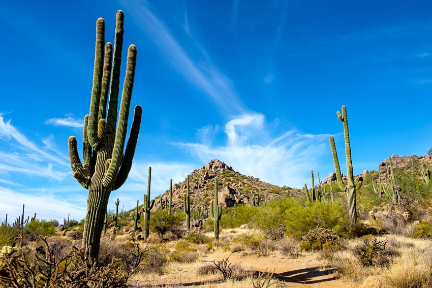
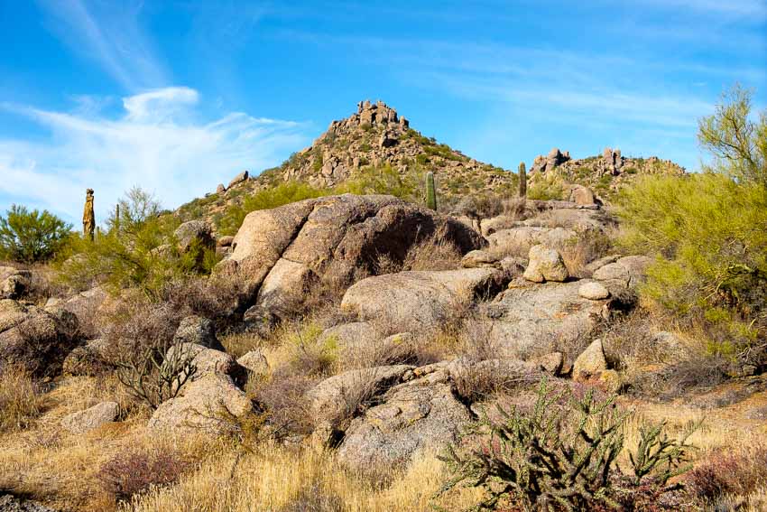
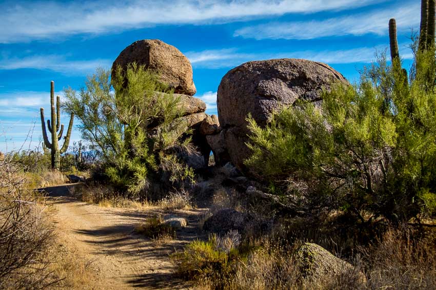
What helps to make this area somewhat unique and interesting are the boulders and boulder formations that populate the trail.


Numerous boulders along the trail

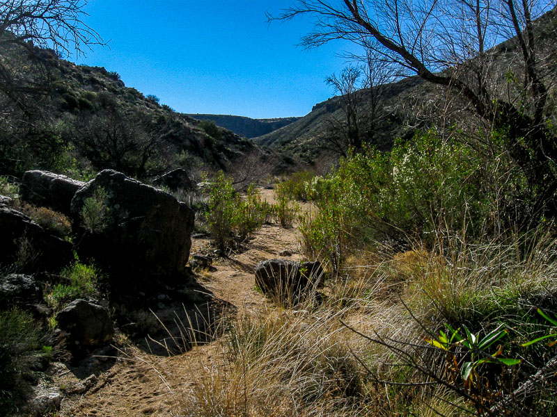
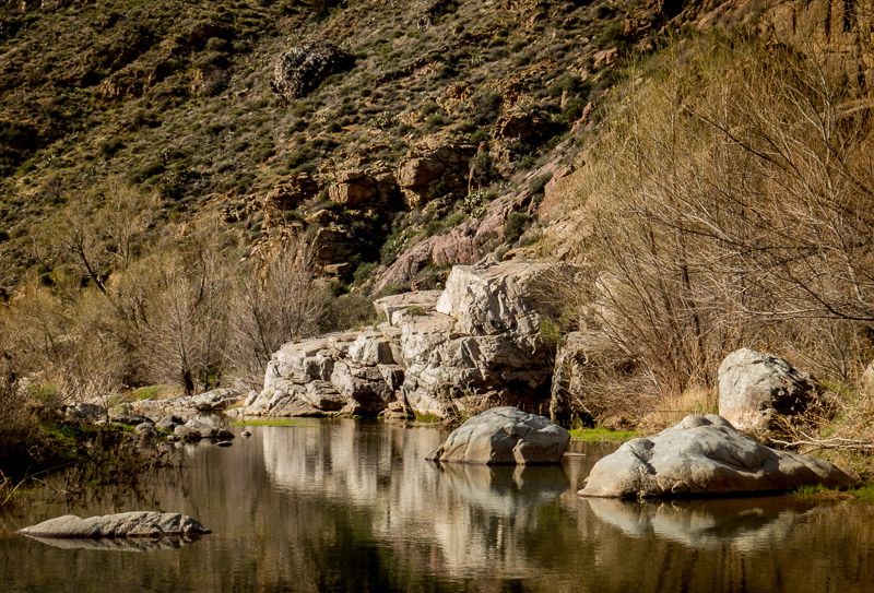
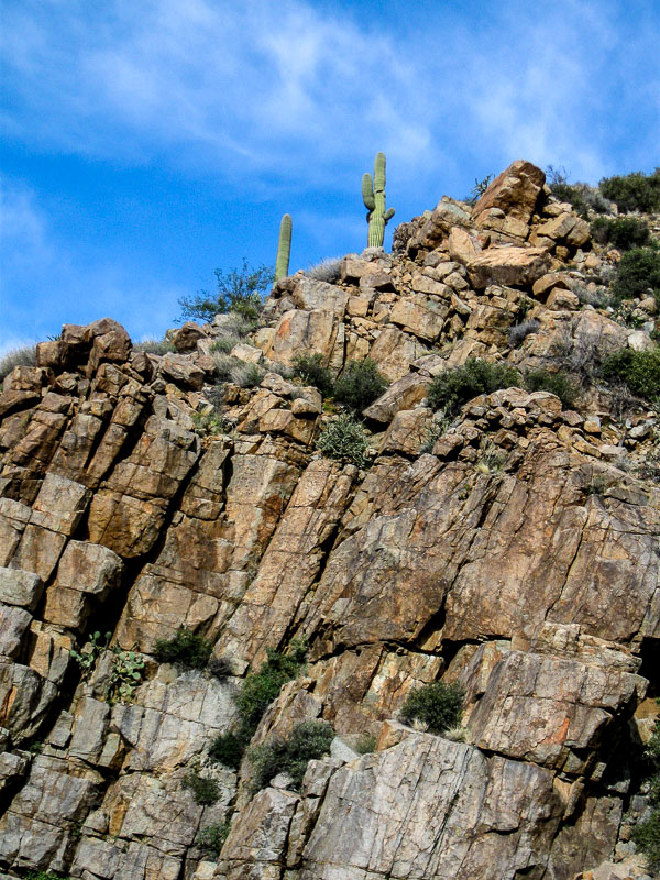
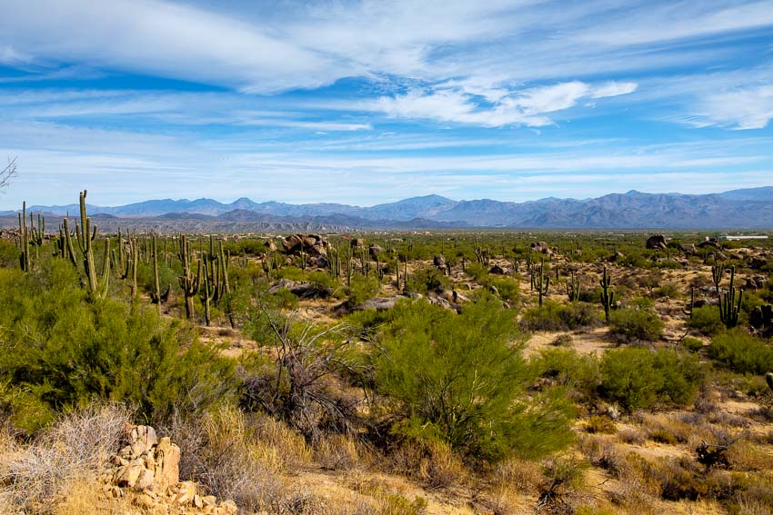
As we began to head west, the distant hills loomed large before us.


Granite hills rise up in the distance as we begin the hike.

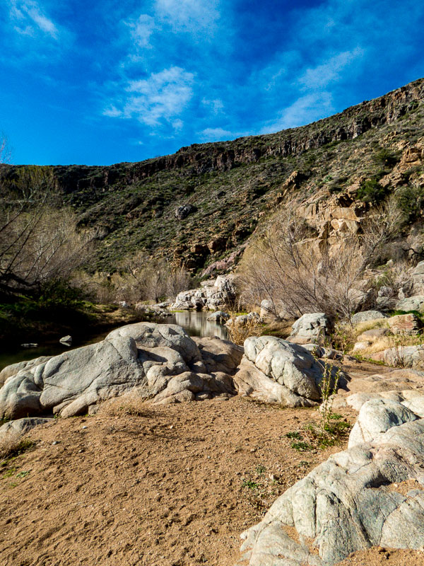
The essence of the area really cannot be captured in individual photos so I hope the panorama below provides a sense of the expansive, hilly terrain.


A panorama reveals the full scope of the vista


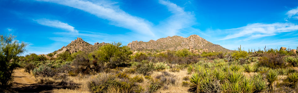
To see a larger version of the panorama, click HERE

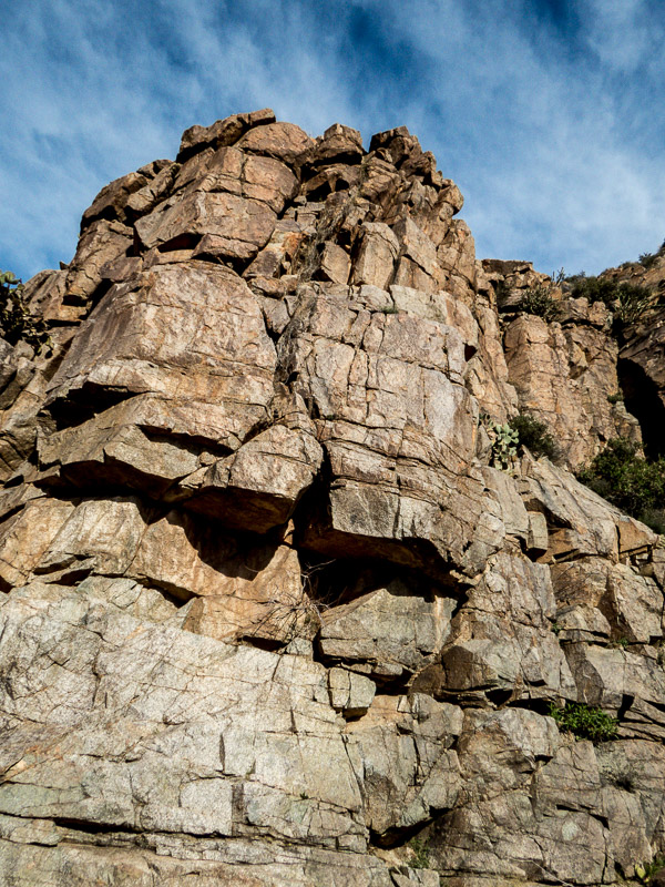
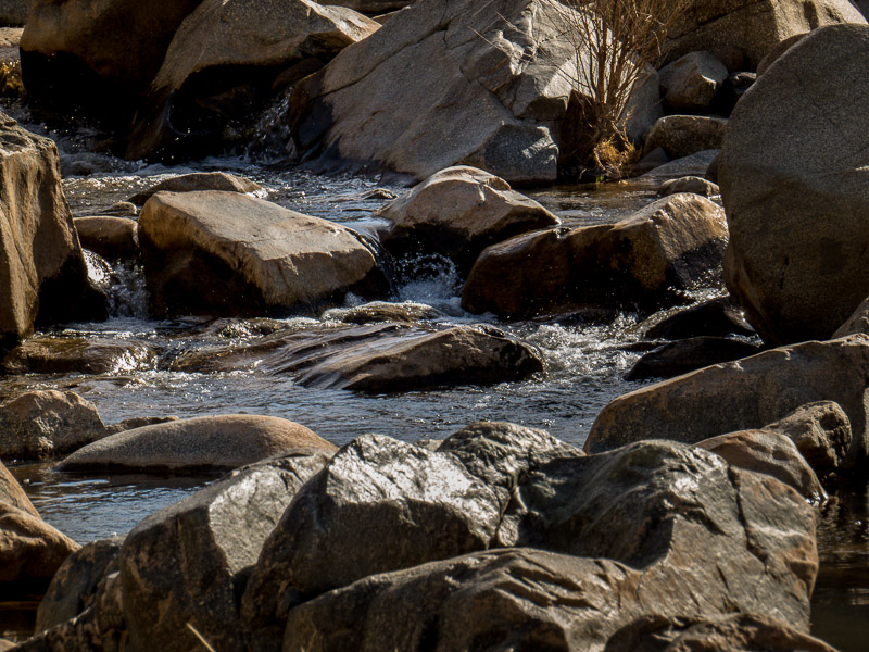
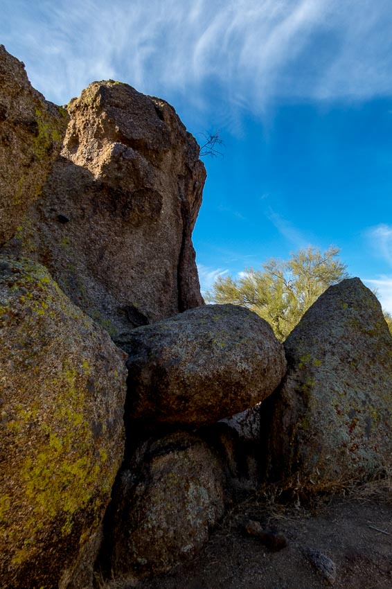
This was just one of the many boulder formations we studied as we hiked along the trail.


Interesting boulder formation

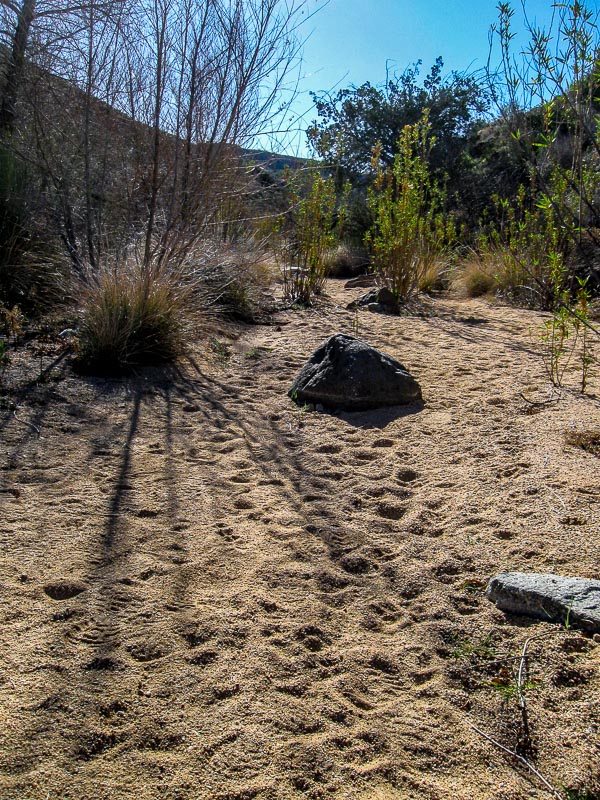
Boulder fields with rocks piled on top of each other often surrounded the trail.


Boulder fields with piles of rocks

As we hiked, I spotted a bird atop the granite hill far in the distance. Unfortunately my telephoto lens was not long enough to acquire a very detailed photo, but my guess is that it was a Harris’s Hawk (see the second image).


A distant bird; I think a Harris's Hawk


Closer view of the hawk

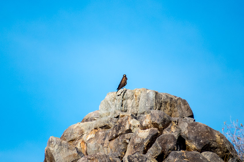
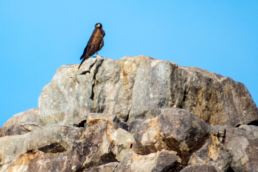
This is a description of the Harris’s Hawk from All About Birds – Cornell Lab of Ornithology:

“A handsome hawk of the arid Southwest, Harris’s Hawk is a standout with bold markings of dark brown, chestnut red, and white, long yellow legs, and yellow markings on its face. The most social of North American raptors, these birds are often found in groups, cooperatively attending nests and hunting together as a team. When hunting, a group of hawks surround their prey, flush it for another to catch, or take turns chasing it. This hawk’s social nature and relative ease with humans has made it popular among falconers and in education programs. “

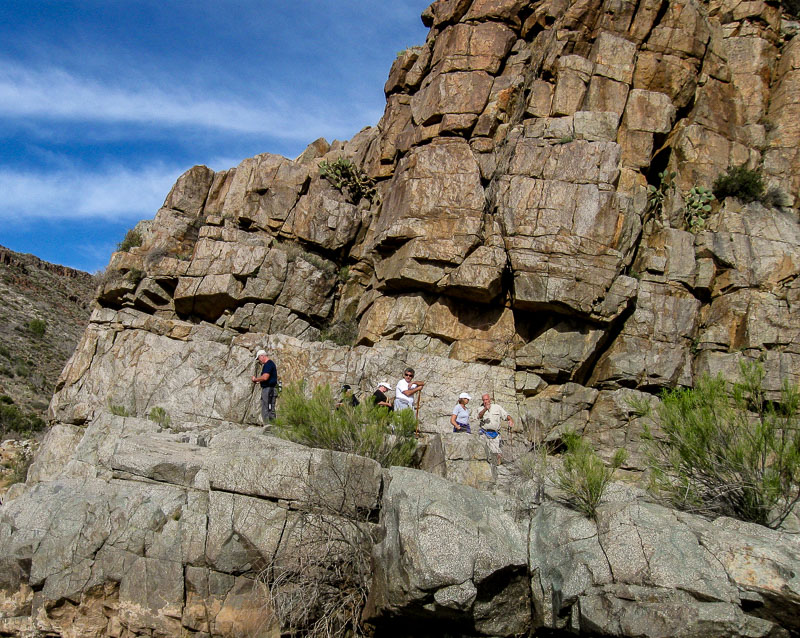
While this trail is listed as moderate, we are inclined to label it more appropriately as easy. There were some inclines and the path does lead up to the distant hills, but we didn’t find any sections that we felt were strenuous.


Picture of the saguaros in the foreground of the mountains


More pretty boulders with the mountains in the background

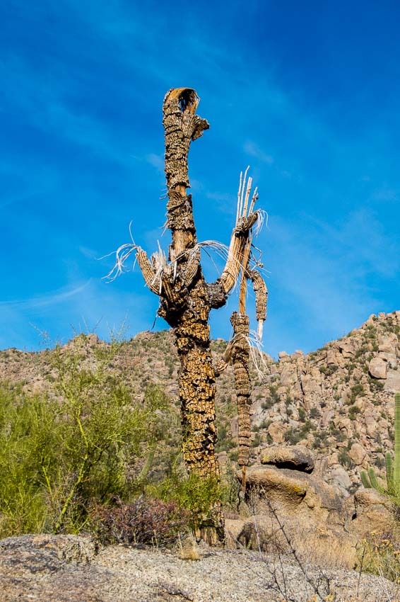
The desert is a very harsh environment and death is often in evidence. Once stately saguaros often succumb to damage or drought. Even in death, they grace the area and give evidence to the beauty that is the desert.


Dead saguaro still graces the desert

This was a lovely area with the saguaro straight ahead and the boulder formation off to the right in the shade. There was a small “window” in the bottom, middle portion of the rock formation which enabled us to get a peek of the upcoming distant vista.


A bend in the path with a saguaro and boulder formation

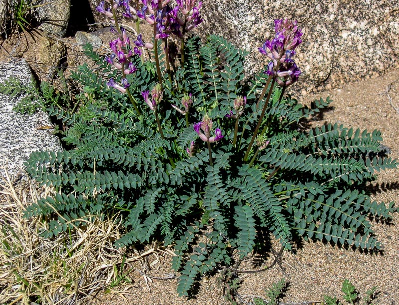
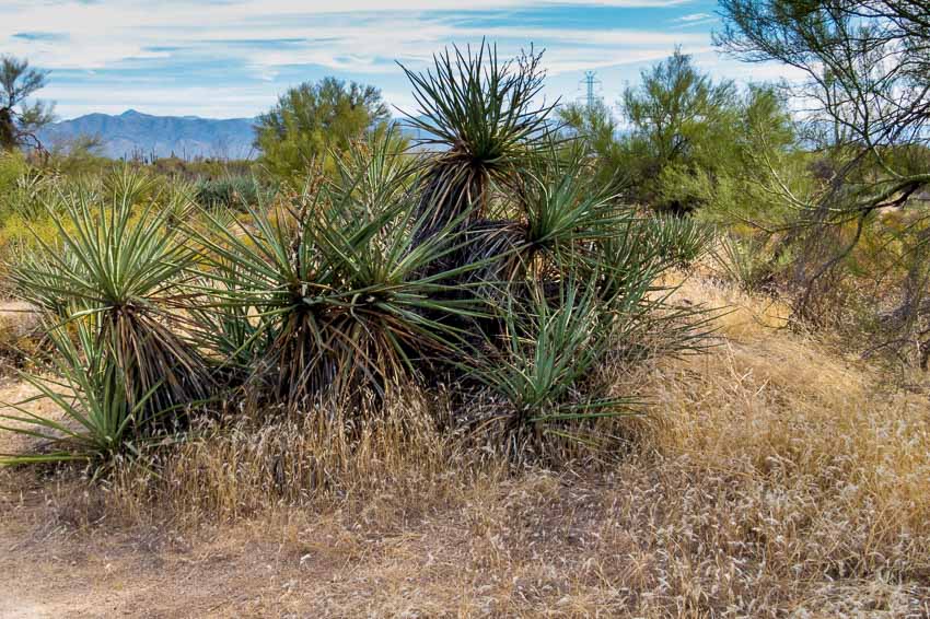
As desert gardeners and proponents of native vegetation we always enjoy seeing clusters of greenery in areas that receive scant rainfall.


Green desert plants contrast with all the brown rocks and land.

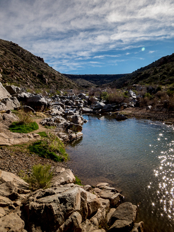
At the start of the trail and then again as hikers make their way back toward the parking area, there are distant views of desert mountains and nearby housing developments.


Another set of mountains can be seen off to the south-southeast

We plan to return to the Granite Mountain Trailhead to take other hikes that lead to different areas of this interesting region.

  • Length: 2.9 miles
  • Elevation change: 175 feet
  • Difficulty: Moderate
  • Use: hiking, biking and horseback riding


Read more Hiking and Exploration posts HERE


**********


All original content on this blog is copyrighted by Jeffrey B. Ross with ALL Rights Reserved. While reference links back to JBRish.com are appreciated and encouraged, please acquire approval for any reproduction of original content from this website.

© Jeffrey B. Ross – 2017 – JBRish.com


Drama Along the River – Year of Yosemite (YOY) – Day 273

Boulders with rushing water

Swirling rushing waters

The Merced River provided an exciting background for our hike along the Vernal Fall trail. The sound of rushing water paired with the gray overcast sky created some drama.

As we walked along and near the river, I couldn’t help but be captivated by the water’s sound and the beautiful earth-toned hues of the rocks, water and eddies.

 
Do you have a question about our visit to Yosemite? Ask it in the comment section.


JBRish.com originally published this post
*All photographs Copyright by Jeffrey B. Ross with all rights reserved.

 
See previous Year of Yosemite (YOY) posts HERE. If you want to read the introduction to the YOY series, CLICK HERE.

***********************************

Meta Data – Day 273 YOY – Year of Yosemite

File Name: 0421.NEF
Capture time: 1:12:10 PM
Capture date: June 10, 416
Exposure: 1/60 sec @ f/16
Focal Length:55mm
ISO 250
Nikon D3300


A Hike in the Agua Fria National Monument – Valentine’s Day

This may not sound like a very romantic Valentine’s Day, but for my wife and me, it was exactly the type of day we like. We took a hike in the Agua Fria National Monument in Arizona near Cordes Lakes just 40 miles or so North of Phoenix.

Agua Fria Nat'l Monumnet Sign

The area is a diverse riparian habitat which has been described as a “perennial river” meaning that there is water flowing in the area nearly all year long even though it is a semi-desert grassland.

This is what the trail looks like at the start. It hadn’t rained in a number of days so the river bed was dry and rocky.

Beginning of the Sandy Trail

As you can see many other people have been on this trail which follows the river bed and can be quite wet at times so be prepared. There are higher trails alongside most of the riverbed that can offer some drier terrain along parts of the hike if needed.

Many footprints in the sand

This was a perfect day for hiking. The weather was cool and the sky was clear and beautiful.

Boulders and vegetation appear in the river bed

This is a noted birding environment and while we saw some cardinals and a phainopepla, this curve-billed thrasher was the only picture I was able to take of the avian denizens on this day. While this isn’t the most flattering side of the bird, it does show how it got its name.

Profile of a cruve-billed thrasher

Along this stretch the stream was more pronounced.

The stream begins to run more abundantly

After hiking a bit in an easterly direction, the stream bed opens up to a river area which is more north and south in orientation. The boulders and hills form a picturesque setting even when the foliage of the landscape is not full.

picturesque area where the river is quite substantial as well as the boulder fields

Canyon walls and boulders along the banks

The nearby cliffs create a canyon wall on one side.

Cliffs around the the river bed

Detail of cliffs

On the cliff pictured above, we found this artifact which was probably used to support a cable or pipe of some sort.

An artifact of sorts for able or pipe

After continuing past this point we had to scramble across the boulder fields to continue to seek the path which would appear from amid the rocks at intervals.

More river and boulders of the Agua Fria

One challenge was finding a way to cross the river. People would seek their own “stepping stone” path hoping to make it to the other side.

Crossing the Agua Fria via boulders

While crossing the rocky terrain there would be fast running areas where the rocks would create eddys or small waterfalls.

waterfalls and eddys

Some of the literature notes that on warm summer days, pools will form where people can take a dip in the shallow water held by the circles of rocks.

Pools form amid the boulders

There was a group of hikers making their way into the canyon on this pleasant hiking day.

hiking group along the trail

Other visitors took time to sit and enjoy the tranquil setting.

Woman resting on a large section or rocks

Generally speaking, saguaro cactus do not grow in this area primarily because of the elevation, but this somewhat protected environment was well-enough suited for some to grow on the south-facing hillside.

Saguaros along the top of the cliff; unusual for this area

A number of rocks had curious patterns which I am sure geologists would be able to explain and perhaps find even more interesting than I did.

Darker gray pattern cover the rock

Butteflies were making their first forays into the field and here we see a slightly tattered Mourning Cloak (Nymphalis antiopa) upside down most likely looking for a place to lay some eggs.

Mourning Cloak Butterfly

Here is another picture with the wings slightly closed, but in a more appropriate and customary orientation.

Mourning Cloak Butterfly

The unusually warm days were probably responsible for this Ashen Milkvetch (Astragalus Tephrodes) to put forth its floral display. I like the detailed leaf formation of this particular plant.

Ashen Milkvetch plant with interesting leaf pattern

It was time to head home after a super hike!

Click HERE for more information about the Agua Fria


JBRish.com originally published this post

 
See more JBRish hiking posts here HERE