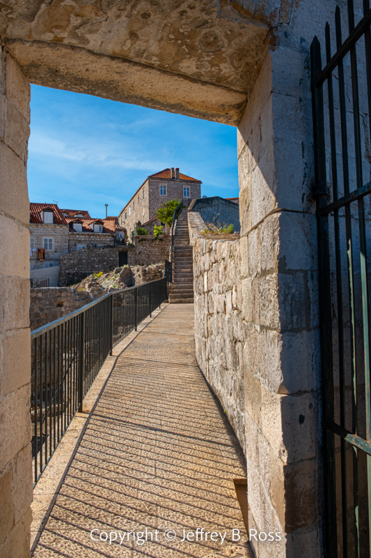
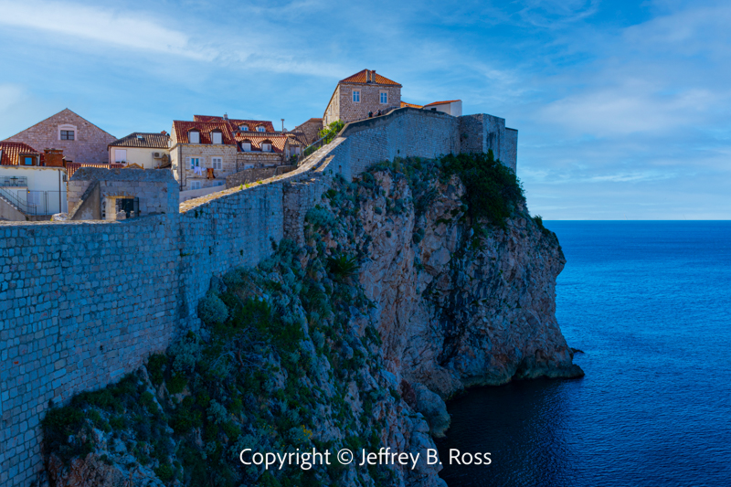
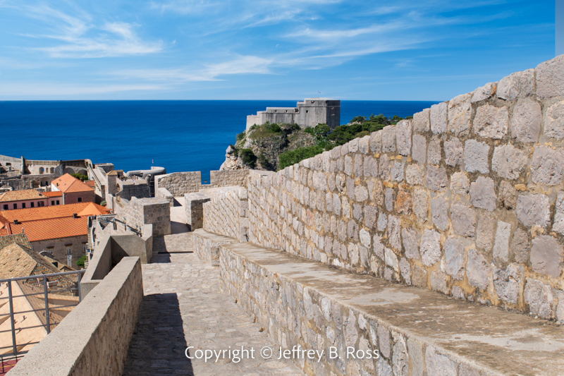
While walking the wall above Old Town Dubrovnik is certainly quite impressive, there is much to see and appreciate at ground level.
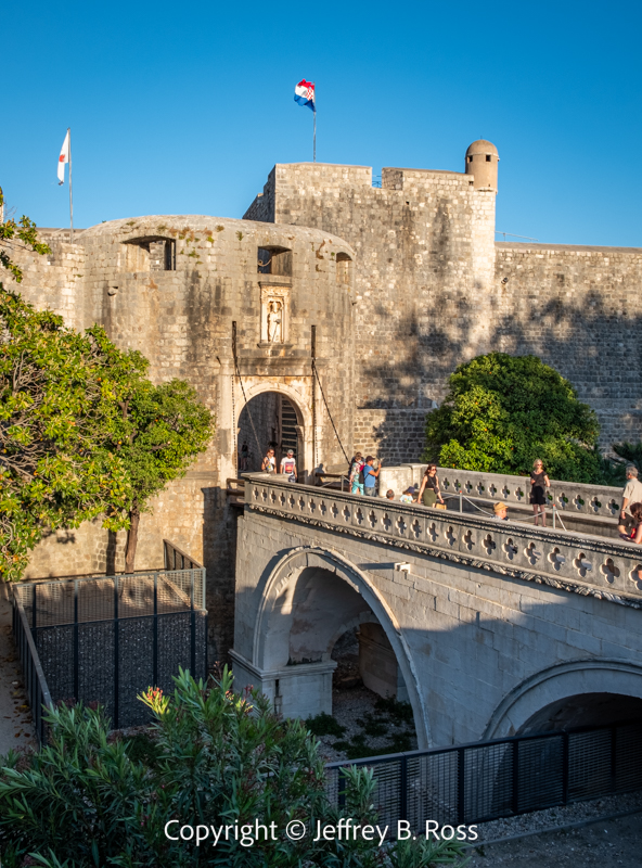
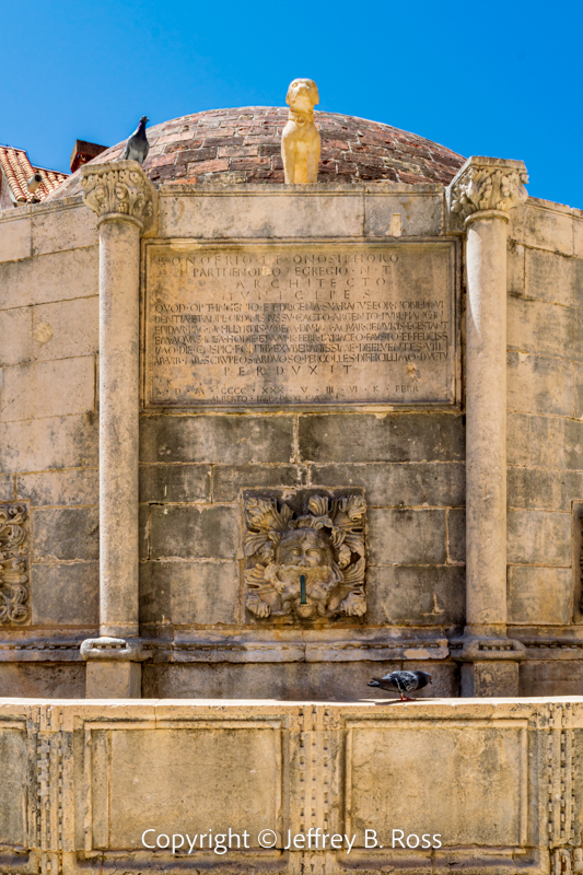
If entering at the Pile Gate (west entrance), one of the first iconic destinations is the Large Onofrio’s Fountain designed by Onofrio della Cava and Pietro di Martino dating back to 1438.
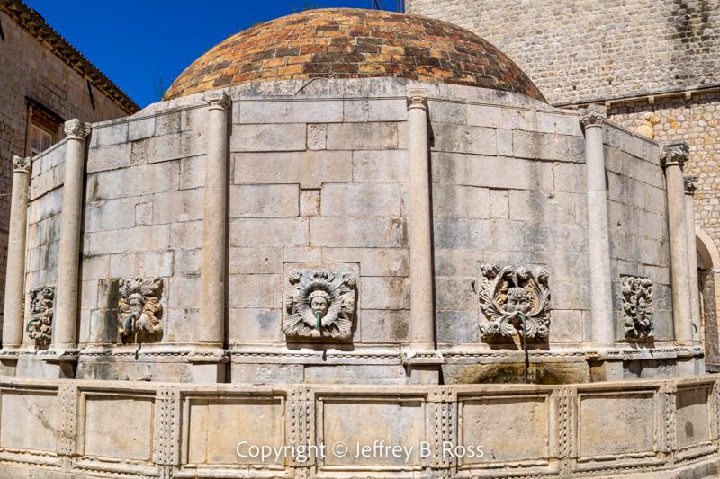
Interestingly, the fountain still services this section of Dubrovnik by providing potable drinking water.
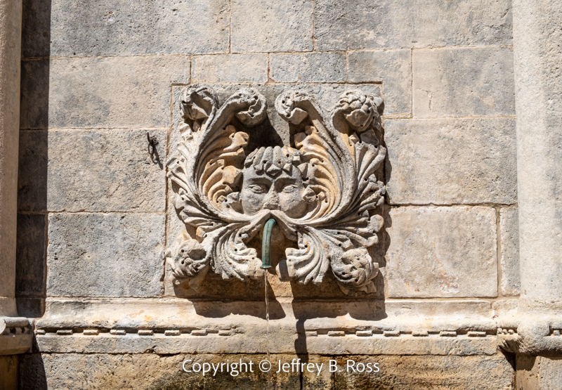
Each of the fountain’s 16 sections is decorated with a detailed “mask” and a spigot coming from the mouth. A number of tourists used the fountain to fill their drinking bottles.
During earthquakes and through aging, the fountain sustained damage. Although the reconstruction was not quite as ornate as the original, it is still impressive. Kučak, the fountain dog, suffered severe damage, but was finally restored in 2016.
You can read about Small Onofrio’s Fountain HERE
The approximately 300 meter long limestone main street in Old Town is referred to as the Stradun. This is where a number of main attractions can be found.
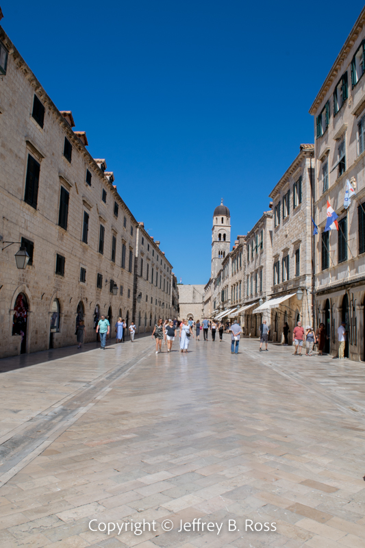
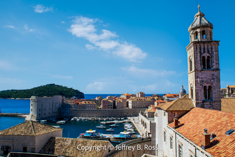
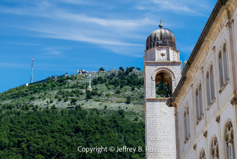
Dubrovnik’s Bell Tower is a major landmark dating back to the 15th century. It is pictured below with Mt. Srd in the background. Two metal figurines known as “The Greens,” strike the bell every day at noon alerting those in and around Luža Square.
Read more about the interesting history of the Bell Tower HERE
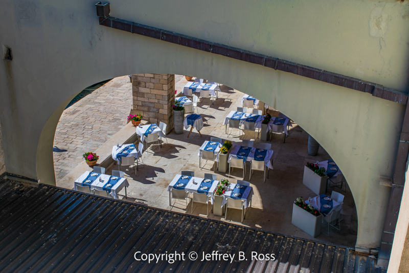
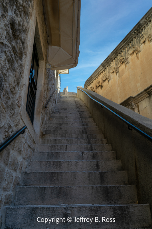
There are many side streets which invite tourists to stroll down to explore the variety of shops and restaurants.
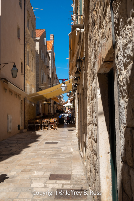
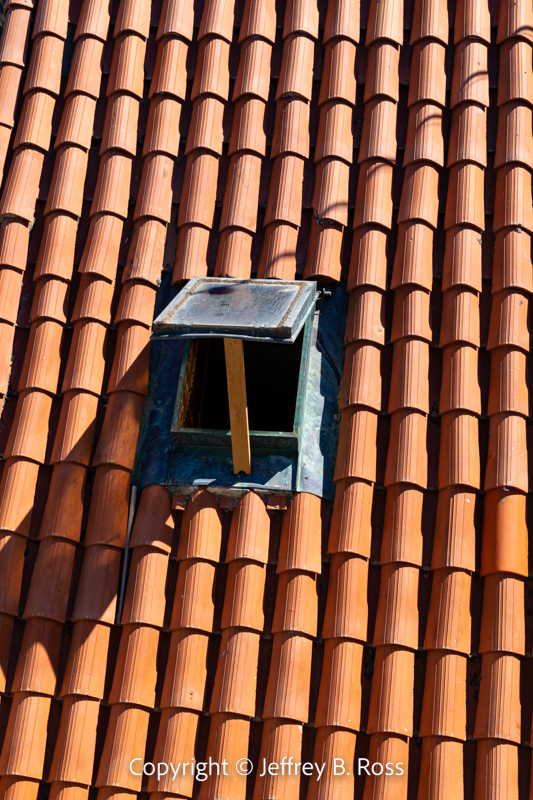
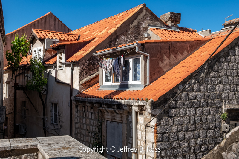
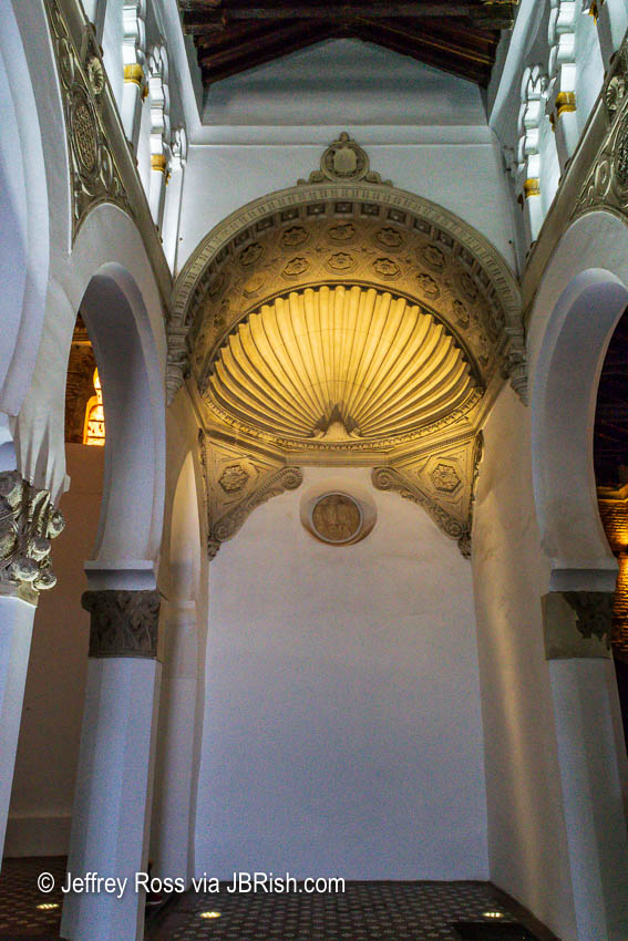
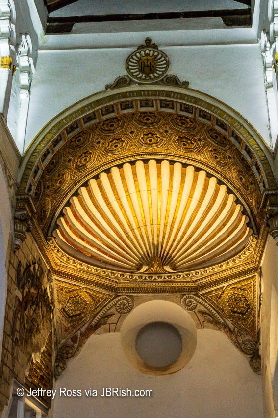
Don’t forget to look up to appreciate the architecture that does not appear easily in view.
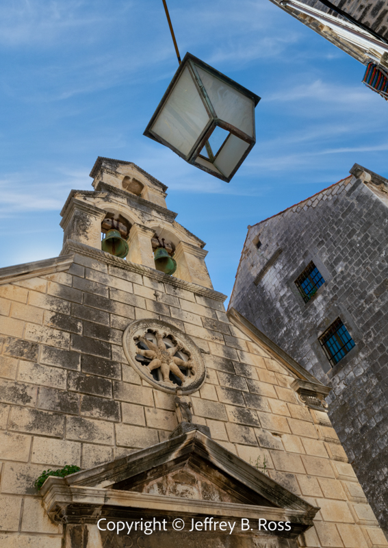
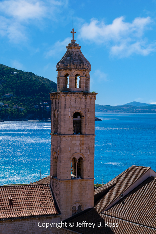
The Church of St Nicholas Bell Tower
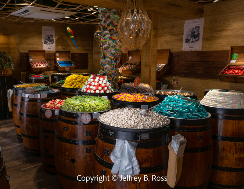
Of course not all is old. What tourist area would not benefit from a candy store? This particular version is quite different.
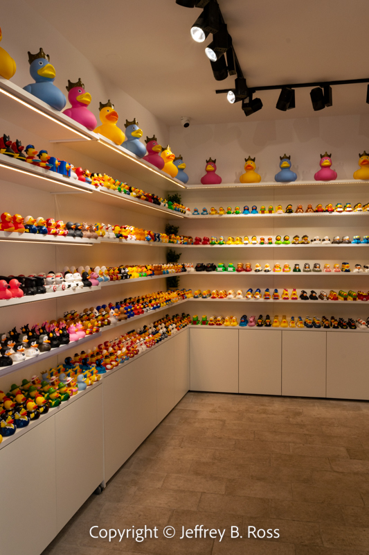
Needless to say, there are also numerous gelato venues. A somewhat unique shop offered toy rubber ducks. Perhaps they have duck races from time-to-time in and around Old Town.
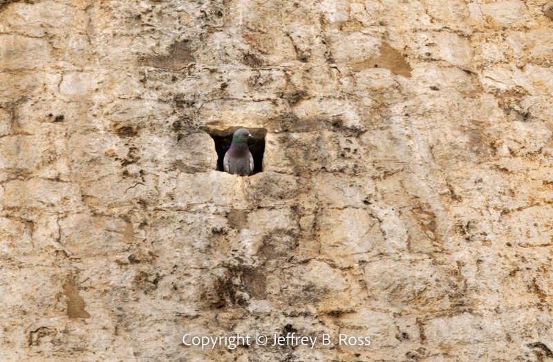
In a fashion similar to that of St. Mark’s Square in Venice, pigeons have found a welcome home in Old Town. There are holes in the walls (aka “bird hotels”) used to erect scaffolding when work needs to be done and the birds have turned these niches in to nesting places.
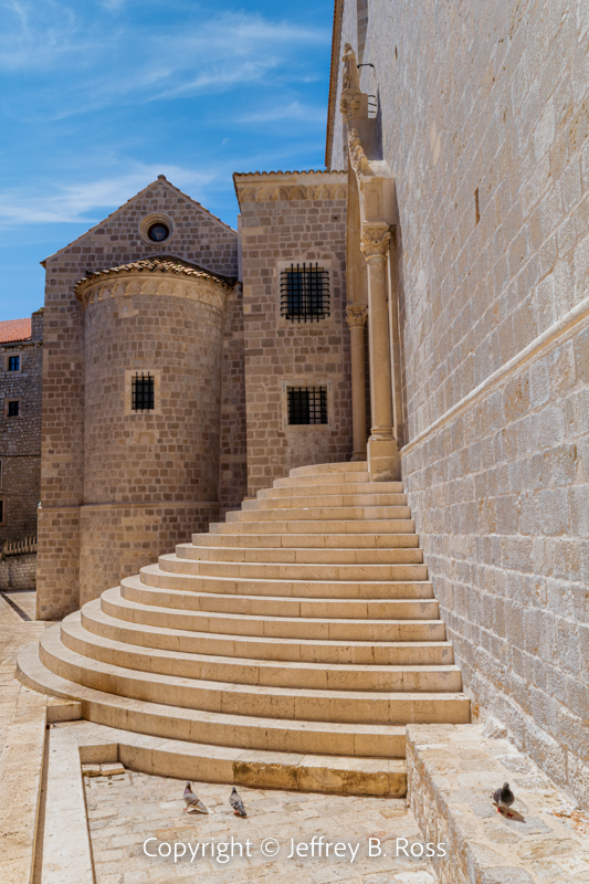
At the far end of the main Stradun, near the Ploce Gate (east side), is an entrance to the Dominican Monastery showing amazing architectural grace and beauty.
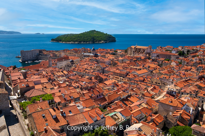
It is easy to understand why Old Town is a tourist favorite with so much to see and explore! Scroll down for a few quick takes…
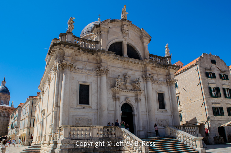
Luža Square with the Church of St Blaise
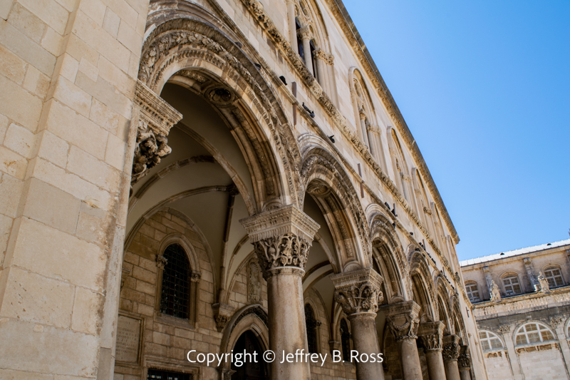
Administrative buildings, such as the Rector’s Palace show incredible detail and craftsmanship.
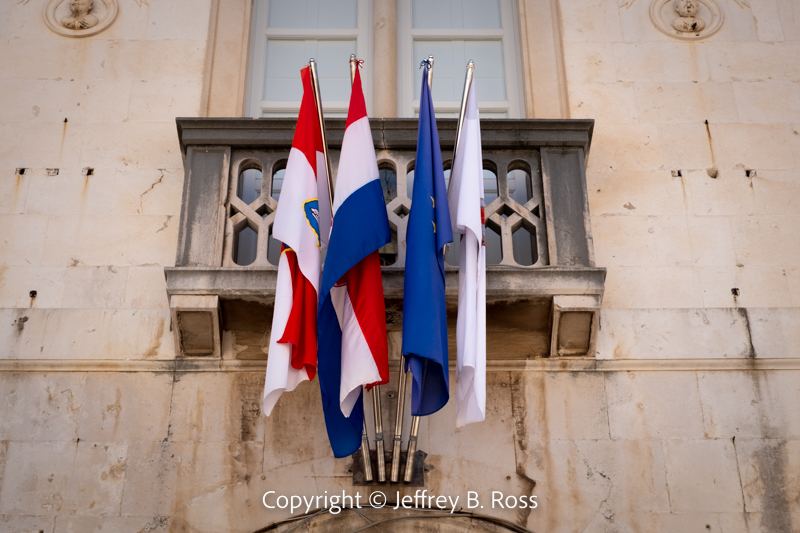
National and county flags decorate a number of the office buildings.
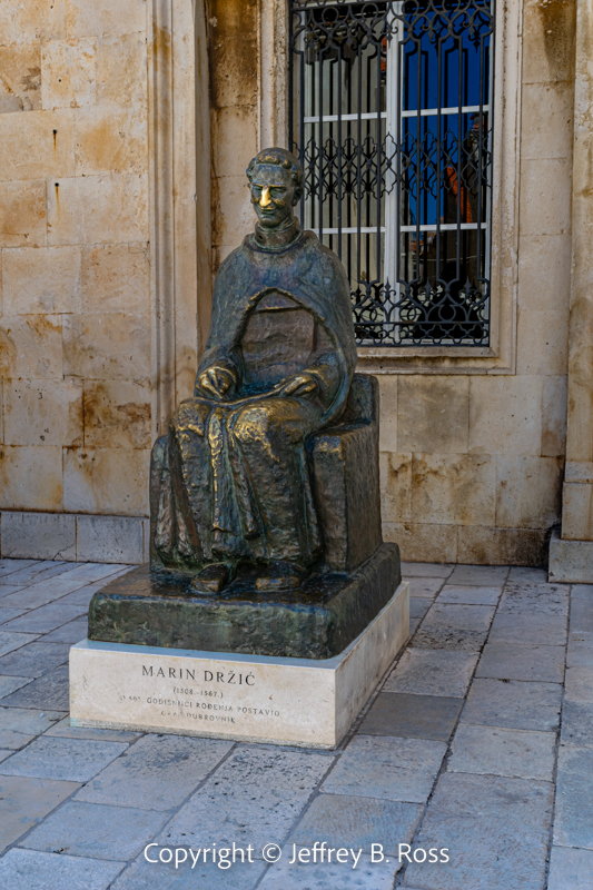
A statue of Croatian writer Marin Držić receives nose rubs from passersby.
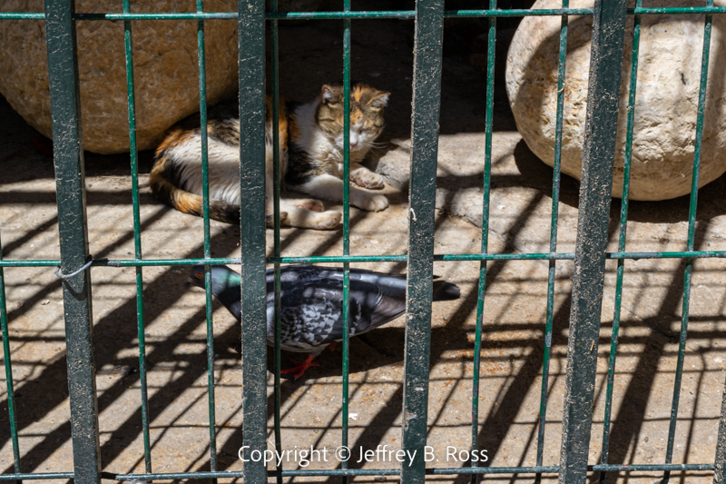
As we departed Old Town for the last time, we noticed (among the replica cannon balls) a cat eying a pigeon only a foot away. Both bird and cat seemed pretty laid back in the moment. Apparently all was peaceful this day in Old Town.
See previous entries in this series of posts:
Dubrovnik, Croatia – Pearl of the Adriatic
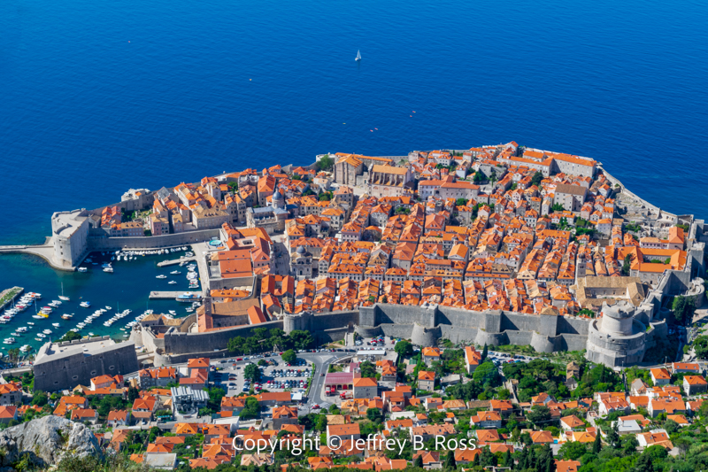
Old Town Dubrovnik – Above it all
Next stop – Dubrovnik viewed from the Adriatic and above!